Huaraz, Peru
Huaraz is an adventure town nestled high up in the Andean Mountains north of Lima. It sits at 3050m (10,013ft) above sea level and takes about 7 hours by bus to get there from Lima. If you look at a map, Huaraz is only 50 miles inland from the coast which makes its high elevation even more interesting! Most people seek out Huaraz for the Cordillera Blanca mountain range (2nd highest range behind Himalayas) and Huascarán National Park. This area contains 18 peaks over 6000m (20,000ft), 300 alpine lakes, and over 600 glaciers, many of which are readily accessible as day trips from Huaraz!
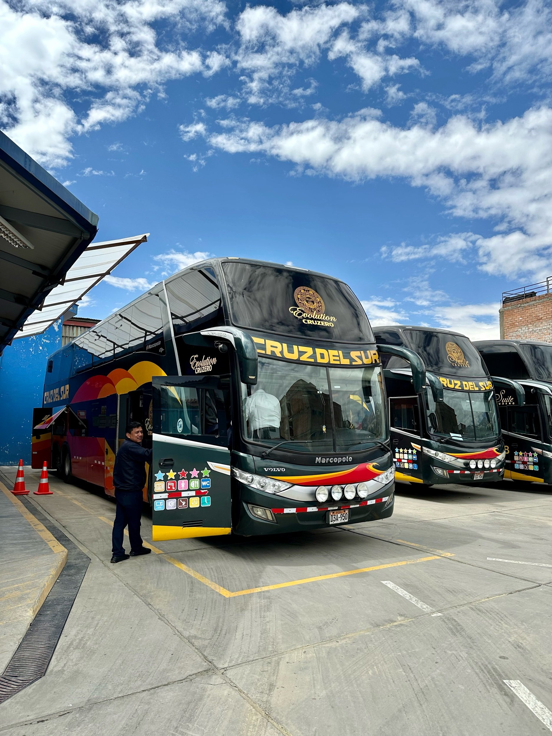
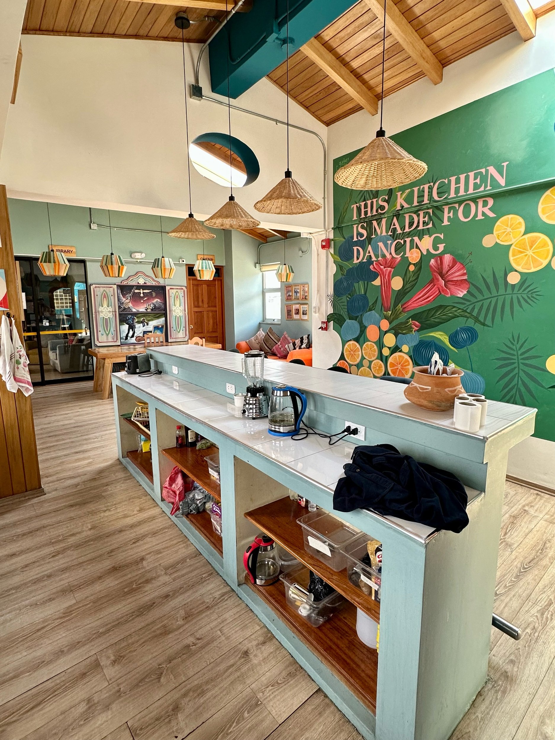
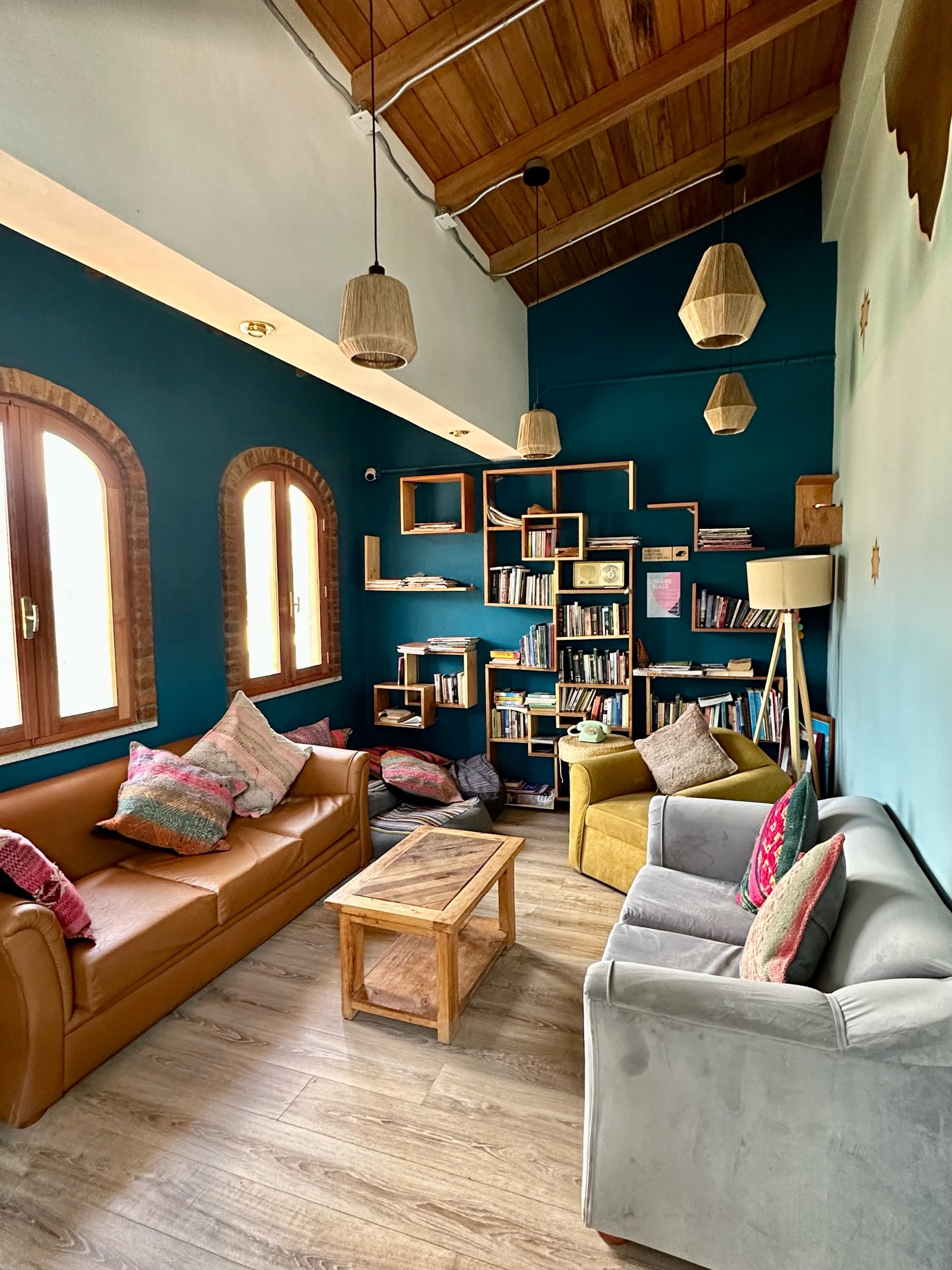
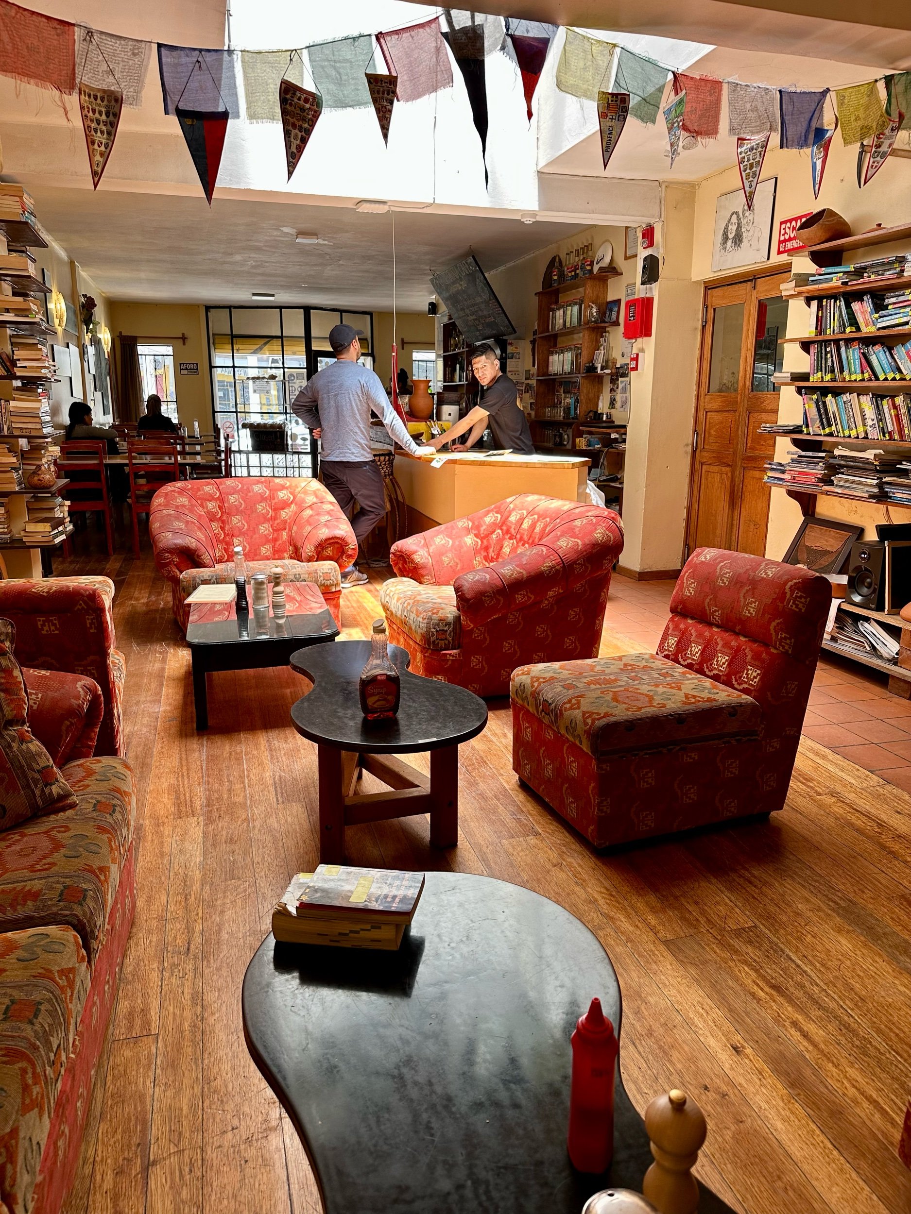
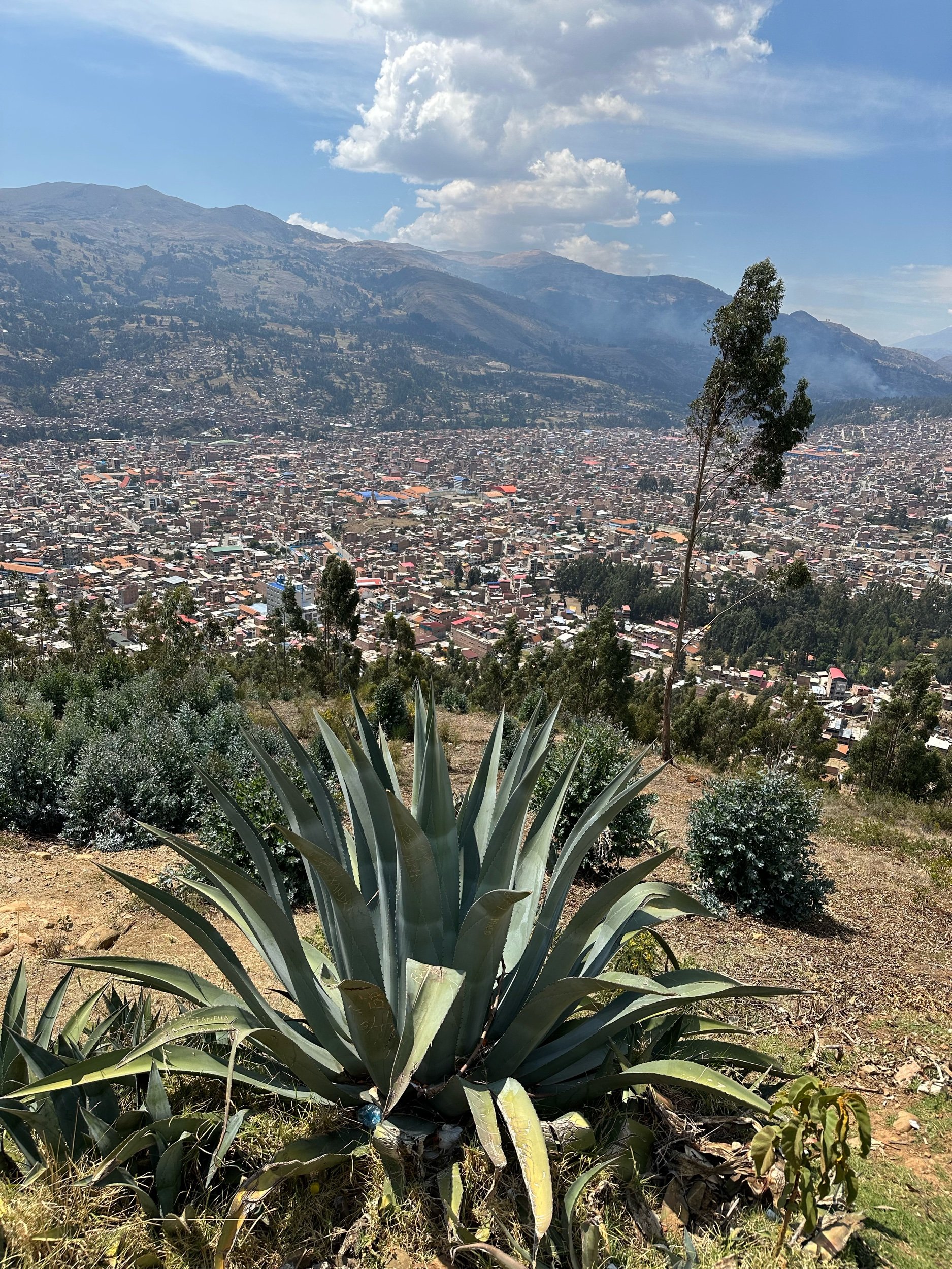
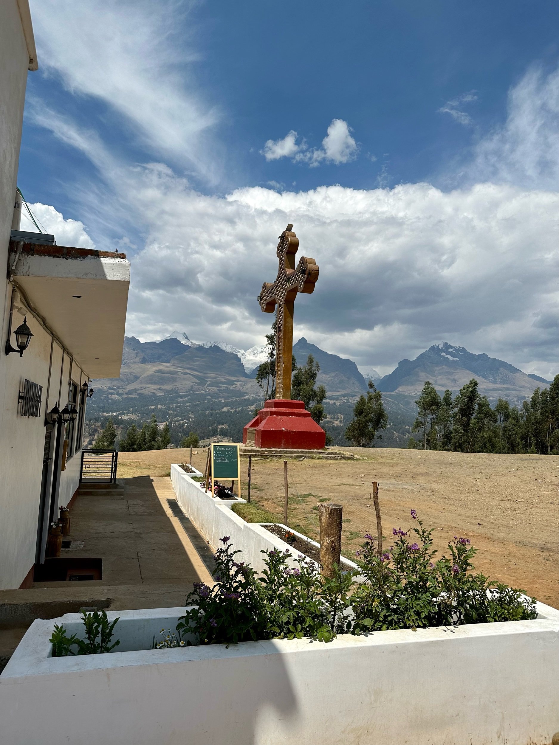
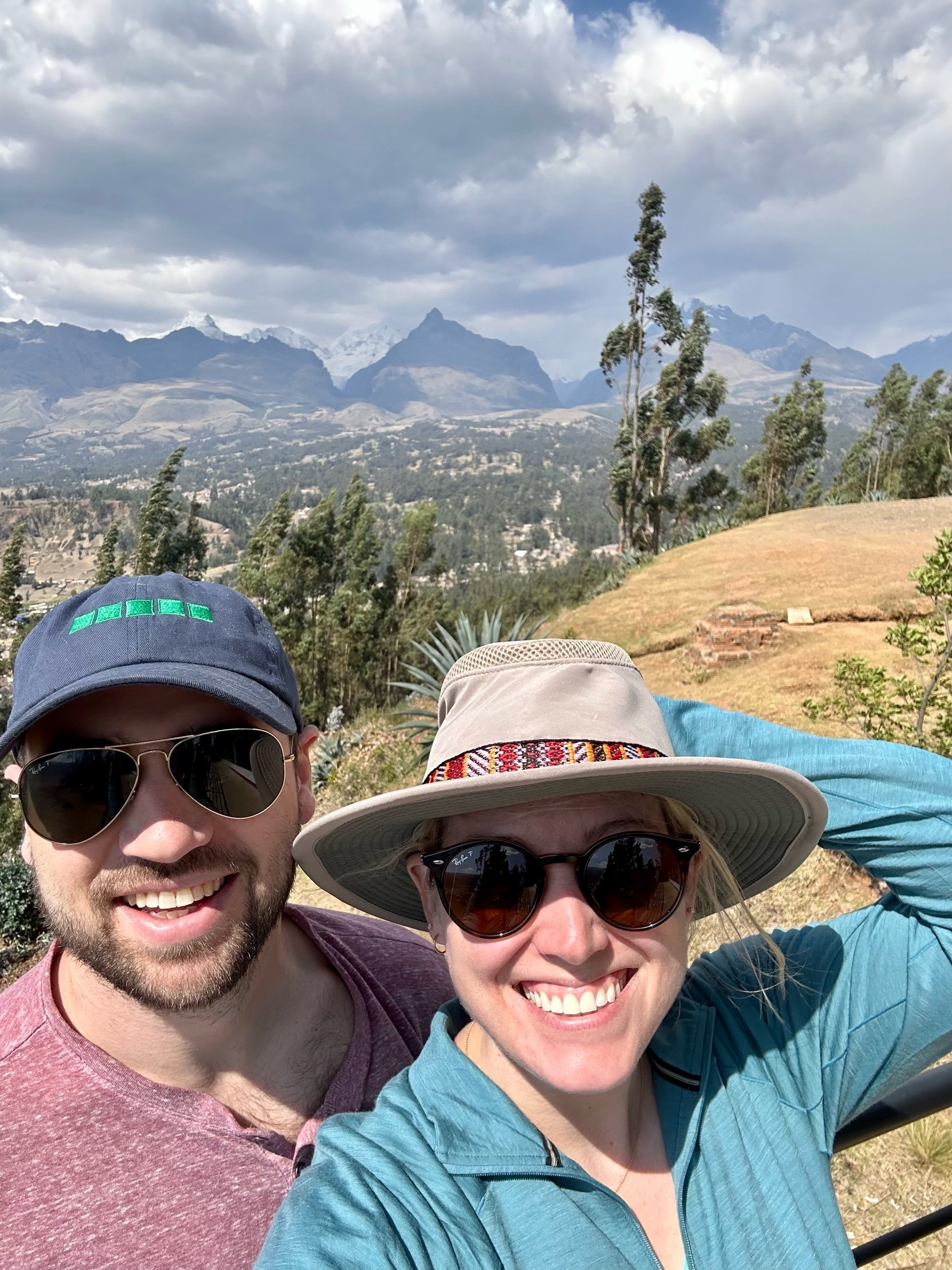
We set off for Huaraz on a Cruz del Sur bus with a gang of Cheznian mountain climbers. We made it in one piece (barely for Susan & her GI bug) and found our hostel. When you go to elevations above 3000m (~10,000ft), you need to spend some time acclimating. Since all of our hikes we wanted to do were over 4300m (14,250ft), we had set out 1-2 days to acclimate in town and do some lower altitude hikes. Unfortunately, Susan’s inability to eat or trust a toot for 48 hours derailed the plan slightly. We spent the first 2 days in Huaraz doing errands, setting up tours, and Susan recovering in the cutest hostel there was. On the second day, we did hike up to Mirador Huaraz that overlooked the entire town and valley. It was really cool to see how large this small mountain town really was and see some of the white tipped peaks just past our valley.




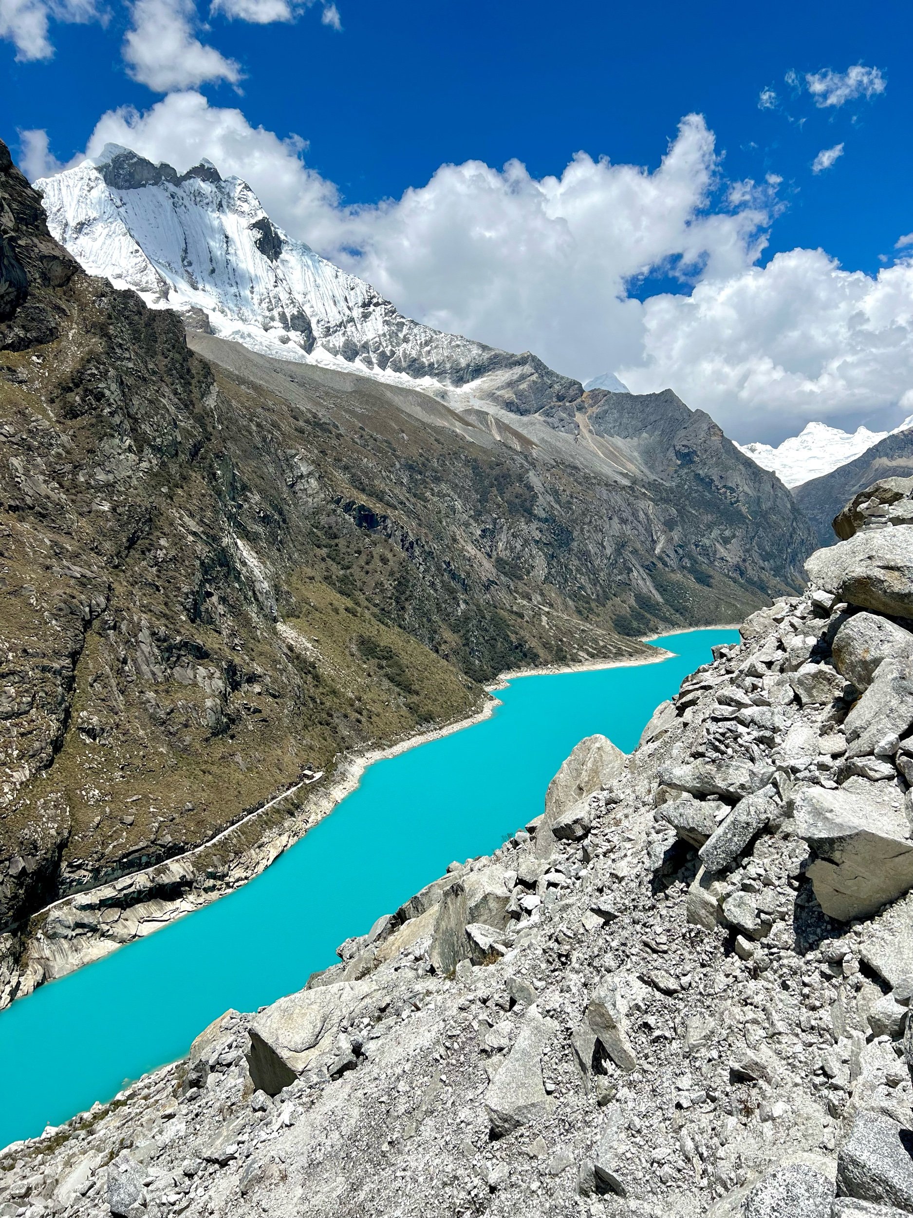
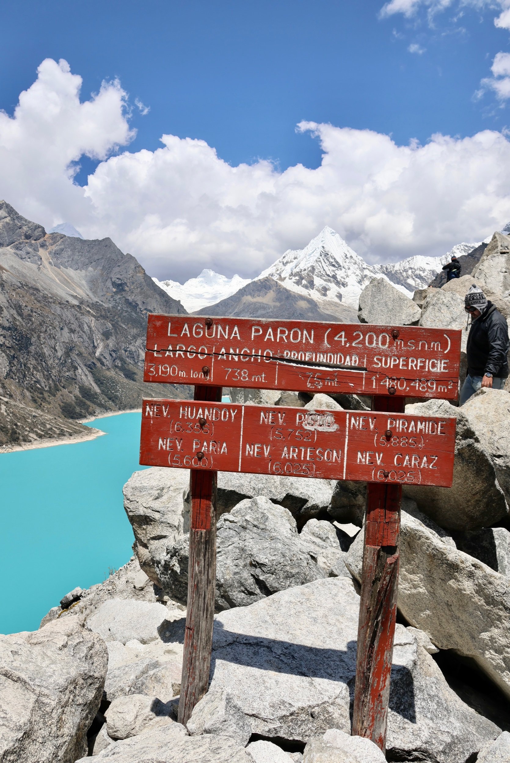
The real excitement came in on day 3 when we traveled to Laguna Parón (Parón Lake). This alpine lake is created by glacial runoff and sits at 4175m (13,700ft). Parón is a 3 hour drive north of Huaraz, with half of the time on a paved highway and the 2nd half on a gravel road doing switchbacks up the valley. We were picked up in our touristo colectivo white van with 12 other new friends and headed north. Our guide gave a bunch of information about the surroundings and Huascarán NP, but unfortunately it was all in Spanish. We thought we booked an English guide, but for $12.50 per person, I guess we will go pickup a guide book and read some info on our own time!
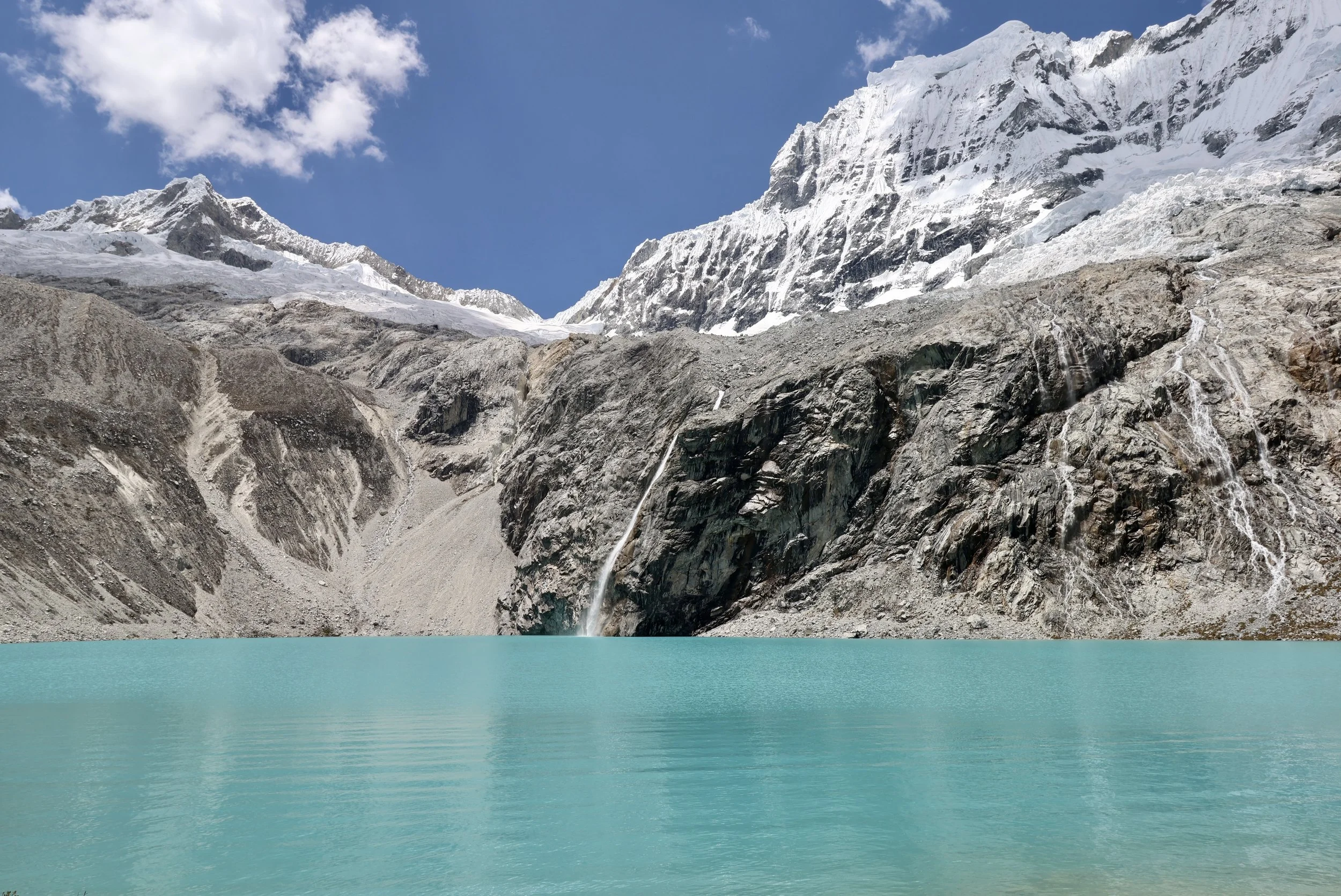
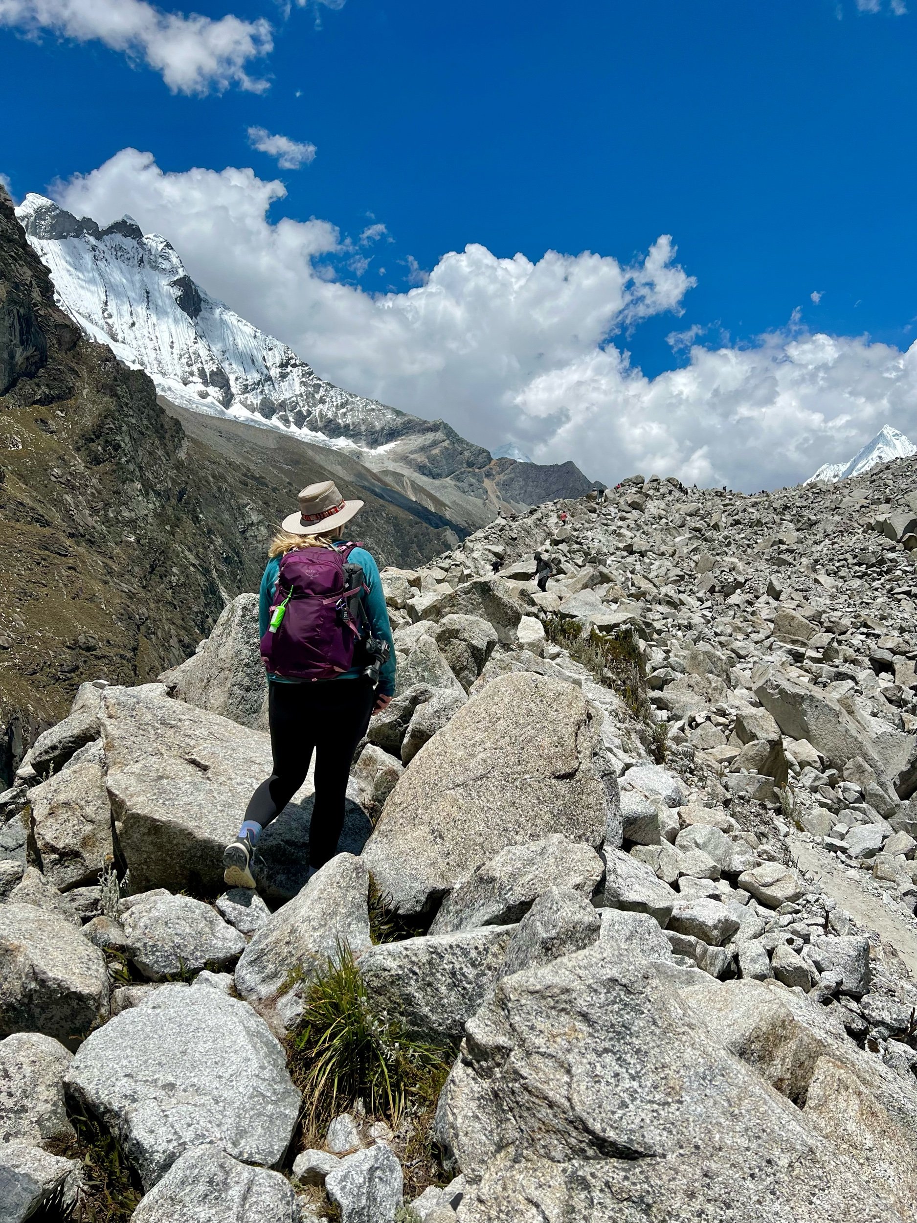
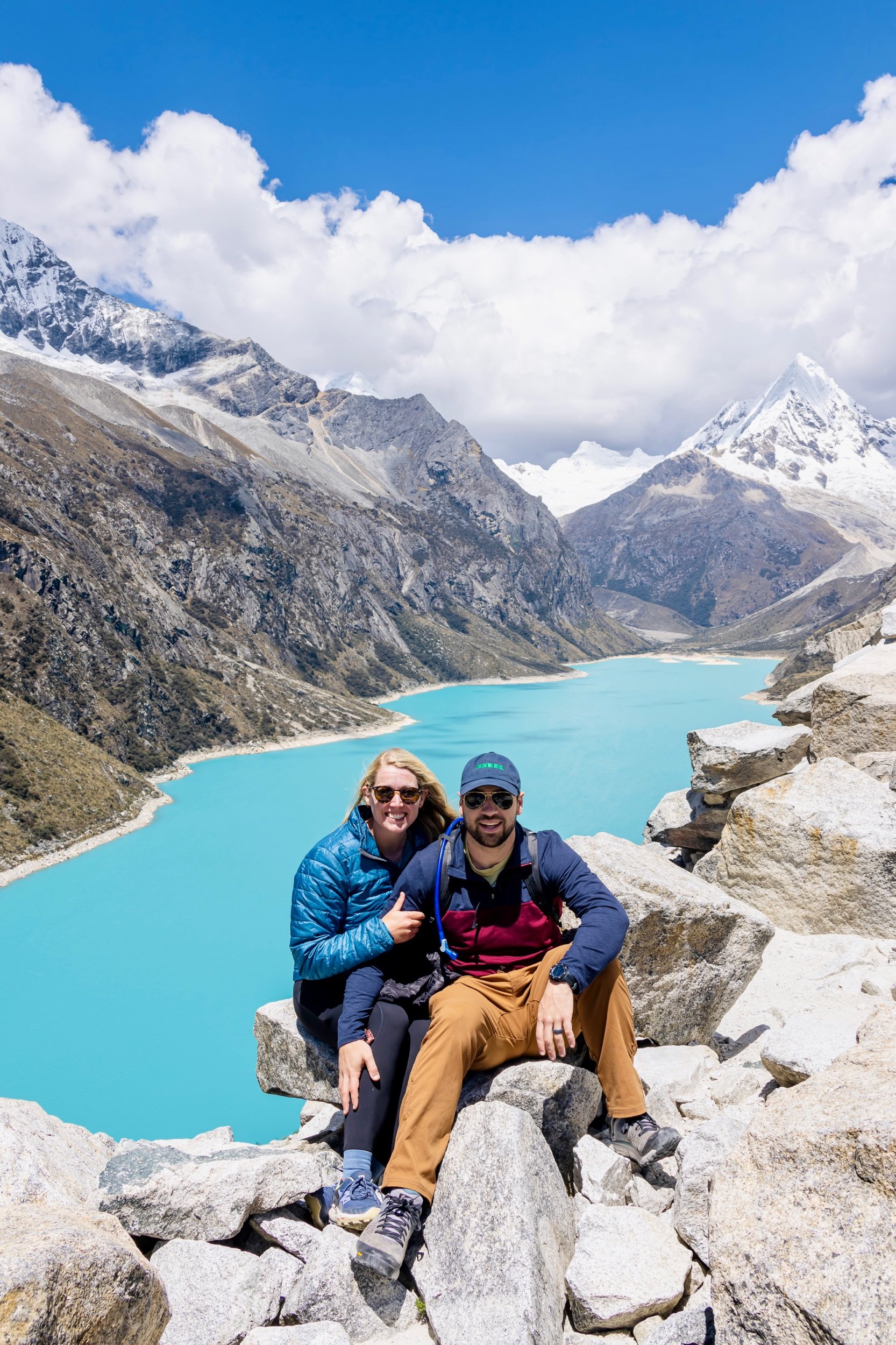
We finally made it to Laguna Parón and wow was the drive worth it! We hiked an additional 500ft up the Mirador Trail to get a better vantage point from 4345m (14,200ft). We had a beautiful clear sky to admire to shocking teal blue water that was flanked by amazing 6000m (20,000ft) mountains. The most famous of these mountains is the “Paramount mountain” at the very end of the lake. This peak has this nickname since it’s rumored to be the mountain peak that inspired Paramount Motion Pictures logo! The climb was difficult due to the altitude and rock scramble aspect, but wow was that a gorgeous glacial lake! Matt and I have officially done a 14er (even though it was only a mile lol)! Although we won’t count that award until we complete a real hike tomorrow…


The day we have been waiting for! Laguna 69 is a gorgeous blue alpine lake sitting above an amazing valley with waterfalls and pastures to hike through. It’s on every Huaraz visitors must do list, including ours! Here are the stats for Laguna 69 Trek: 8.6mile, 2,700ft elevation gain, max altitidude 15,133ft. Did we train? No. Are we insane? Yes. Okay great, so here’s how it went…
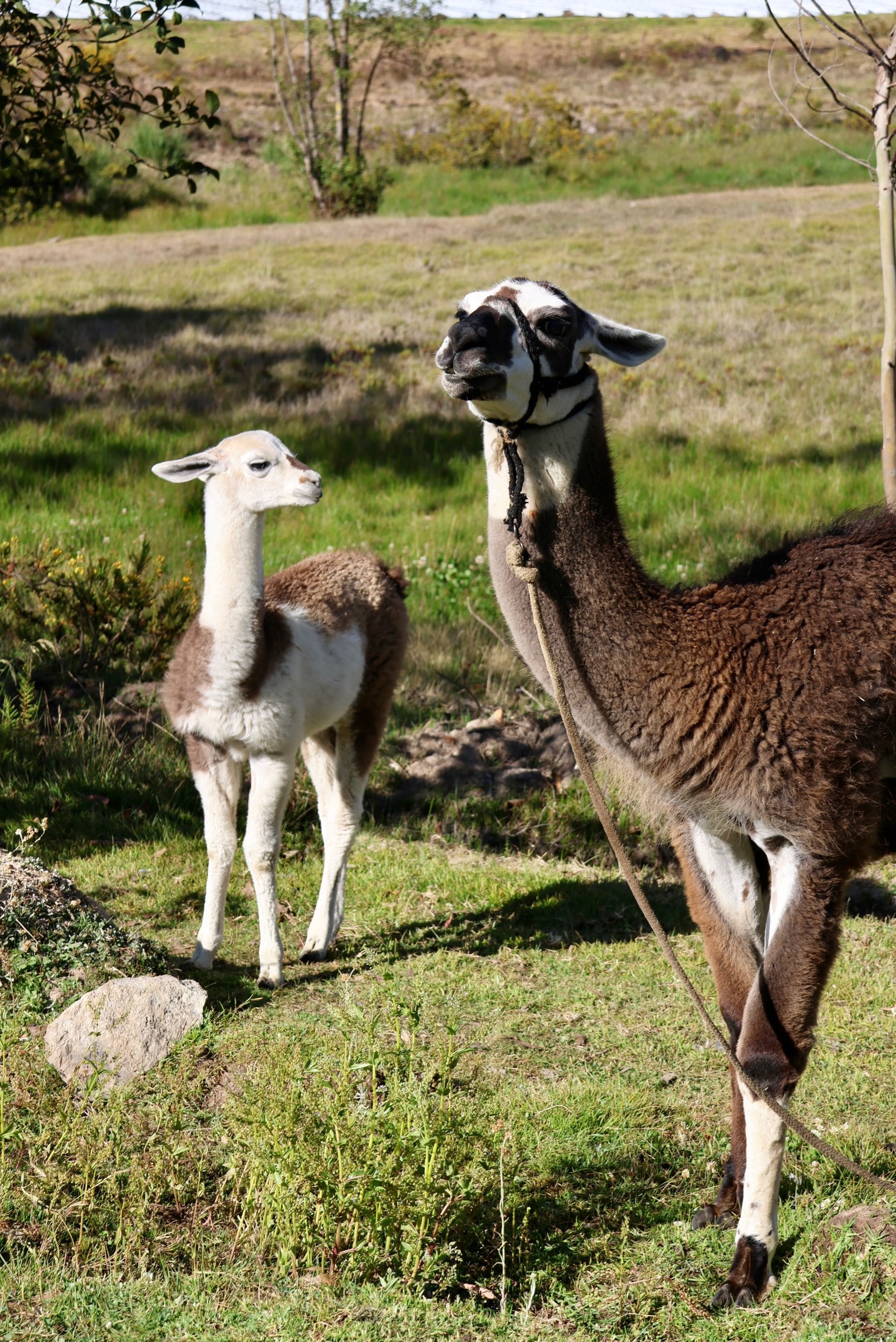
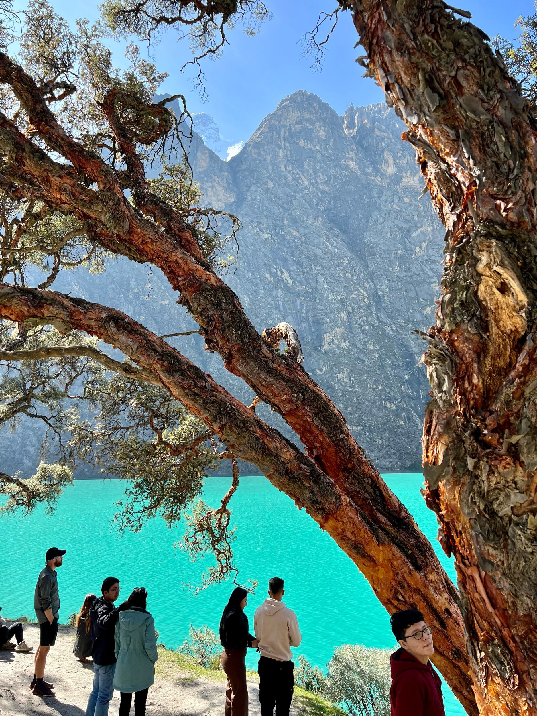
Our bus picked us up at the hostel at 4:45am and we finally left town with everyone around 5:30am. Laguna 69 is near Laguna Parón so the drive was around 2.5hrs each way. We stopped at a local farm about 1hr from the trail head for breakfast where they had pigs, cows, dogs and llamas!! We continued into the valley and stopped for some photos at a teaser lake called Laguna Llanganuco.

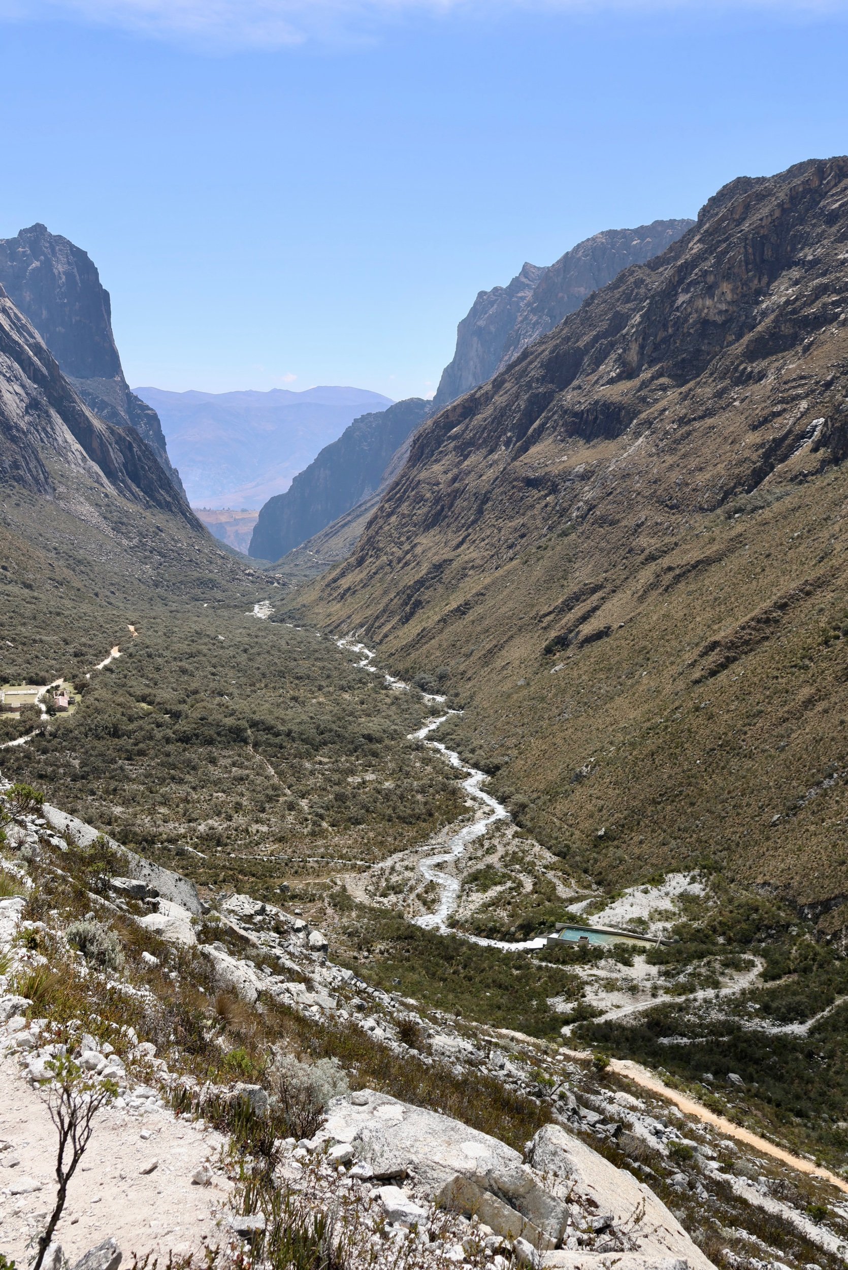
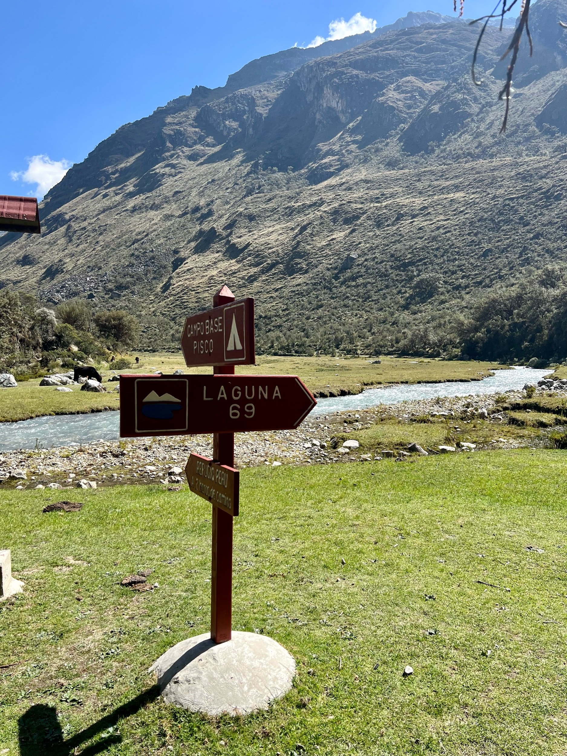
We finally get dropped off at the trailhead at 9:15am and are given 6hrs to be back at the bus or be left behind! The first mile is through a gorgeous mostly flat valley with a clear blue stream, grazing cattle, and huge peaks surrounding.
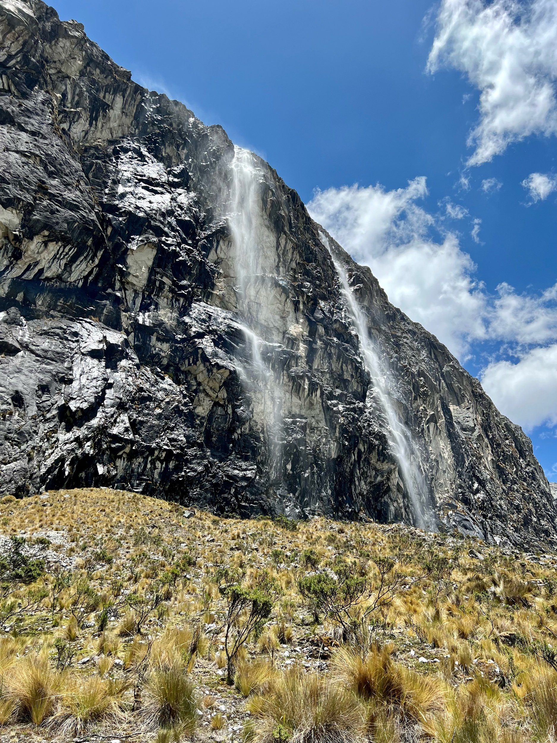
Mile 2-3 were up the side of one mountain with 2 sets of switchbacks and a steady include. There were several gorgeous waterfalls and you were able to see even more snow covered peaks appearing!
At the top of the 2nd set of switchbacks we completed mile 3 and found a small lake and a pasture! Mile 4 was half flat through this pasture at 14,400ft and then the “leg breaker” last 0.6mi. Susan had a few choice words for this last section. It was a final set of switchbacks and steep incline for 600ft to get to our destination, Laguna 69!
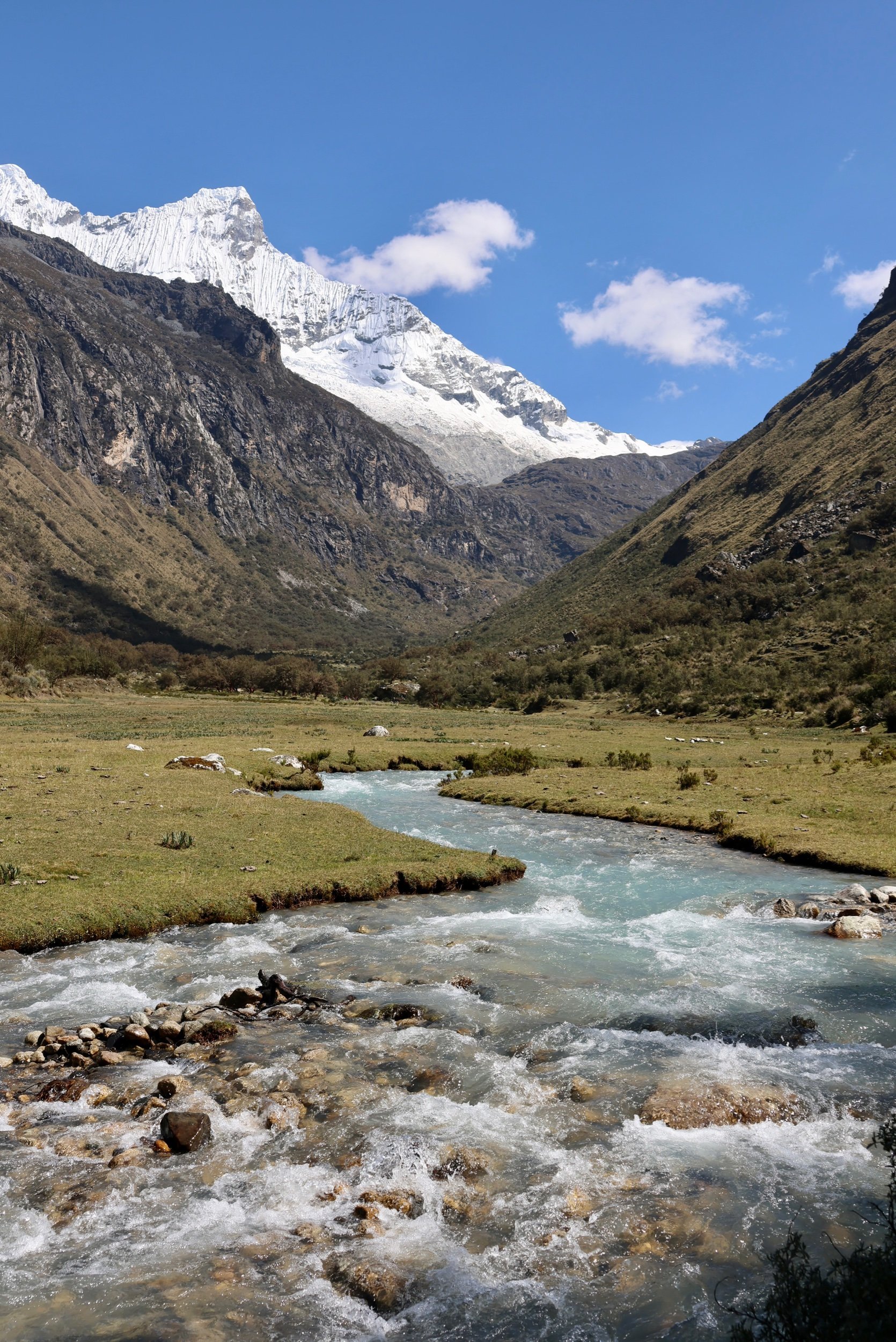

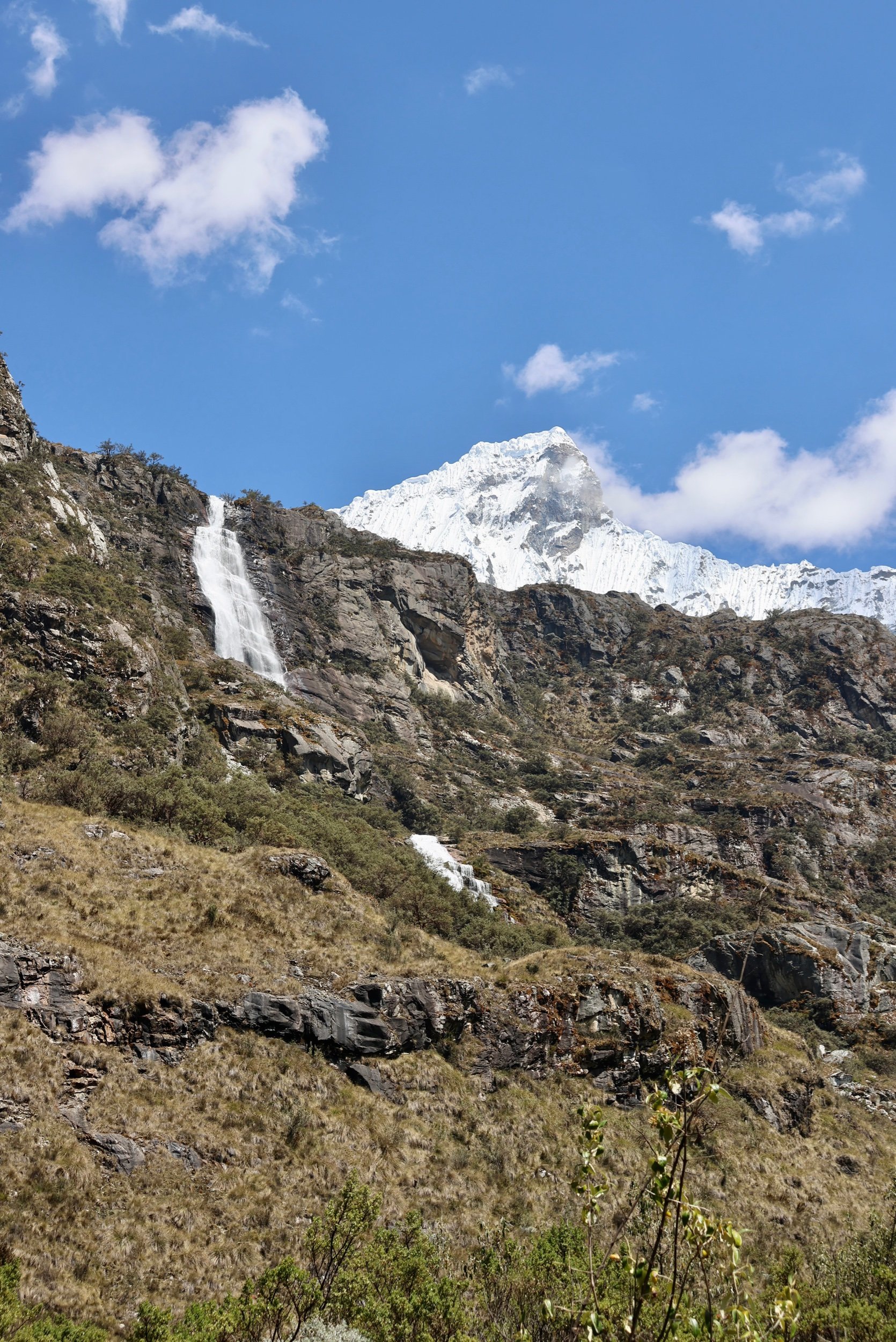
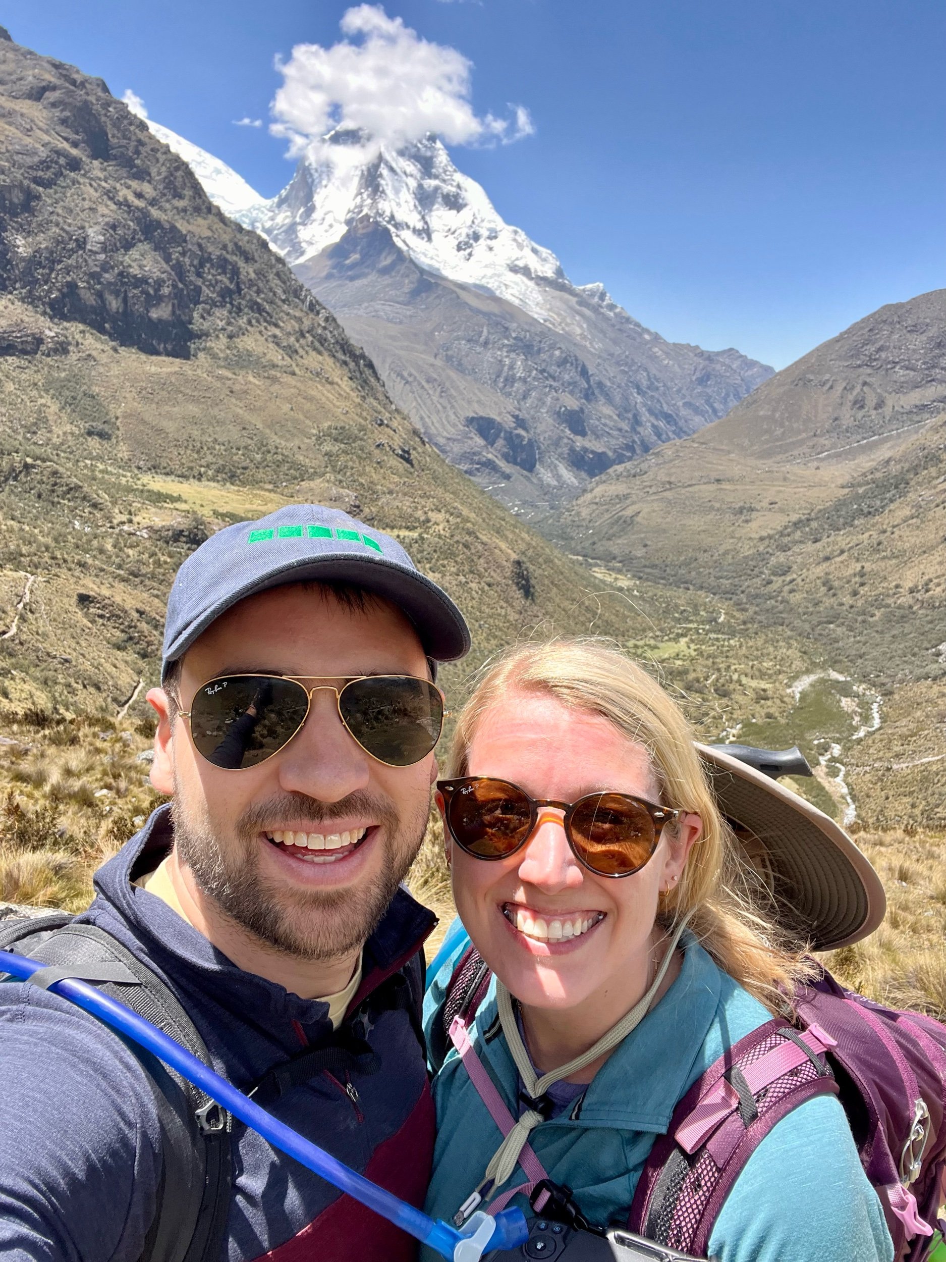

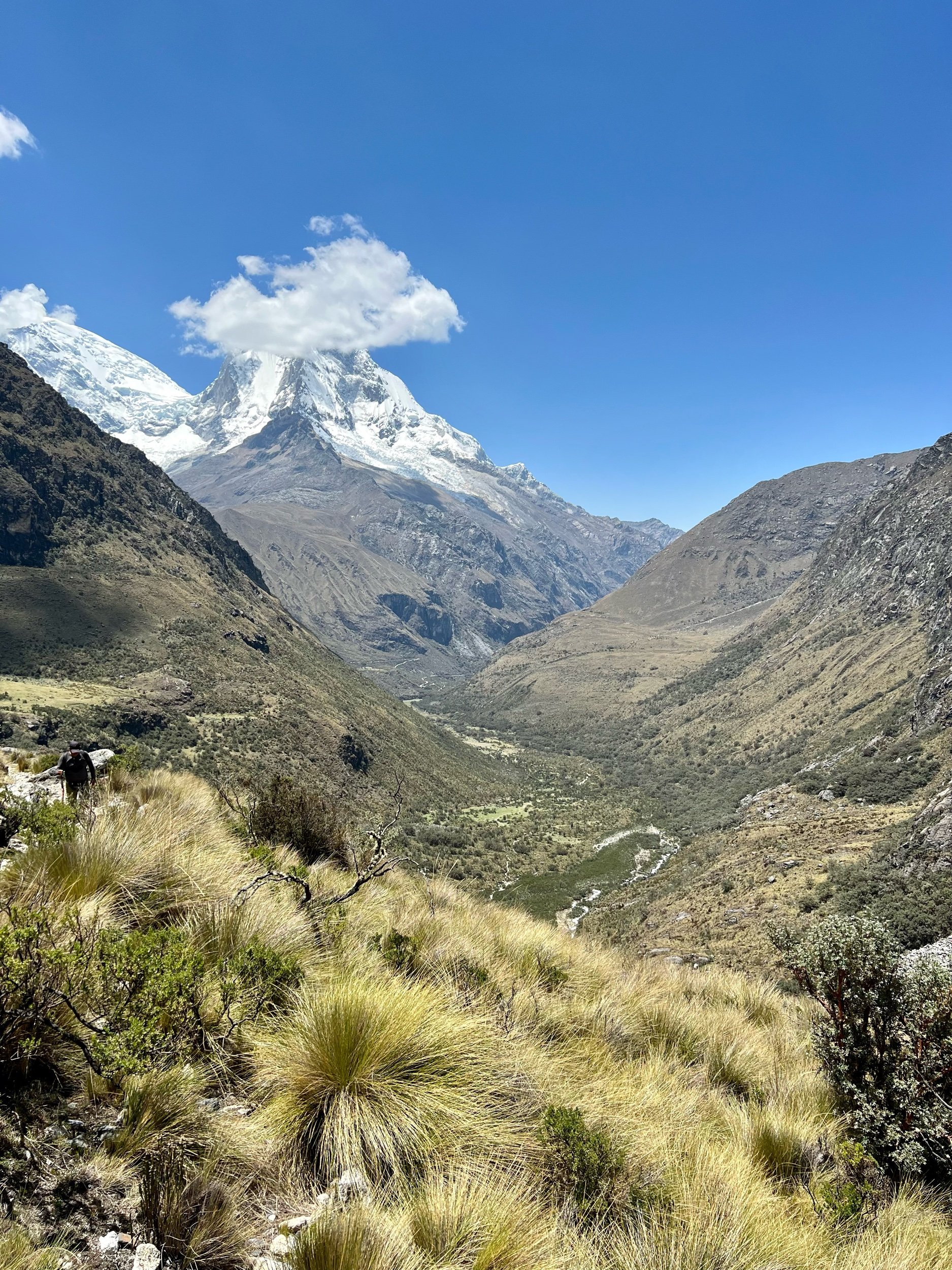
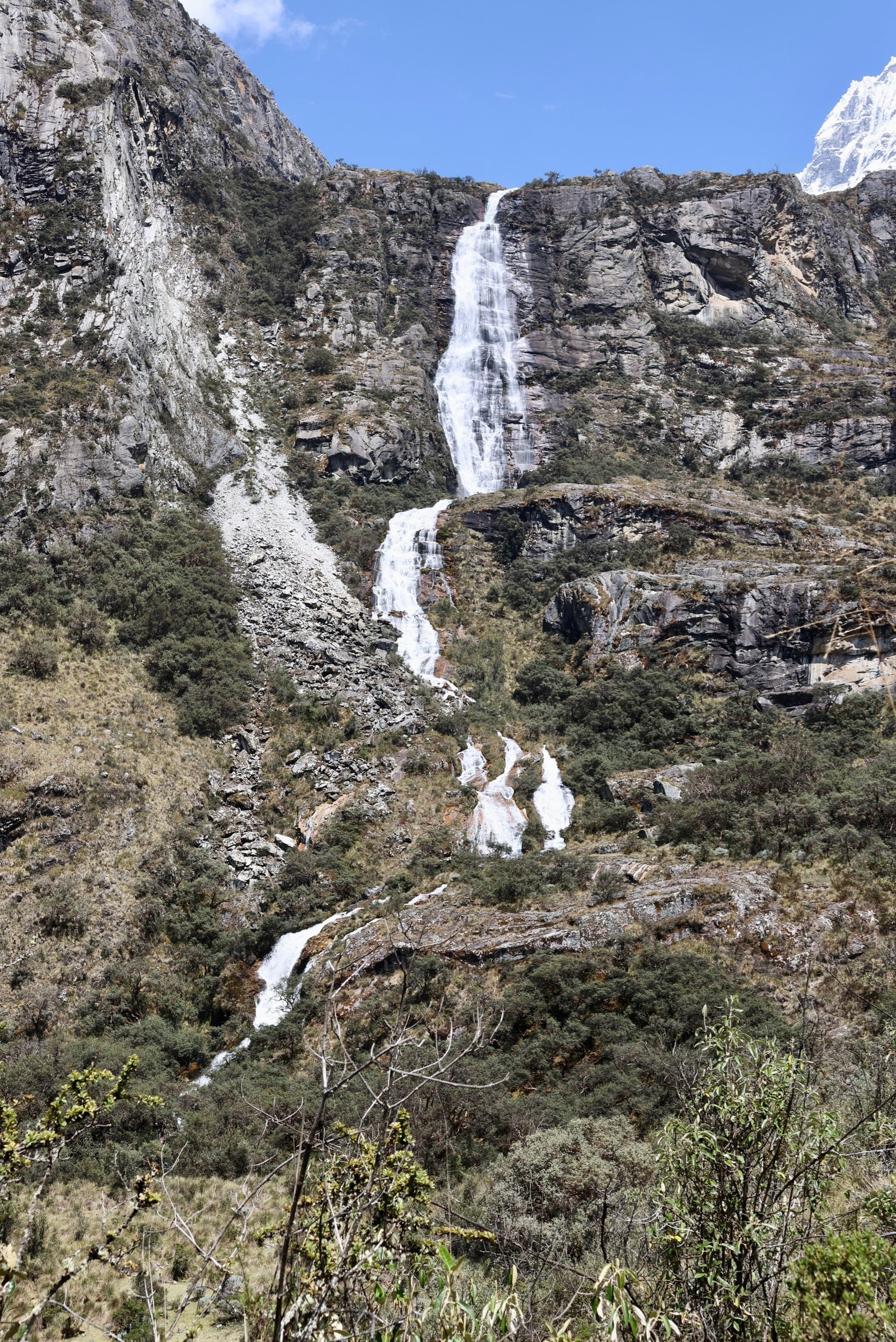
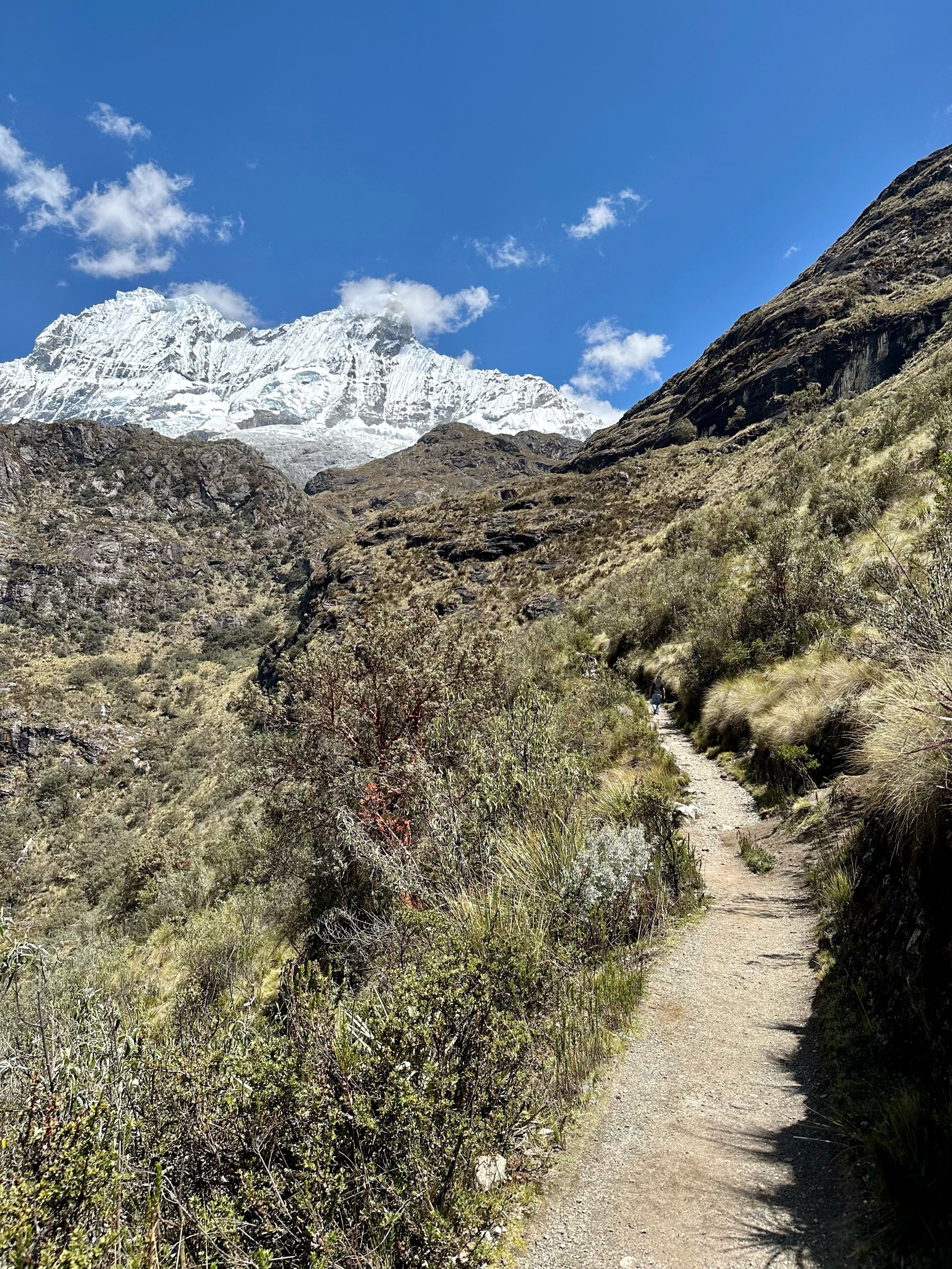

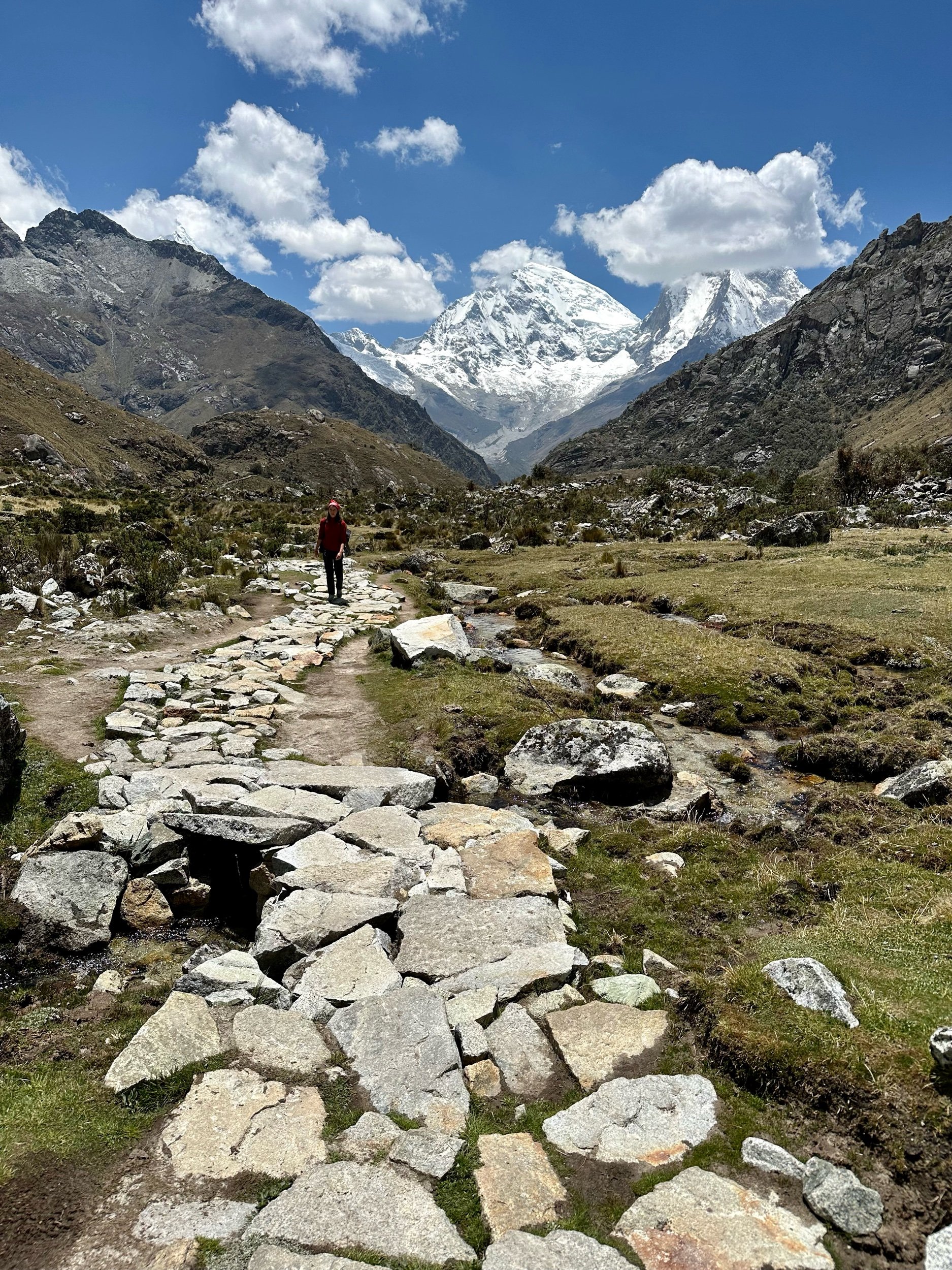

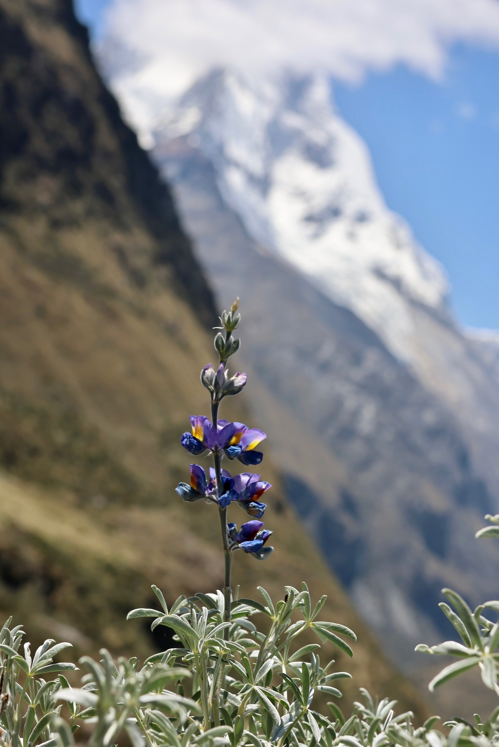
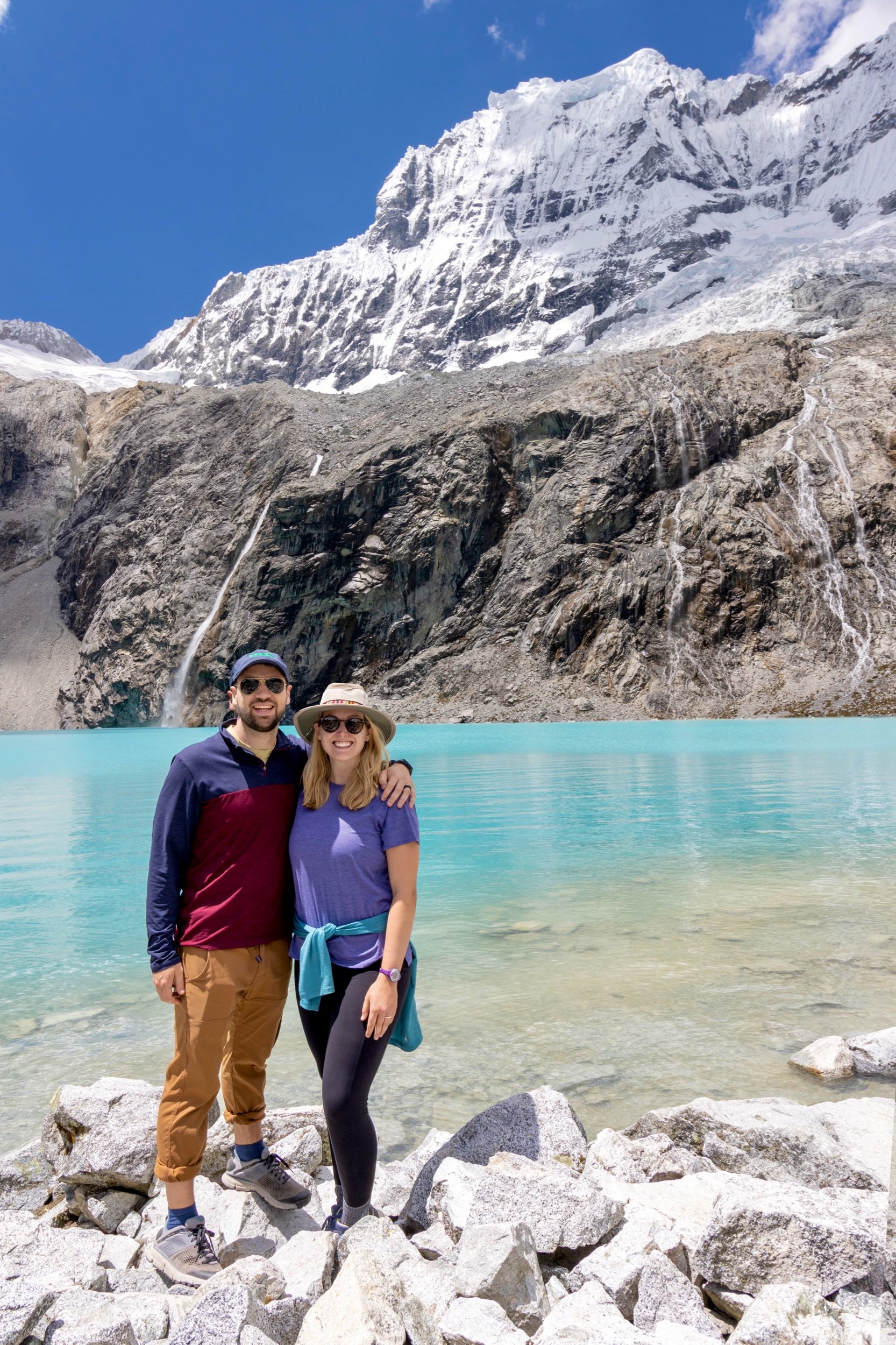
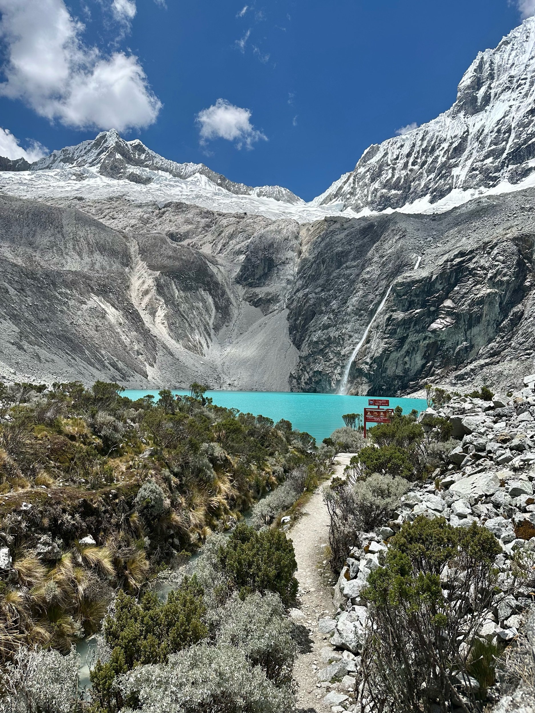
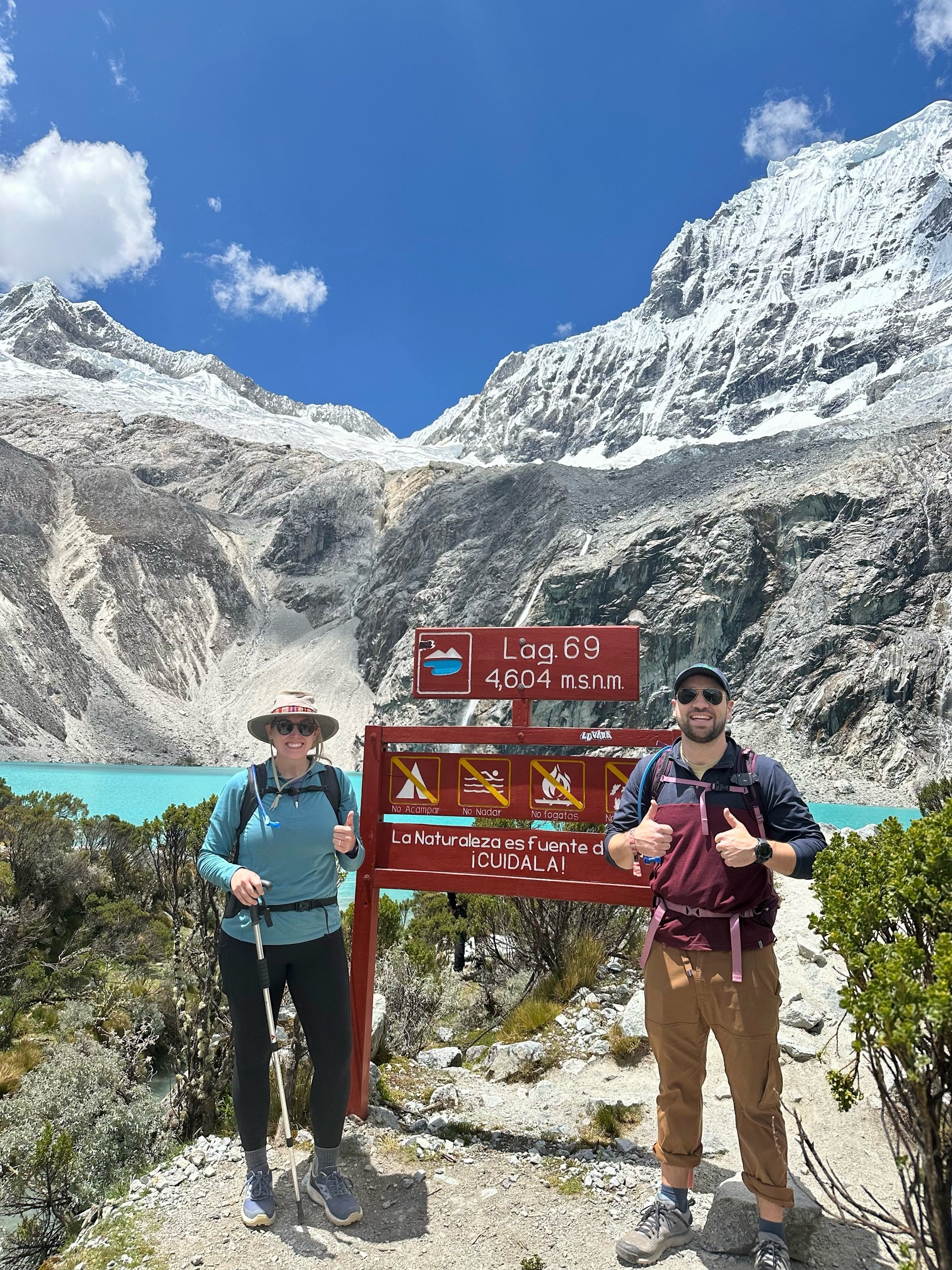
Laguna 69 was spectacular! A stunning blue color with jarring snowy peaks behind! Absolutely gorgeous! We made it up in 3.5hrs (right on pace) and enjoyed 30min of rest, food, and views. Matt was the champion of this hike with his frustrating natural athleticism to help coax Susan to keep putting one foot in front of the other. Together we did it! And tomorrow starts Susan’s cardio regime for our Machu Picchu trek in 10 days lol.
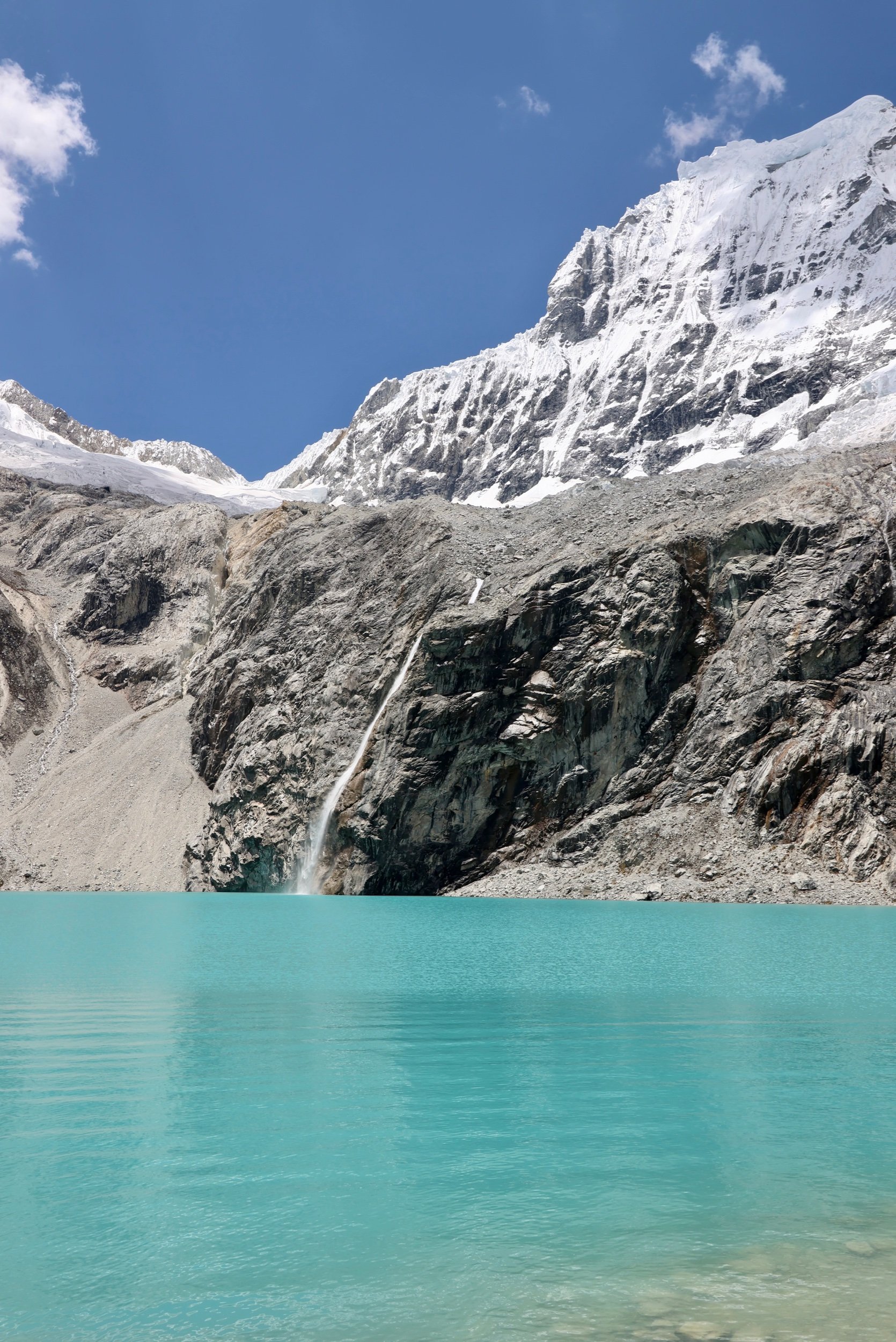
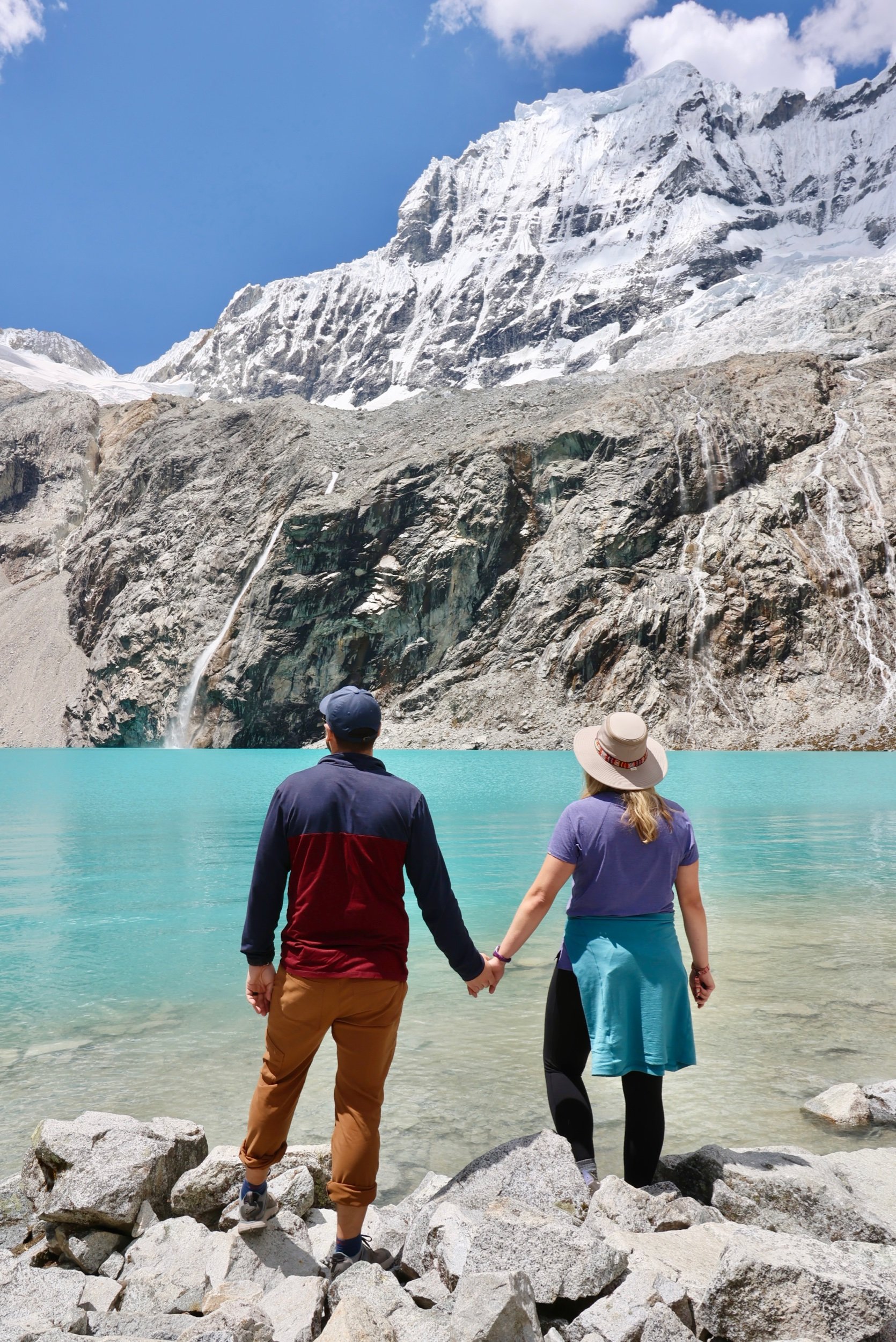
The 2hr hike down was not difficult but not easy since there were lots of rocks and steep declines. We lost our unseasonably beautiful sunny day on the way down and got overcast clouds, some snow flakes, and a little rain at the end. They said to prepare for all types of weather!
Everyone talks about the lake, but honestly the hike was just as awe inspiring. It was one of the best hikes we have ever done! Neither of us have ever seen similar scenery. The top non-lake section felt like Iceland with the vegetation and streams, the middle valley was a mix of New Zealand and Alps but with 20,000ft mountains around us. And the start of the trail was straight out of a fairytale with the trickling stream, free range cows, chirping birds. We are so glad we did this hike, so glad we were able to complete this hike (several did not make it to the lake), so so glad for the beautiful weather. We drove the 2.5hrs back home and celebrated our day at Trivilo with a huge hamburger and a beer!
