New Zealand’s South Island, Part 1: Abel Tasman and the West Coast
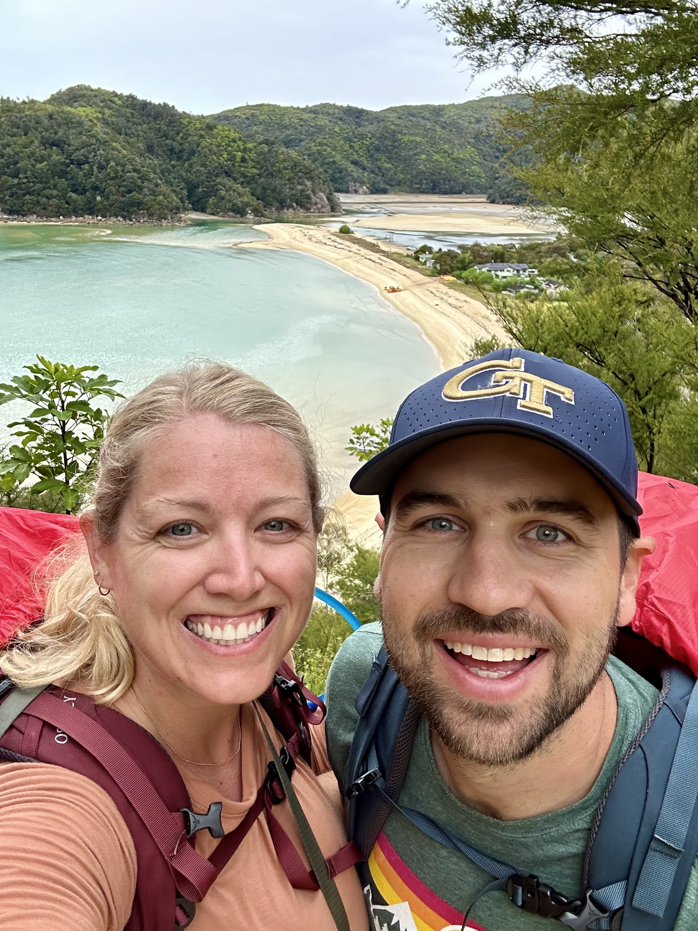
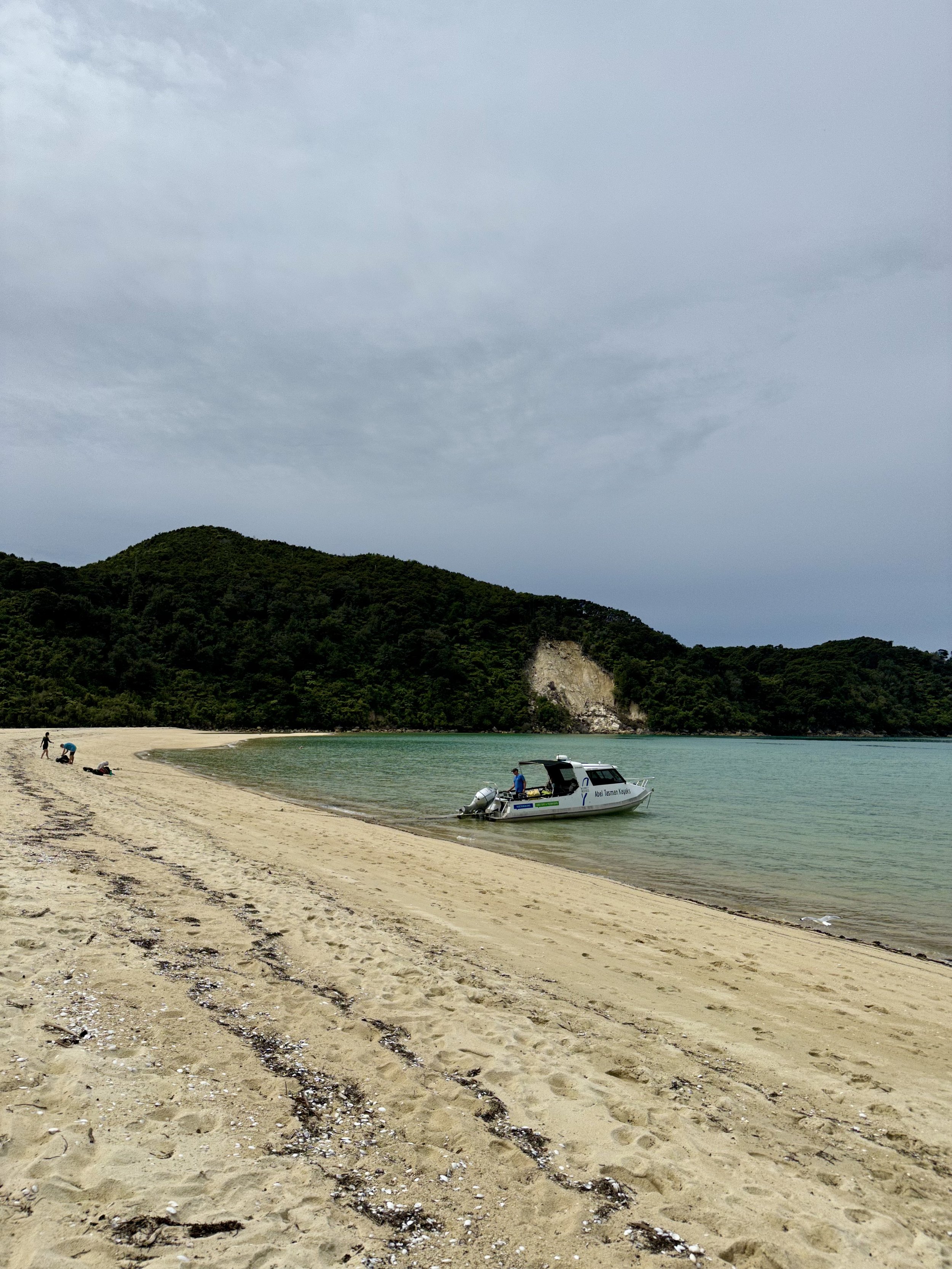
Abel Tasman is a gorgeous national park on the north coast of the South Island. It has amazing hiking and kayaking and is considered one of the 10 NZ Great Hikes! We chose to do the 2 day kayak & hike option.
Our first day, we picked up our double kayak and headed out from Mārahau. We kayaked north up the coast and then circled Adele Island. Adele Island has a seal colony, including some seal pups right now! It also is a bird sanctuary after they cleared it of all “pests” in 2006. The island was alive with bird songs and so beautiful to paddle around! We then headed north and entered the Mad Mile, a very difficult section of kayaking with large waves and headwinds. Despite the calm seas in the bay, the Mad Mile lived up to its name.
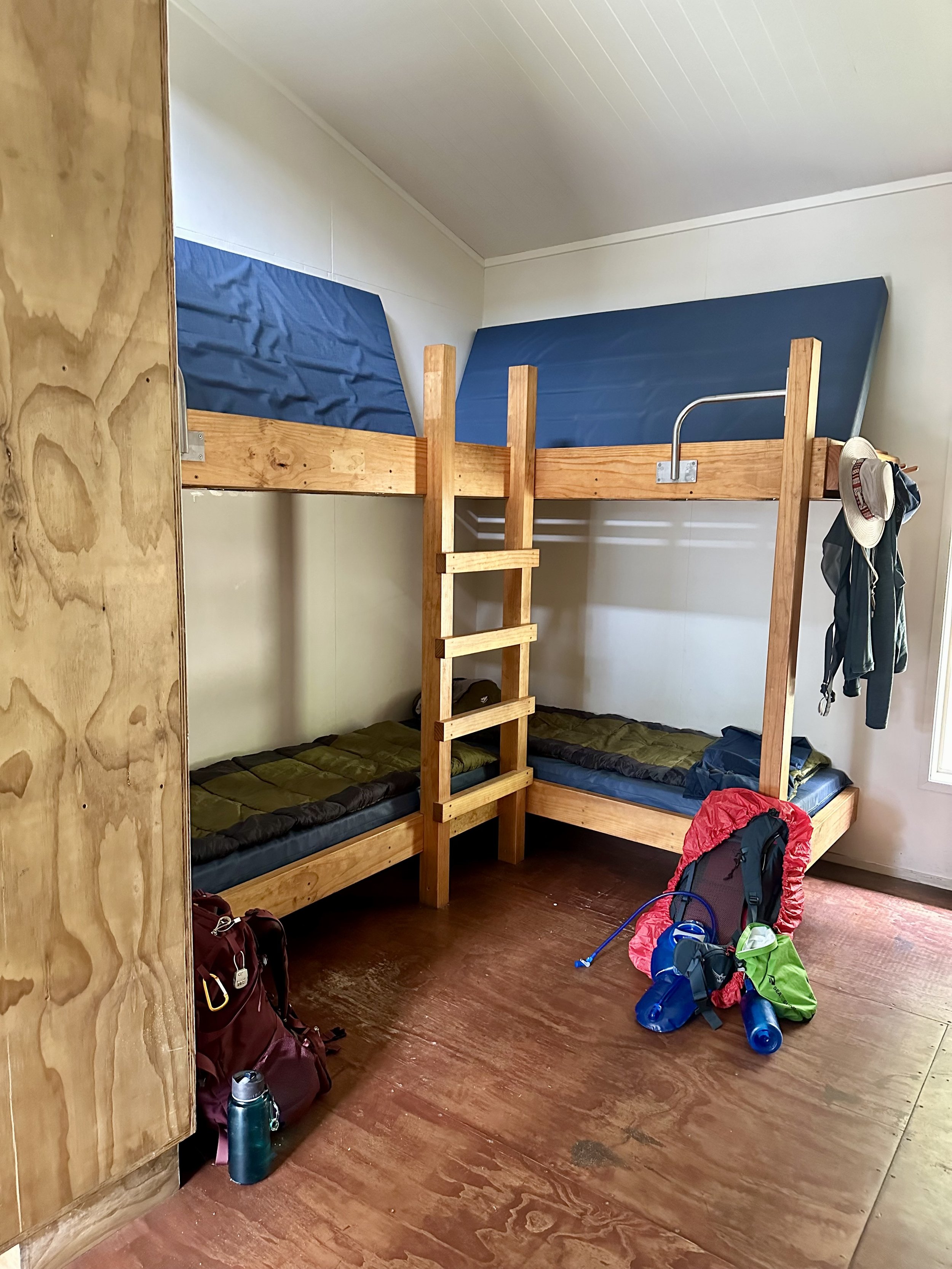
After some frustration and hard paddling, we made it into Anchorage Bay and came ashore on Anchorage Beach. We found our bunks at Anchorage Hut and settled in for the night. Our bunk mates included a couple from NYC doing a 6 month honeymoon and just finished 3 months in SE Asia! We chatted with them all night about our similar life paths and getting recs for SE Asia!
Just after dinner, while chatting, we experienced our 2nd earthquake of the trip… a 6.0 magnitude earthquake 100km away in the Cook Strait. Fortunately it was pretty deep (53km) so what we felt was moderate/strong. A really helpful Kiwi came over to check on everyone and assured us we didn’t need to go to the Tsunami meeting point. We learned the phrase “if it’s Long and Strong, Get Gone”. Needless to say, we were a little shook up, no pun intended. We both had a pretty sleepless night despite being exhausted from our 5 hour sea kayak paddling.

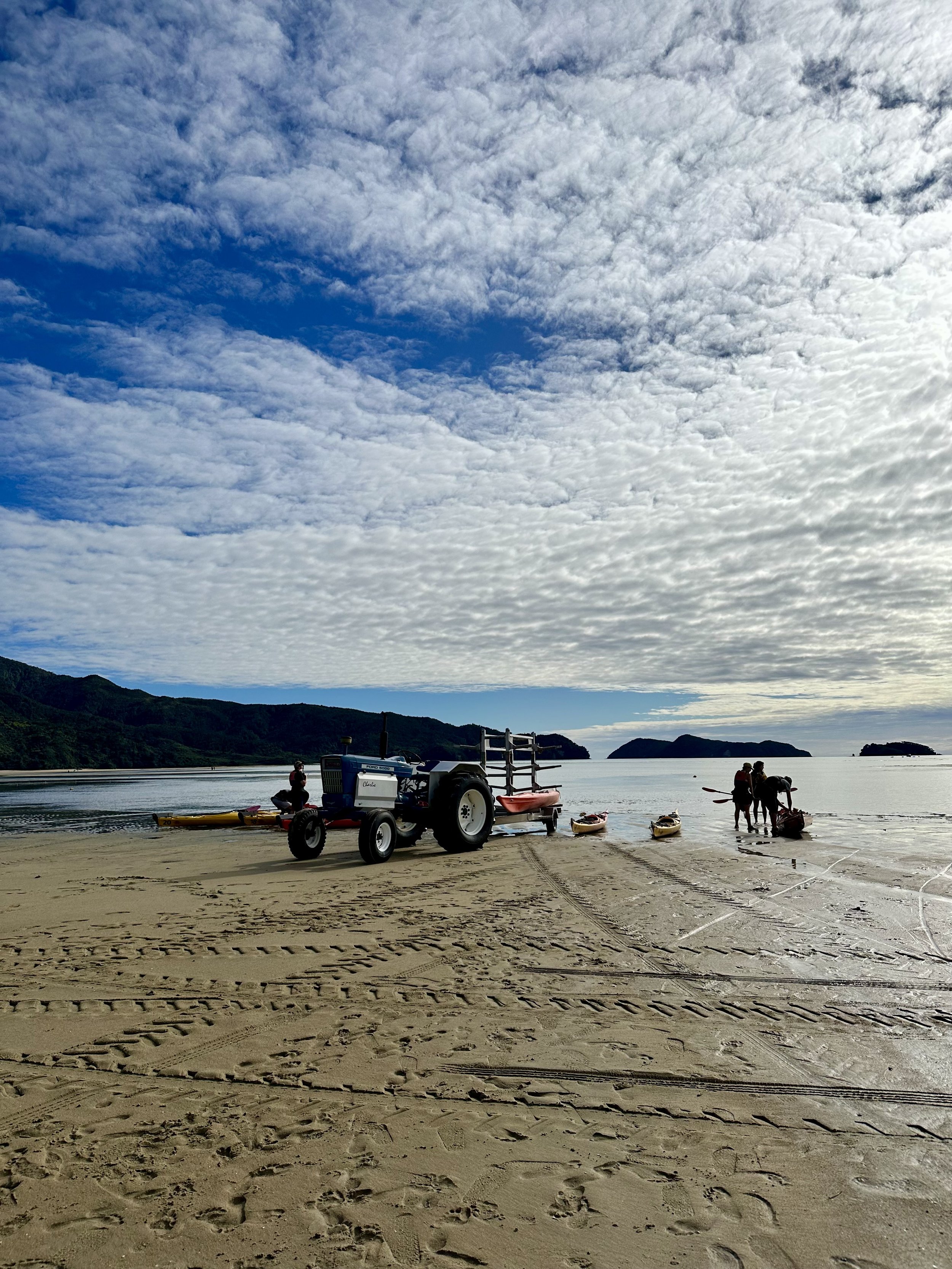
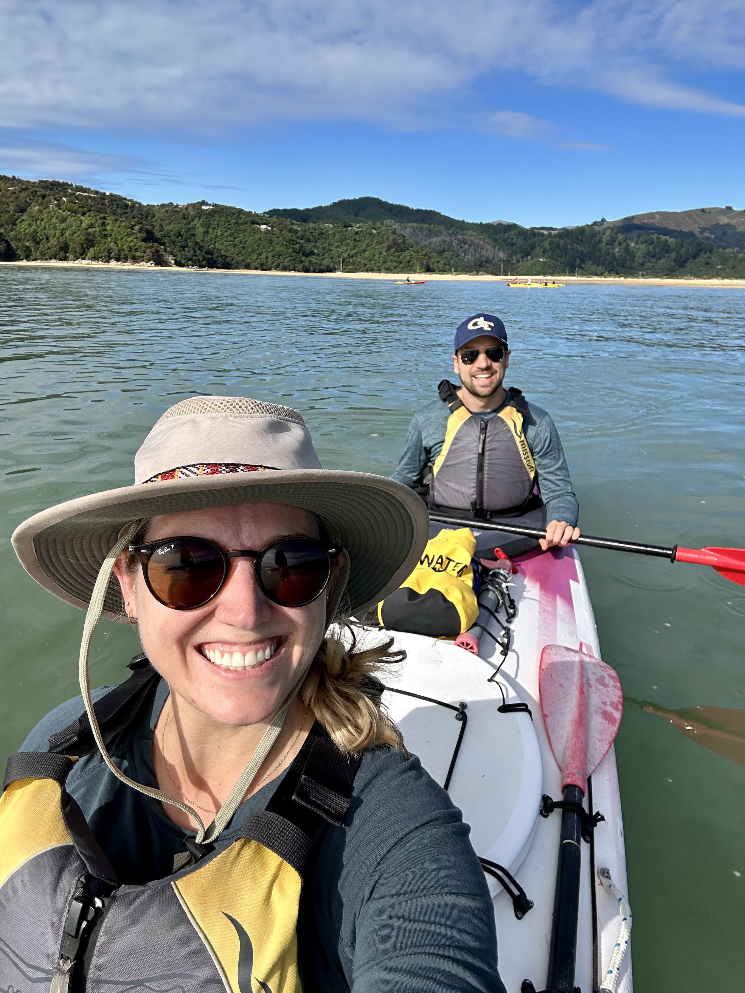
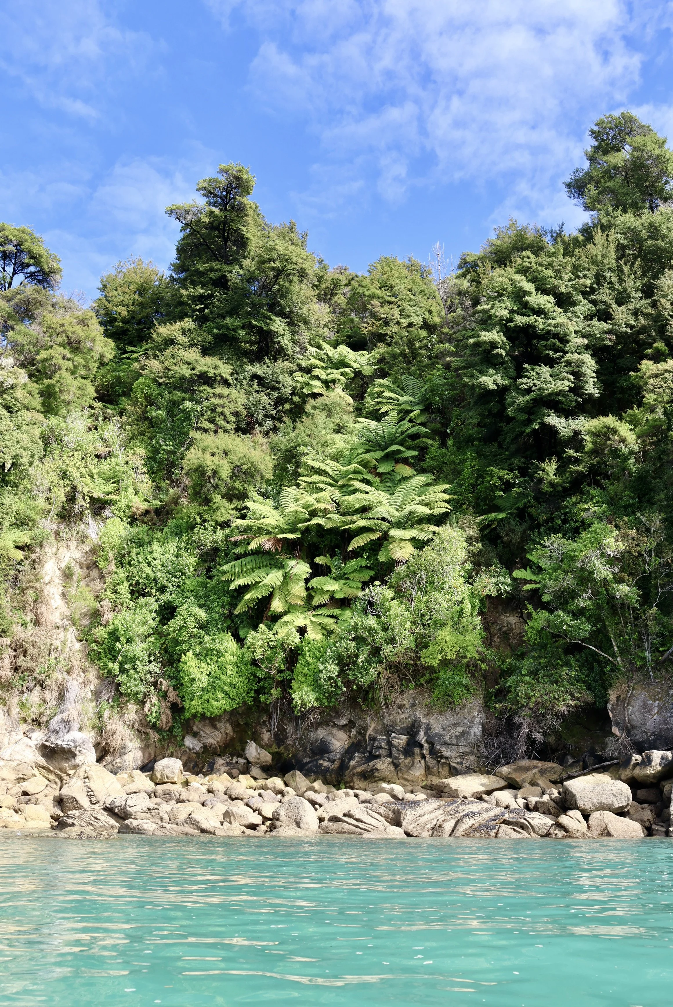


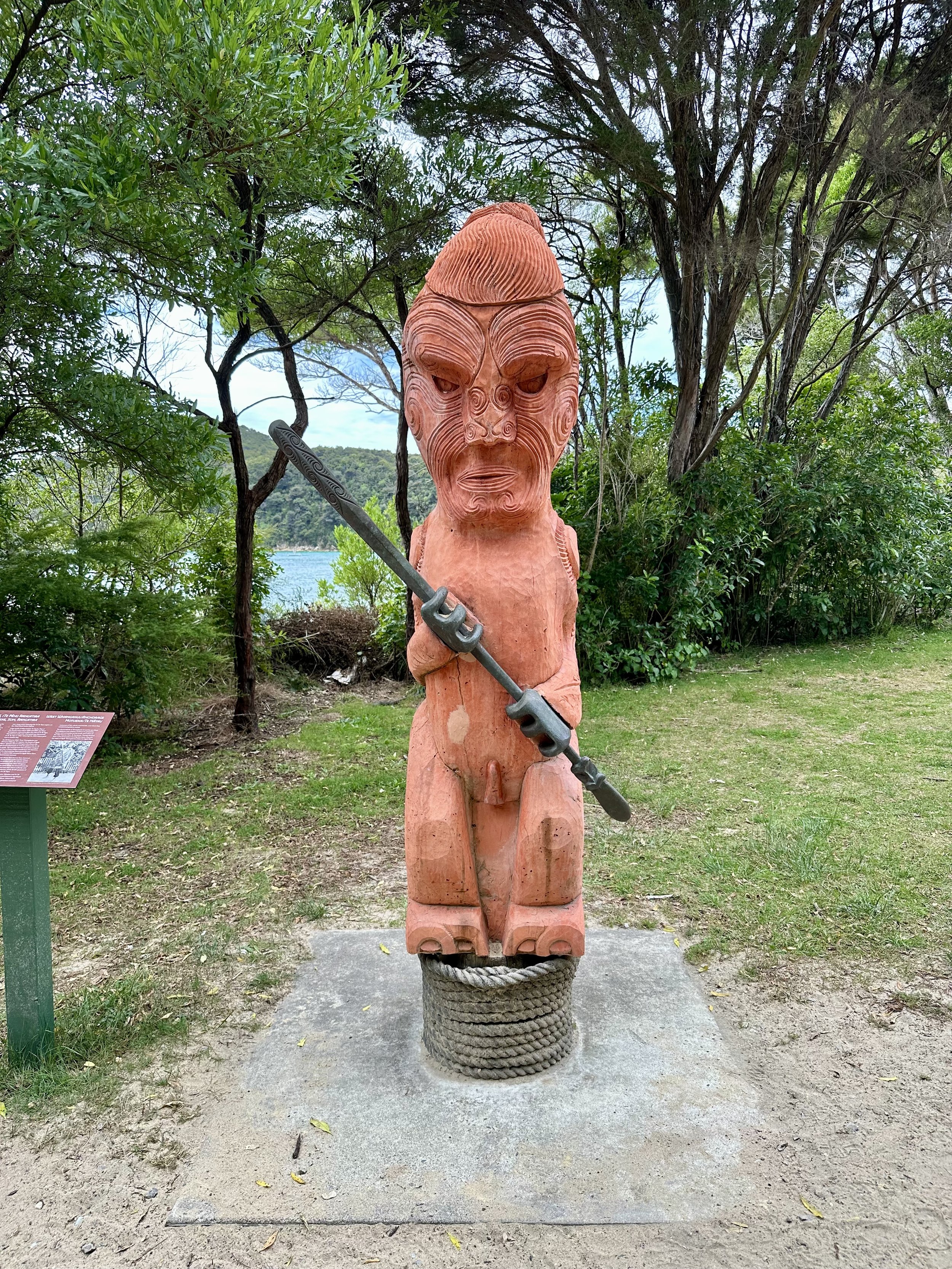
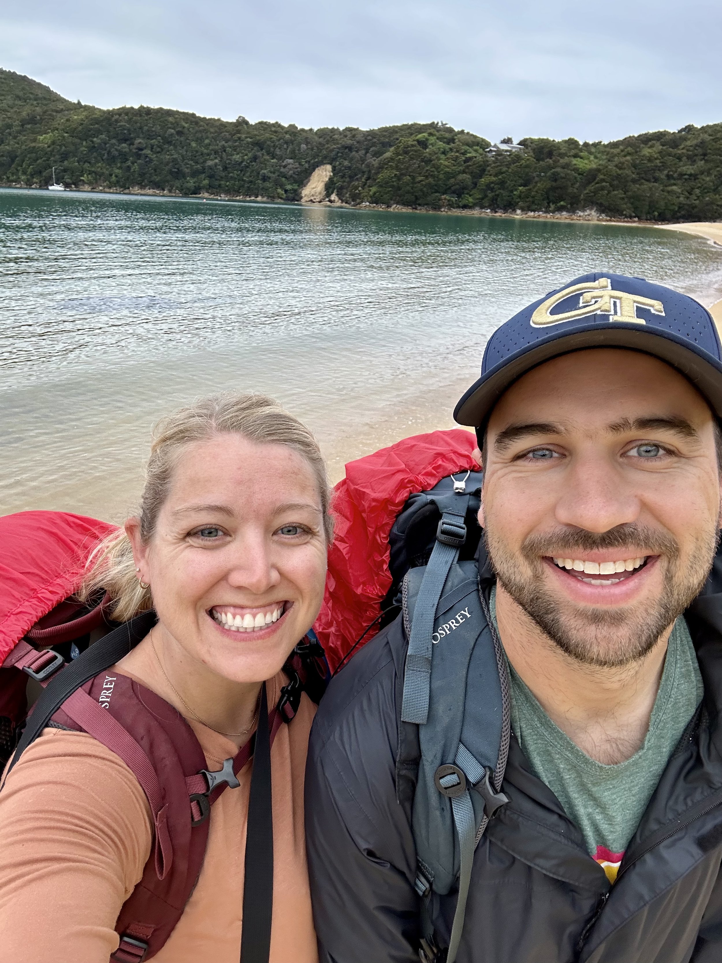
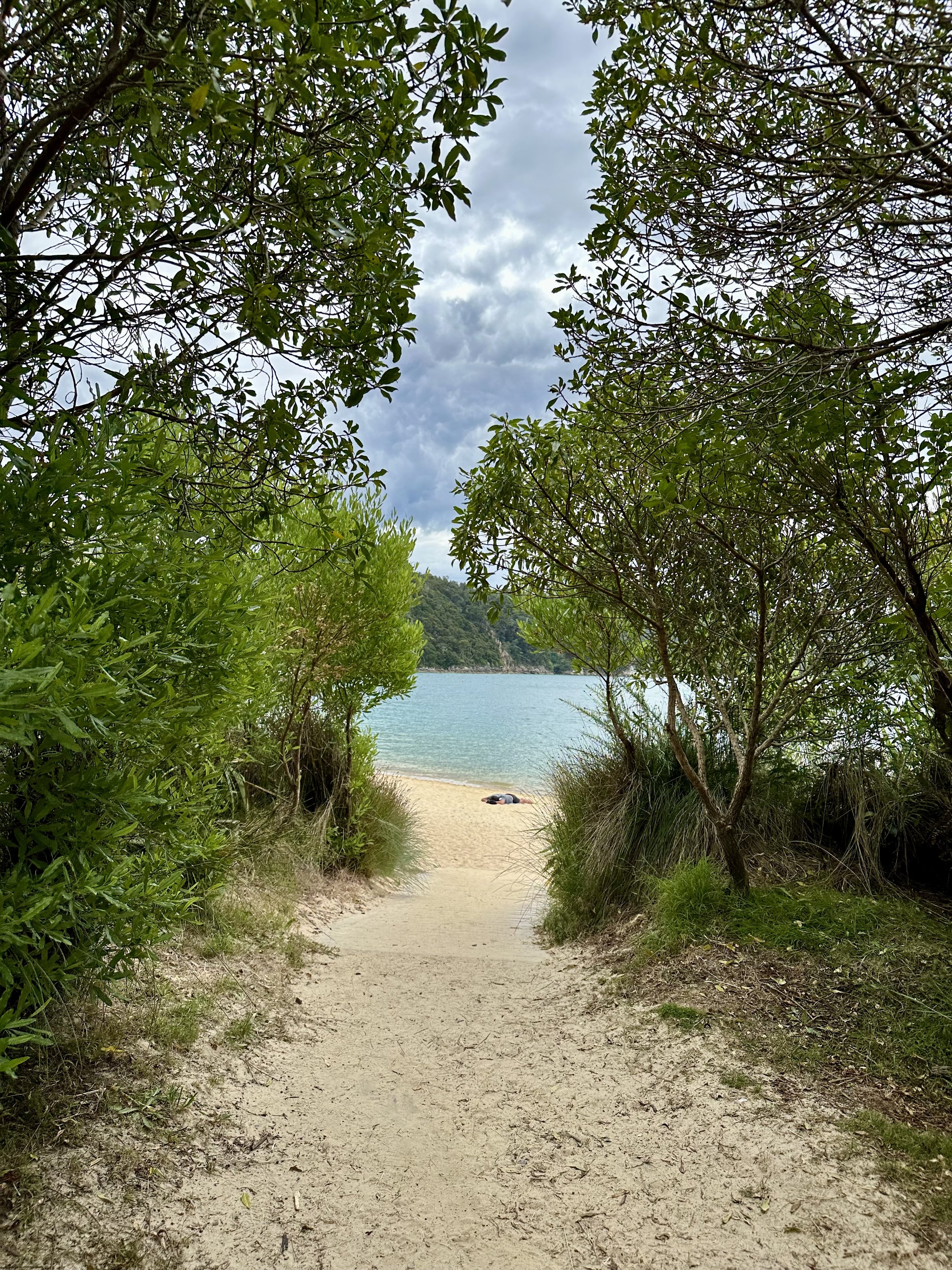
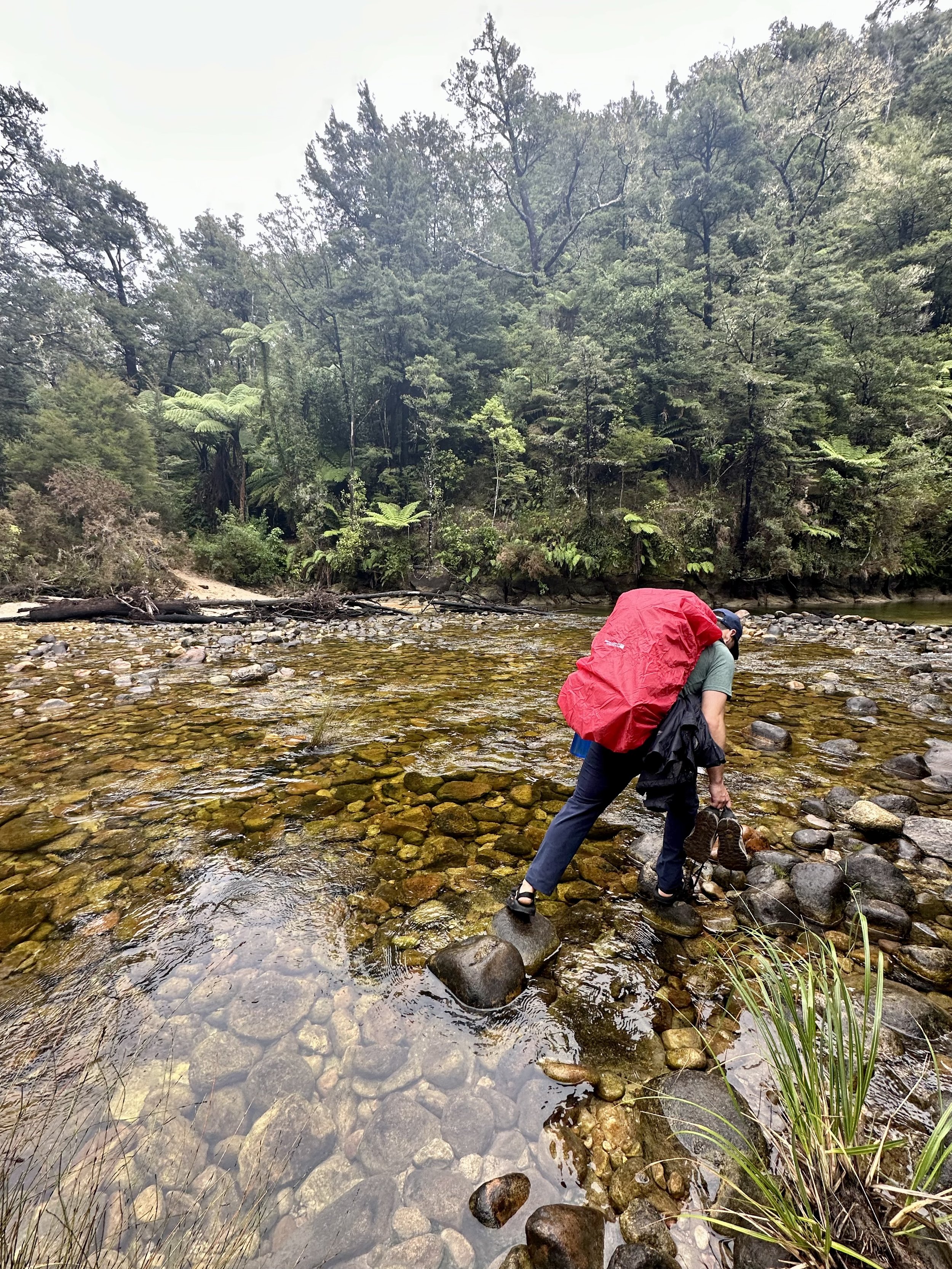
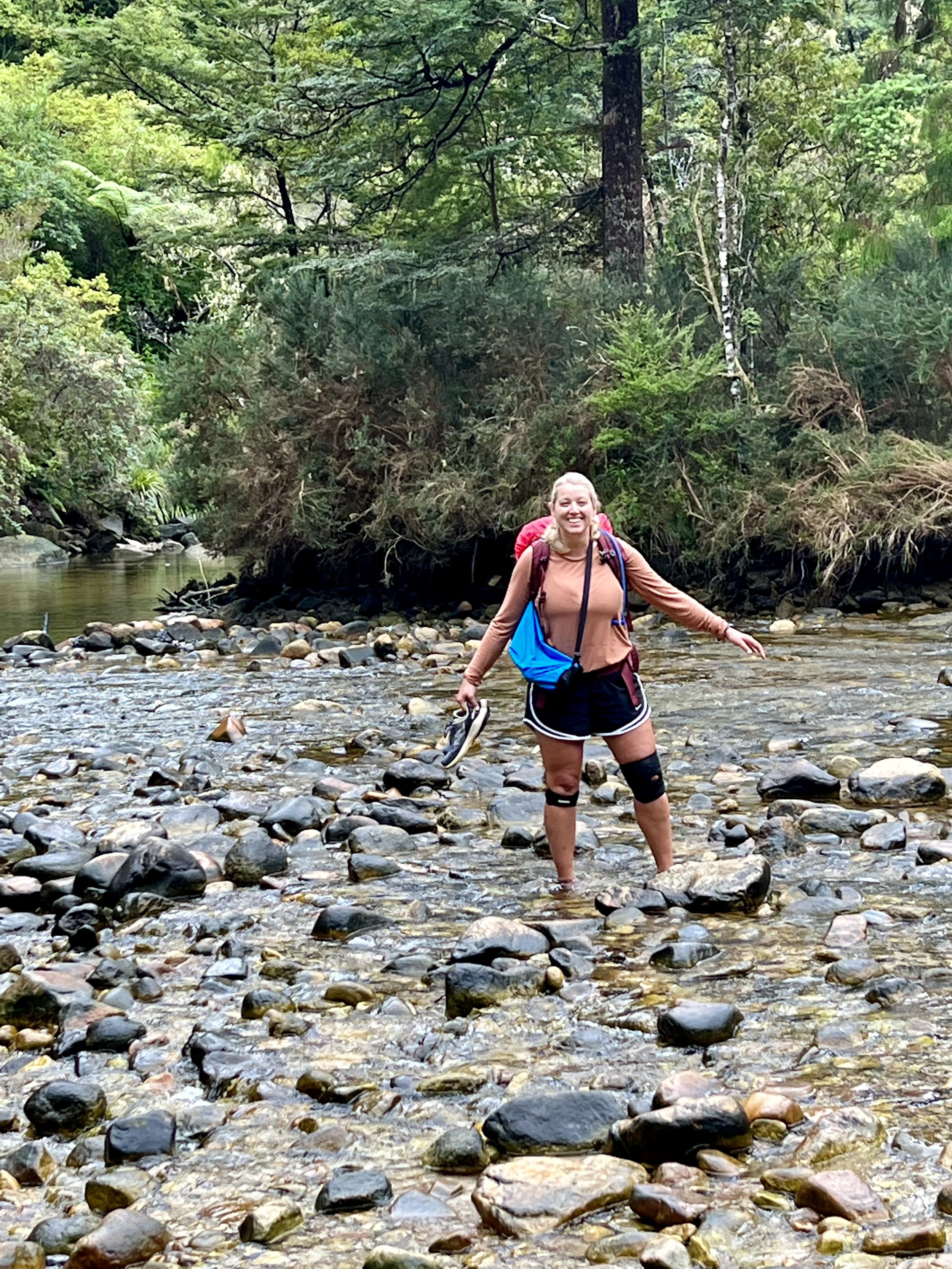
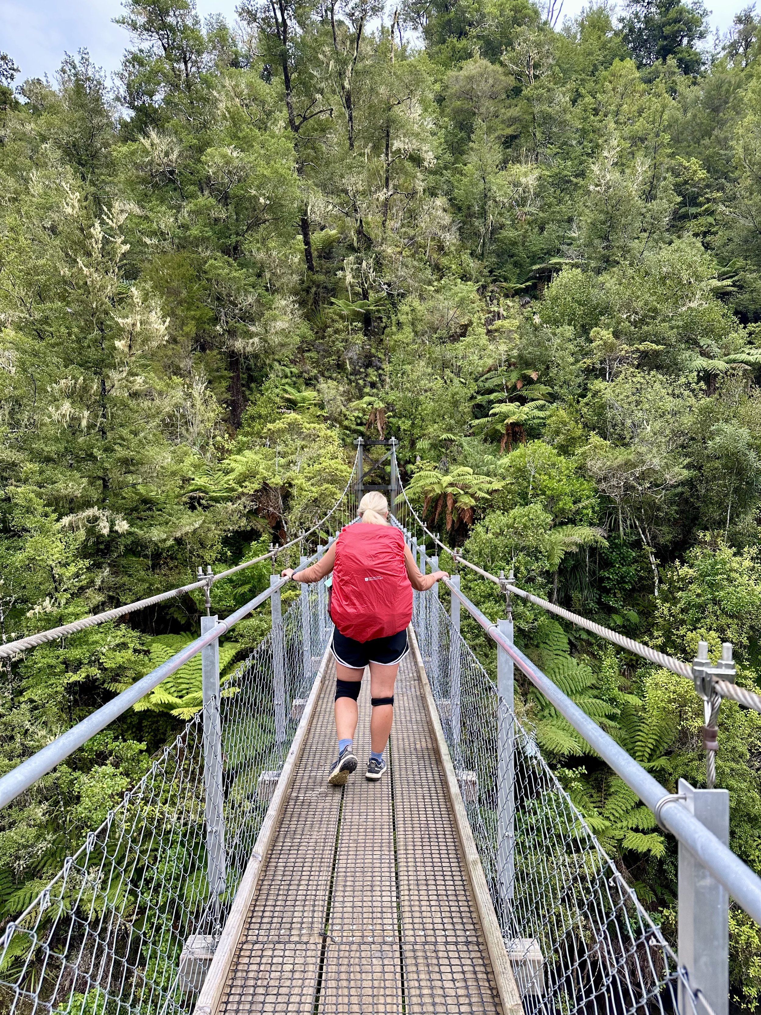
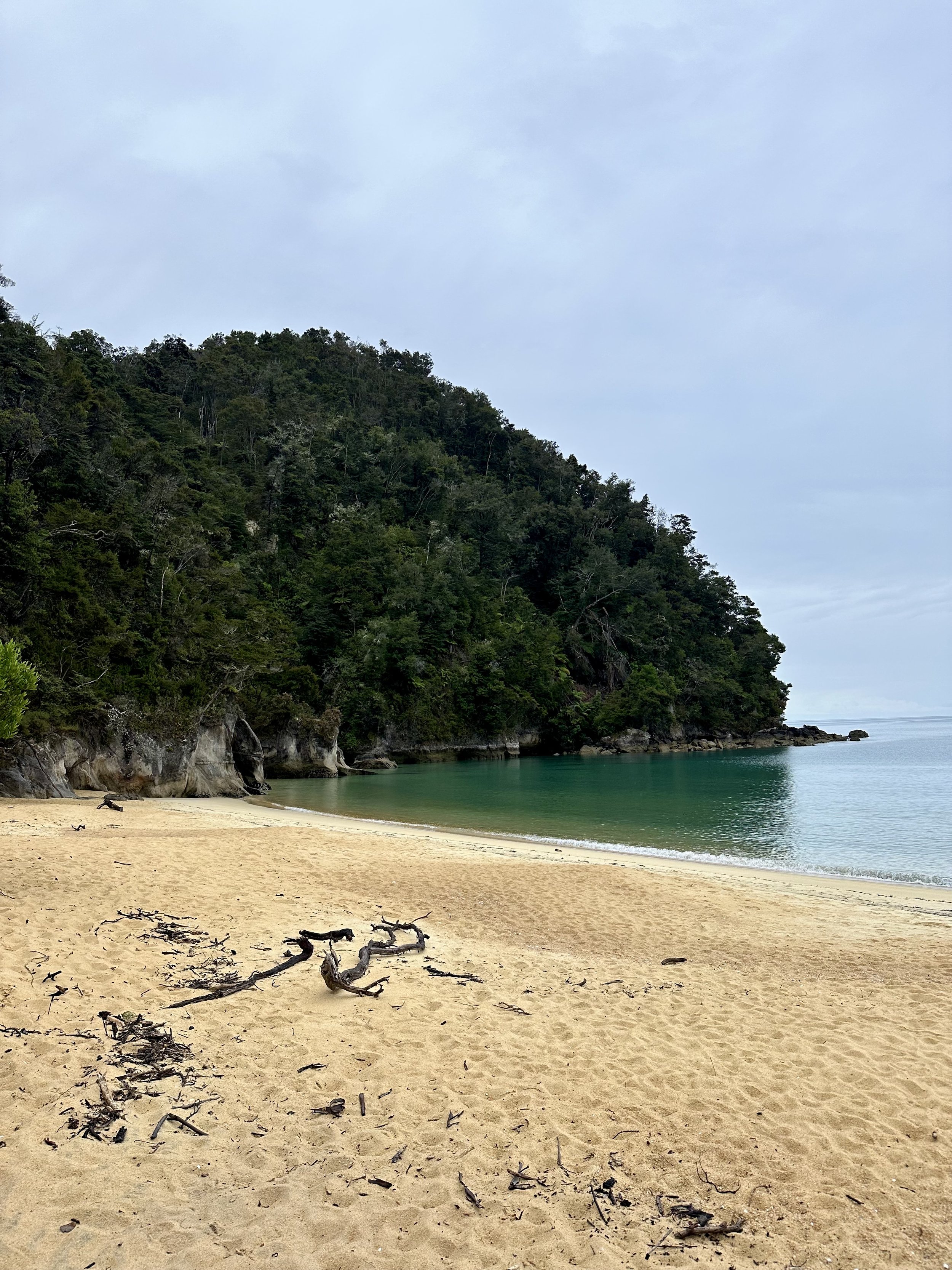
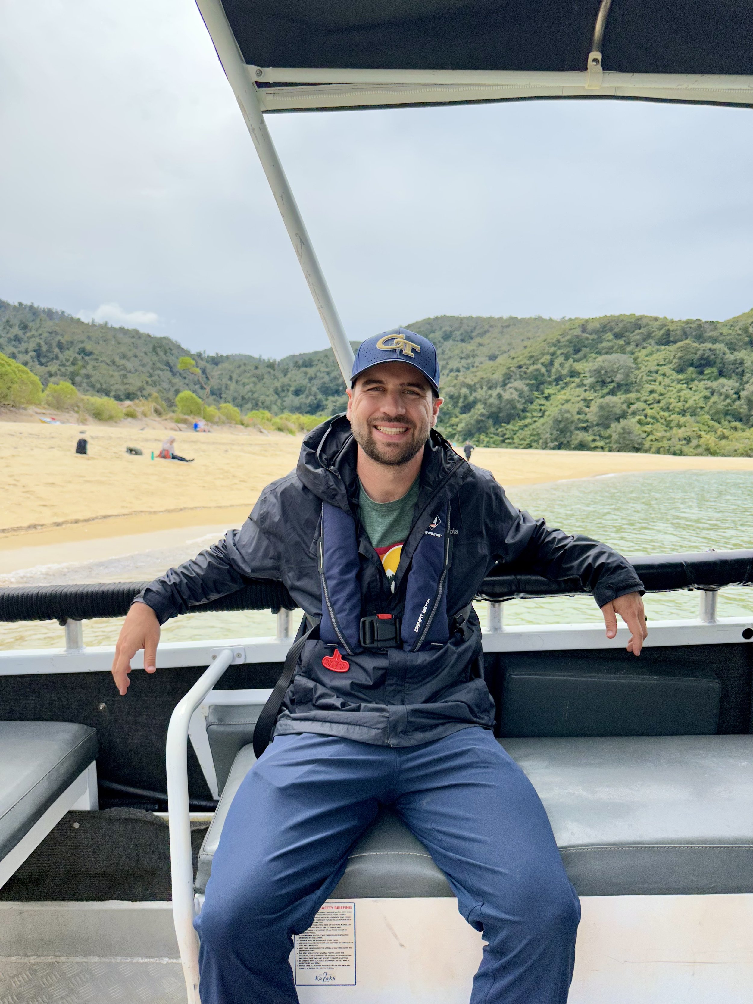
We woke up to a rainy and cloudy day 2, packed up our 50L bags and began a 7 mile hike to Bark Bay. This hike was through some thick sub-tropical forests and up and down rolling hills. We also had to take the longer high tide route, which required crossing a river (due to a bridge being down from a recent landslide). It was a really nice walk with some great views of the water, however we were pretty tired. We were actually supposed to hike 10 miles to Onetahuti Bay but we listened to our bodies and cut the hike short after 7 miles. We spent the afternoon before the water taxi home napping on the beach!
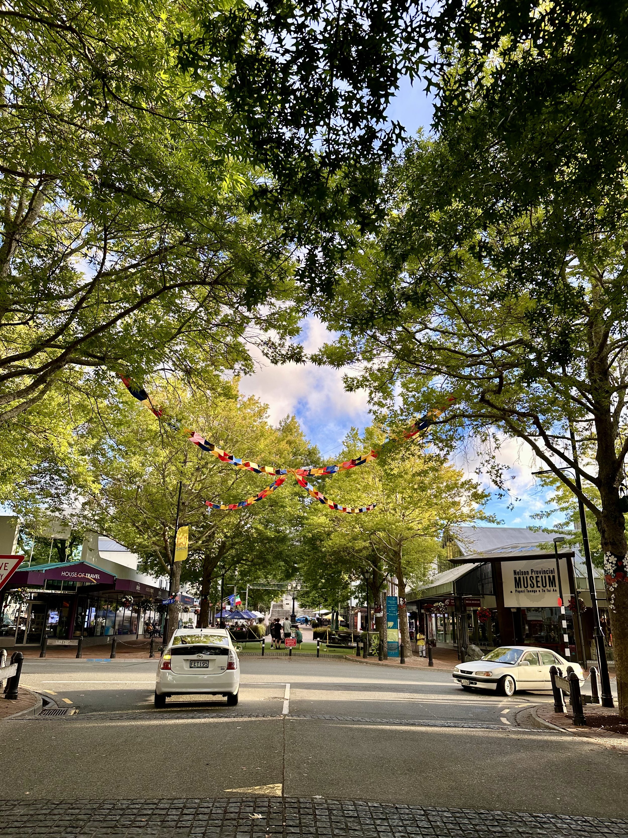
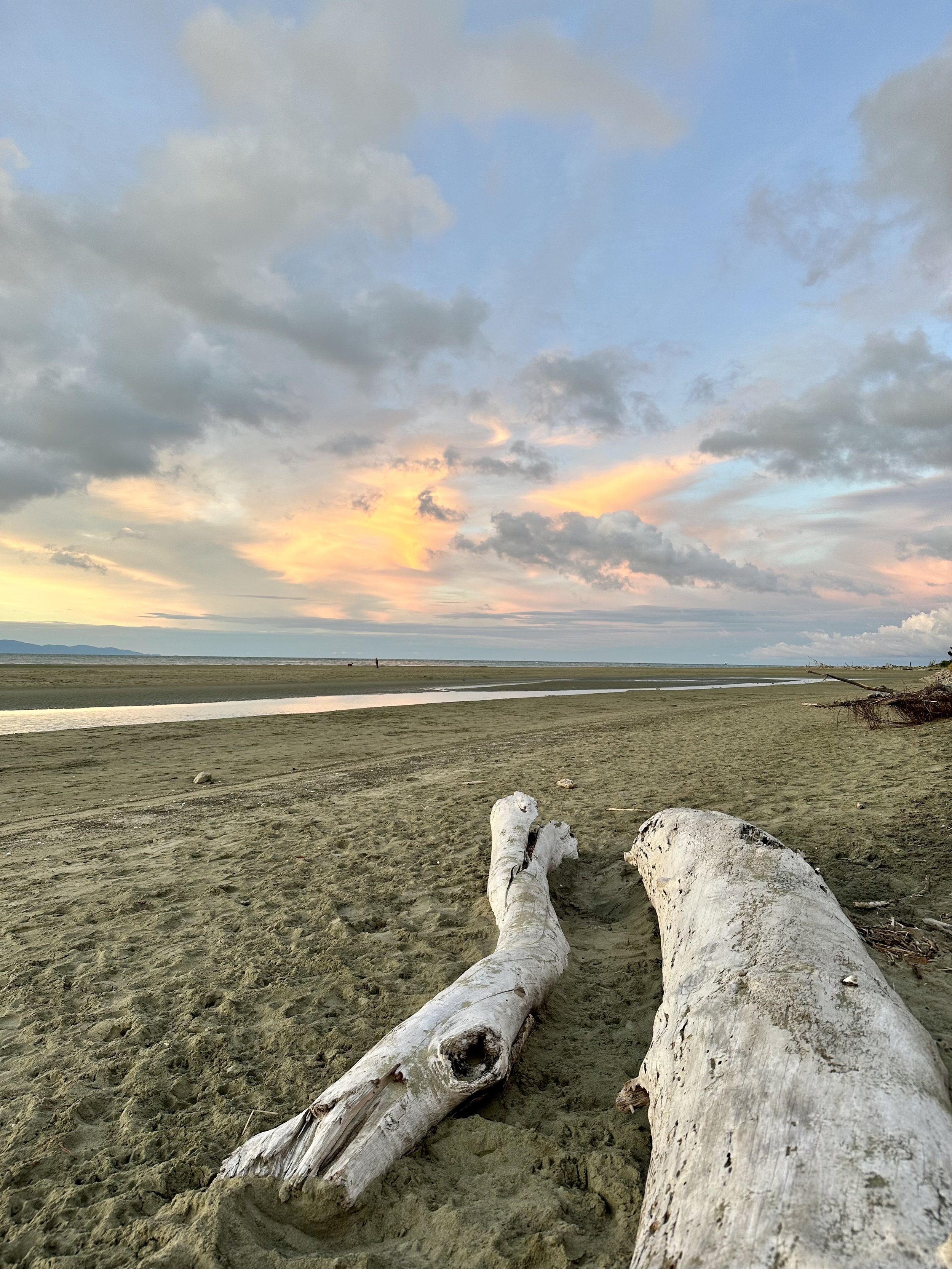
Once we were back on shore, we got cleaned up and treated ourselves to a nice night out in Nelson for some good food & drinks. We ended the night at Tahuna Beach Holiday Park, which had a phenomenal sunset view over the bay!






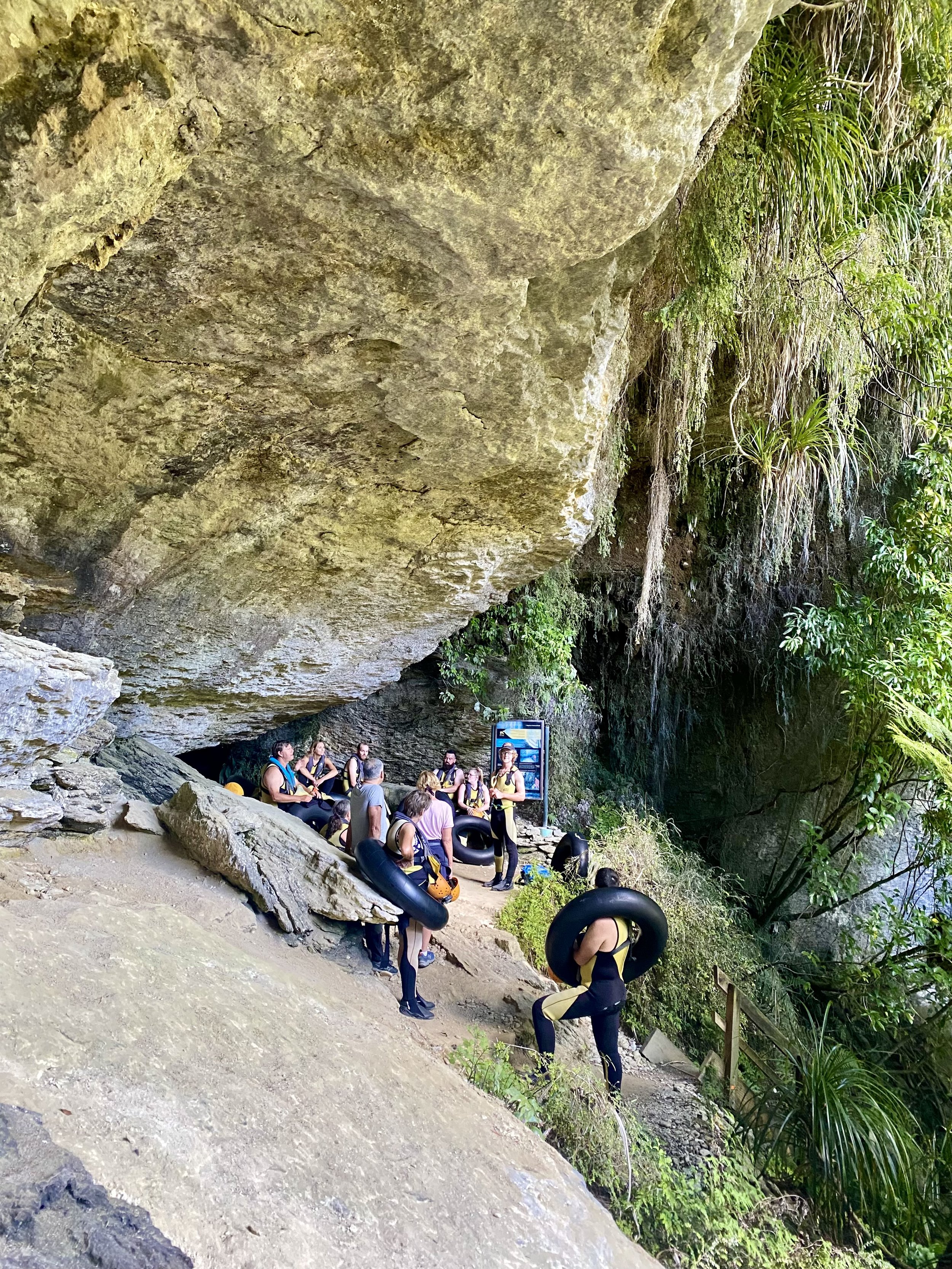
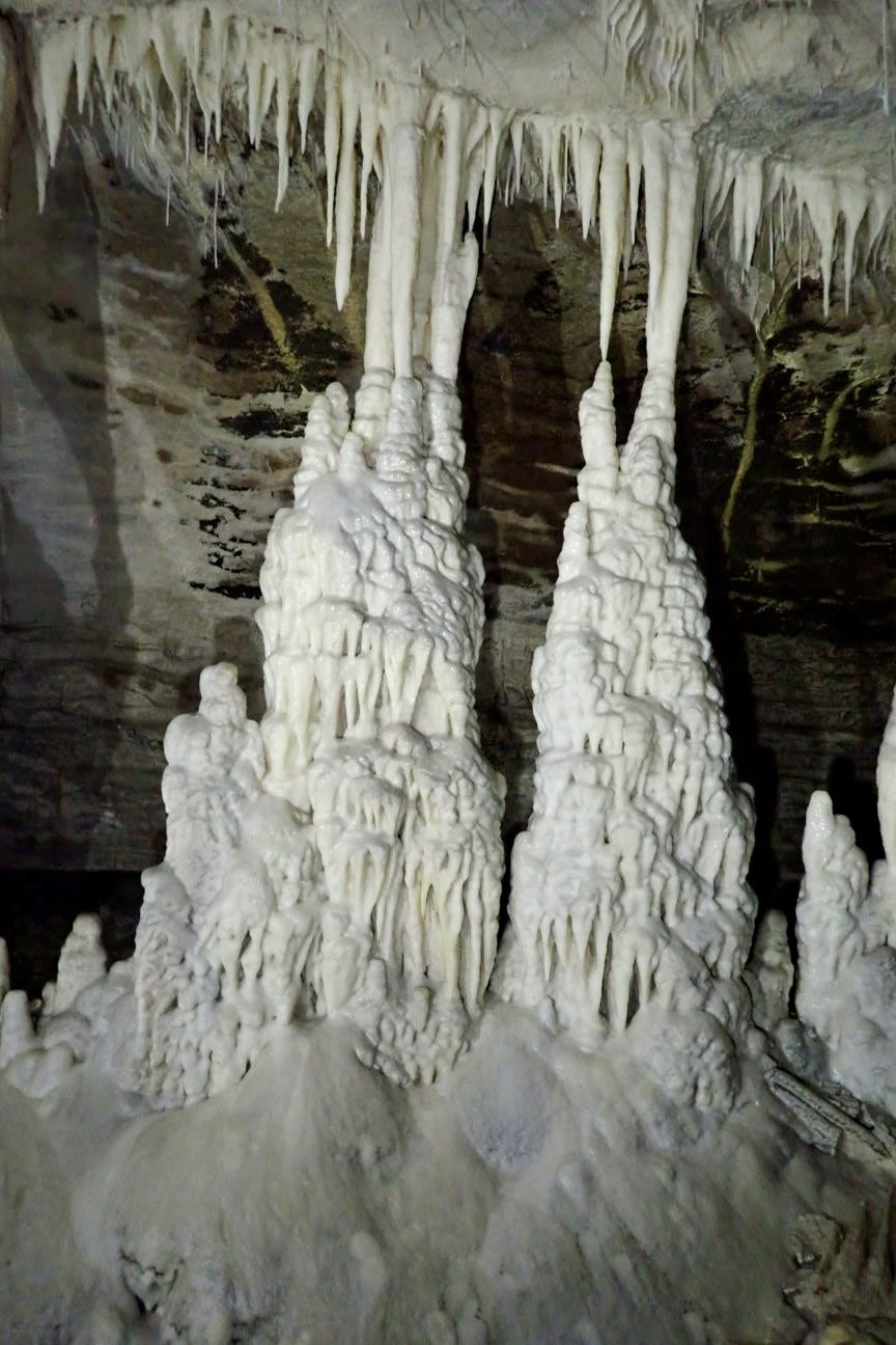
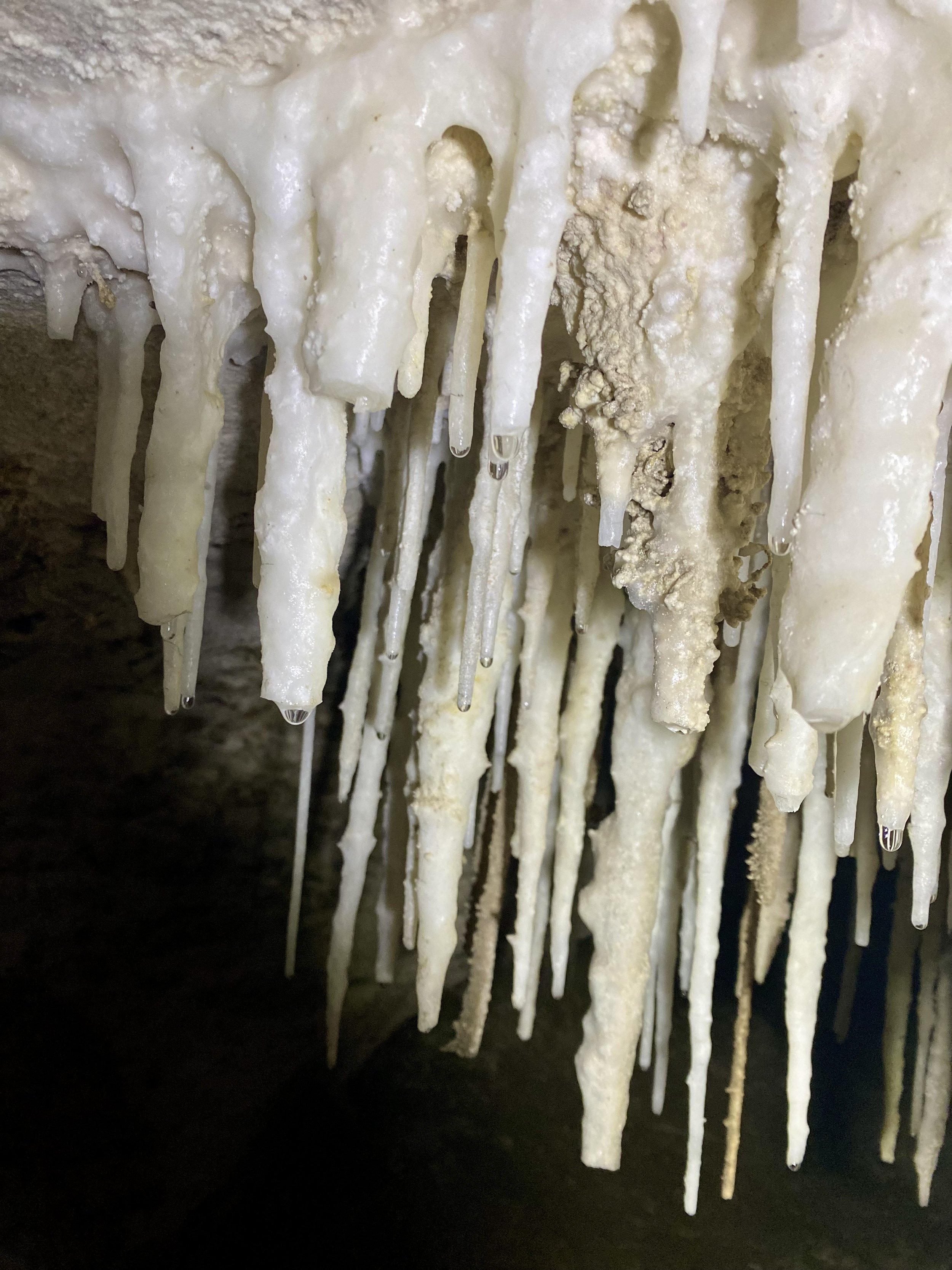
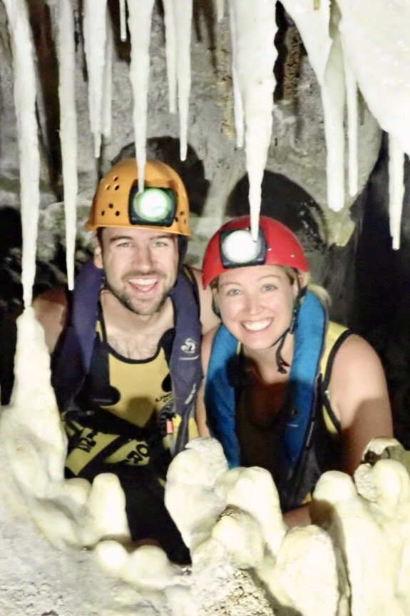
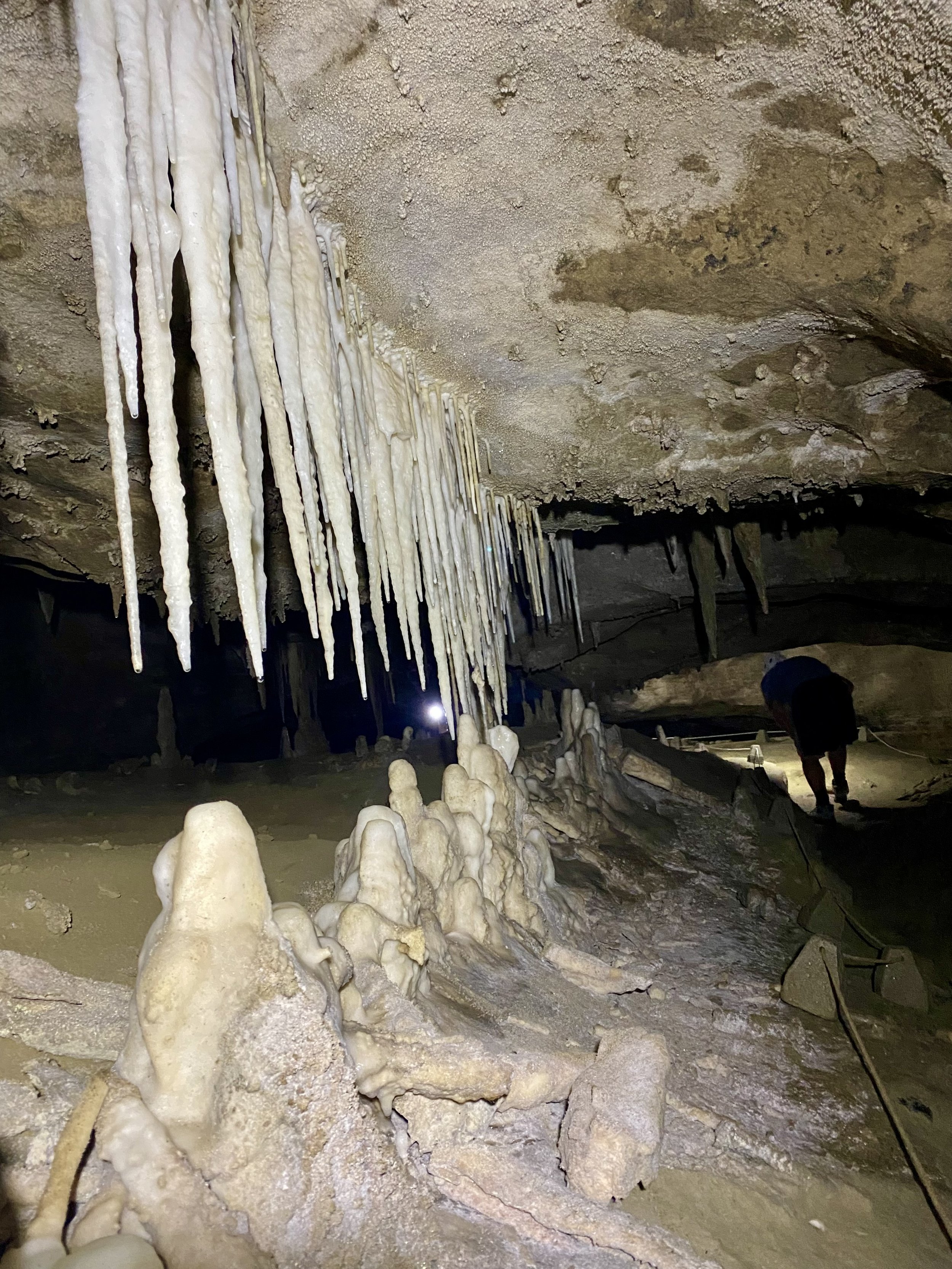
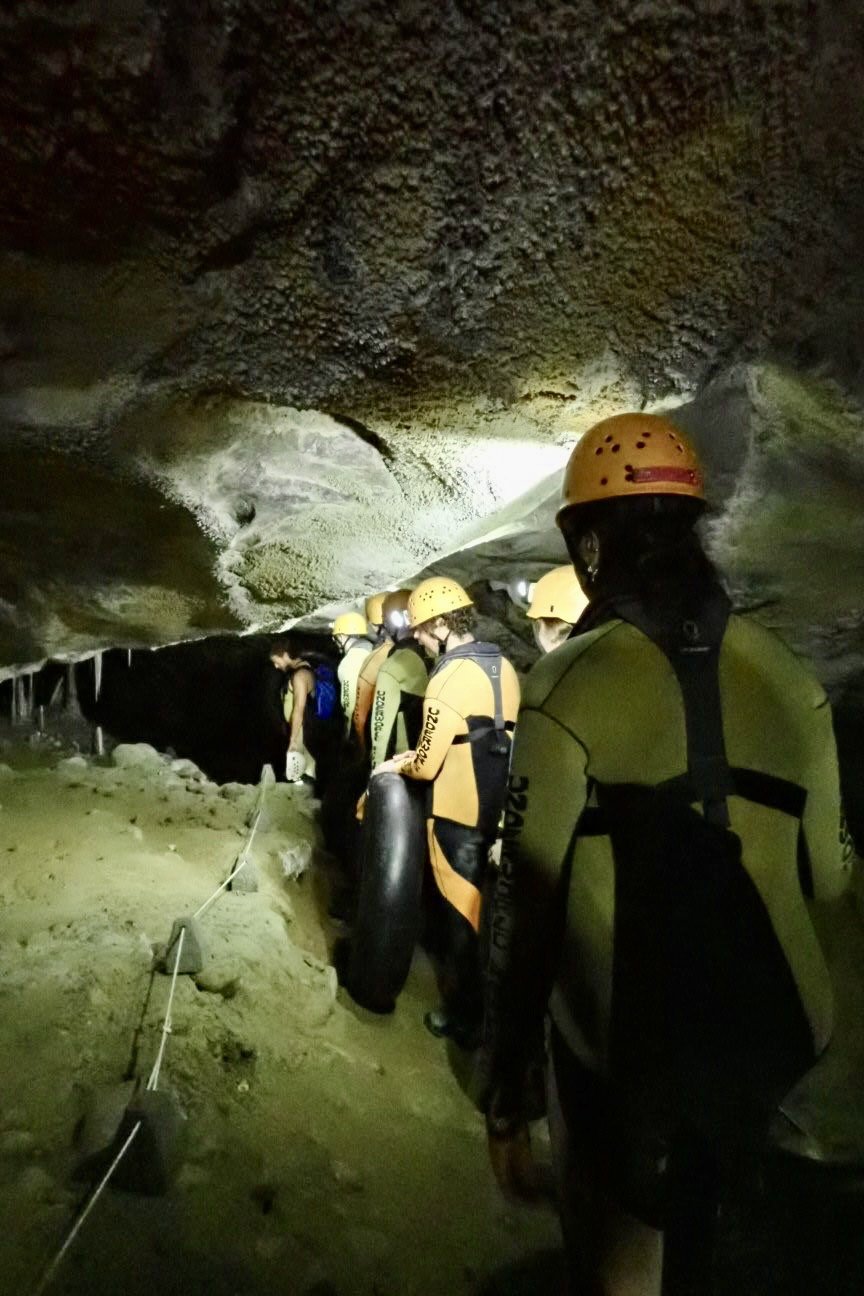
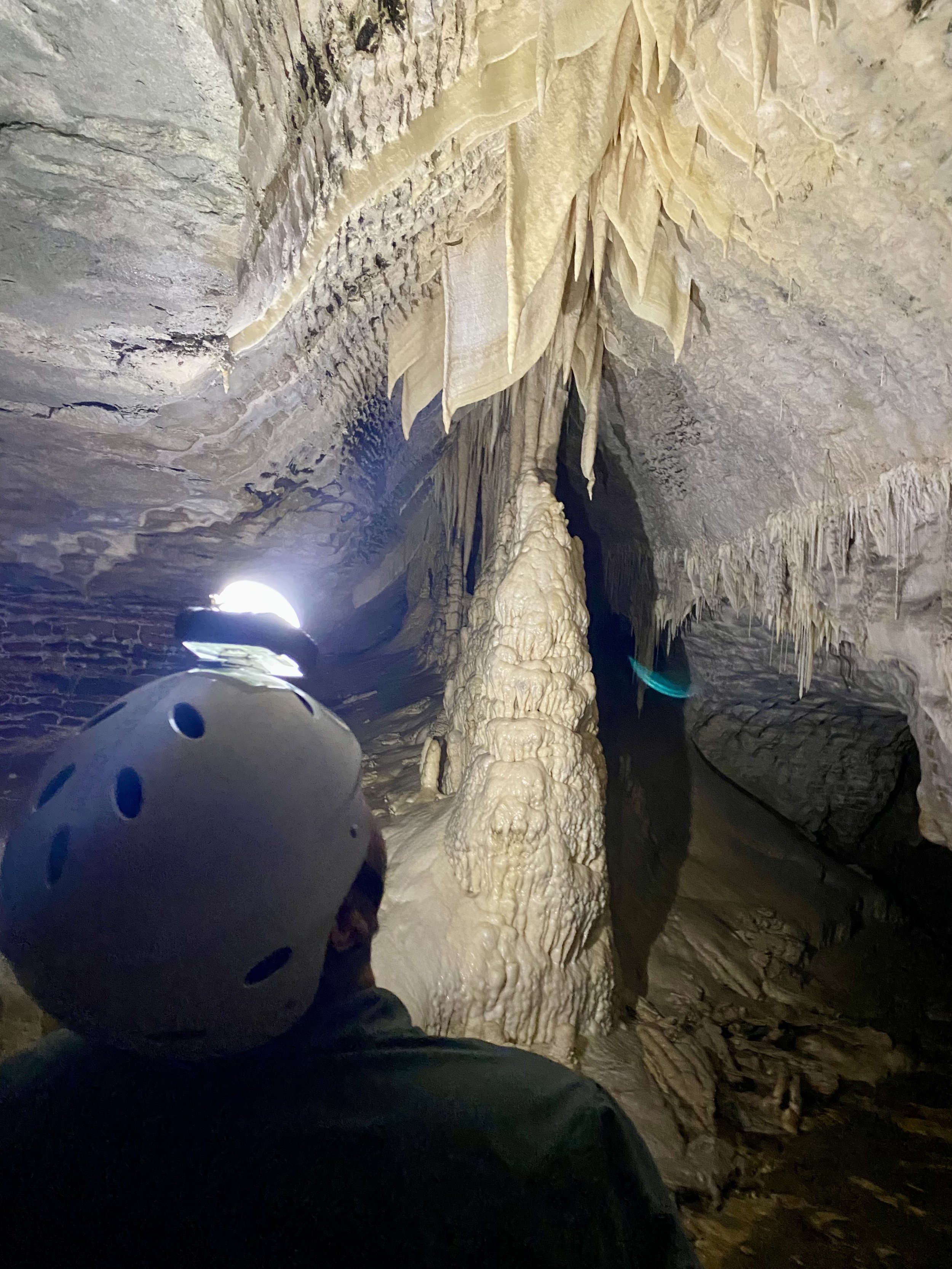
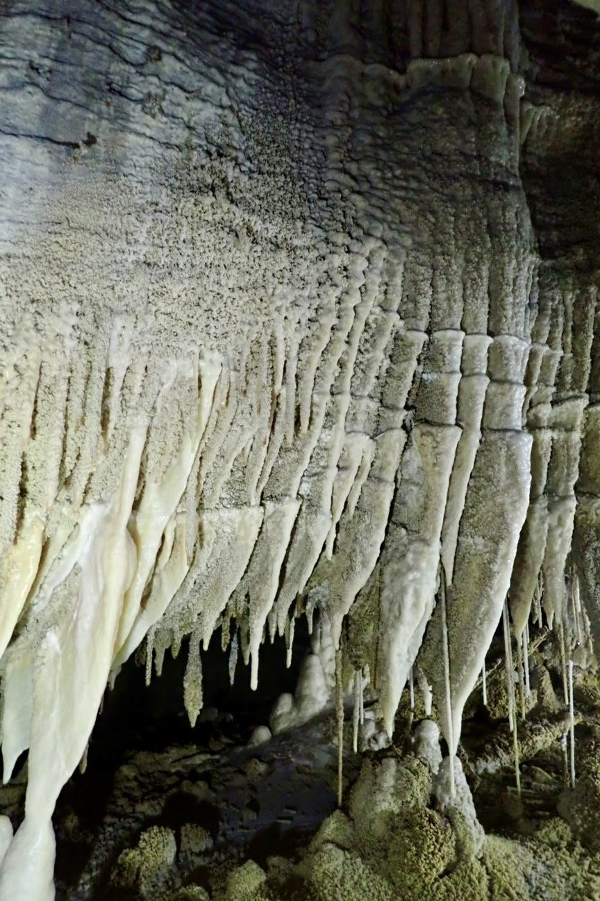
New Zealand is home to glowworms that live in some of the caves. We were keen to get underground (despite both of us being claustrophobic) and experience these glowworms first hand! So the next afternoon, we spent 4 hours exploring the Metro Cave system, an 8km limestone cave formed by the Nile River up in Charleston. Metro Cave has remained pretty untouched and is one of the few caves visitors can access without any barriers or railings. We began on level 1 and made our way down to level 2 looking at all the amazing stalagmites, stalagtites, columns and more! We also were able to experience “true darkness” in one of the caverns that no natural light gets to. You could not tell if your eyelids were open or closed!!
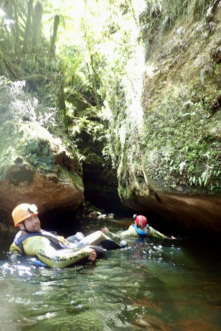
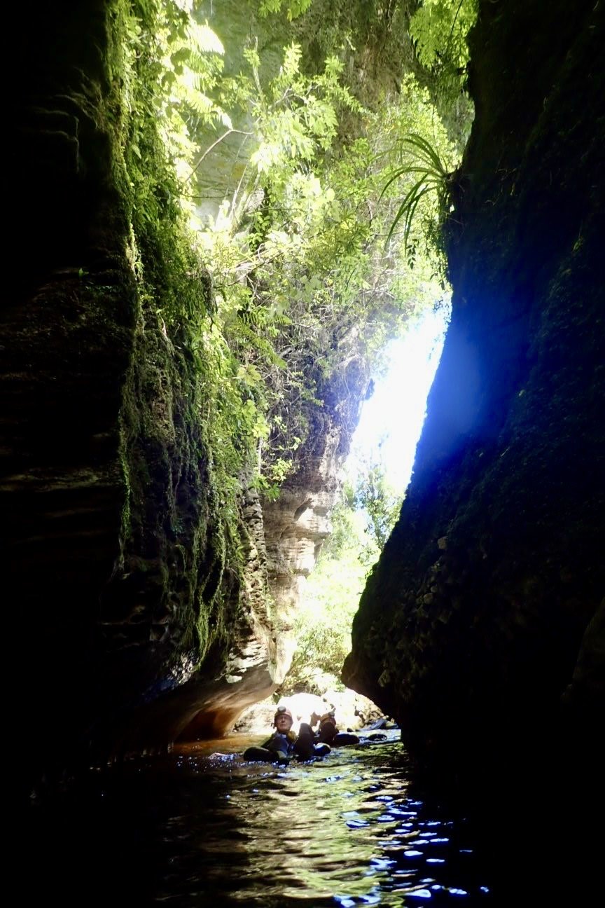
We finally made it down to level 3 where the river is, and where the Glowworms are! The Glowworms are the larva stage of a fly whose poo glows! The glowworm larve are the size of a matchstick and have small web like strings that hang down with the glowing poo 💩 to attract insects for food. The glowing is activated by vibrations so our guide hit the water with his inner tube to wake them up. We then jumped in our inner tubes and floated along a lake inside the cave whose roof was covered with hundreds of thousands of Glowworms! The cave tour ended at the large limestone entrance where the Nile River flows in. We rafted in our tubes down the lazy river back to our starting point!

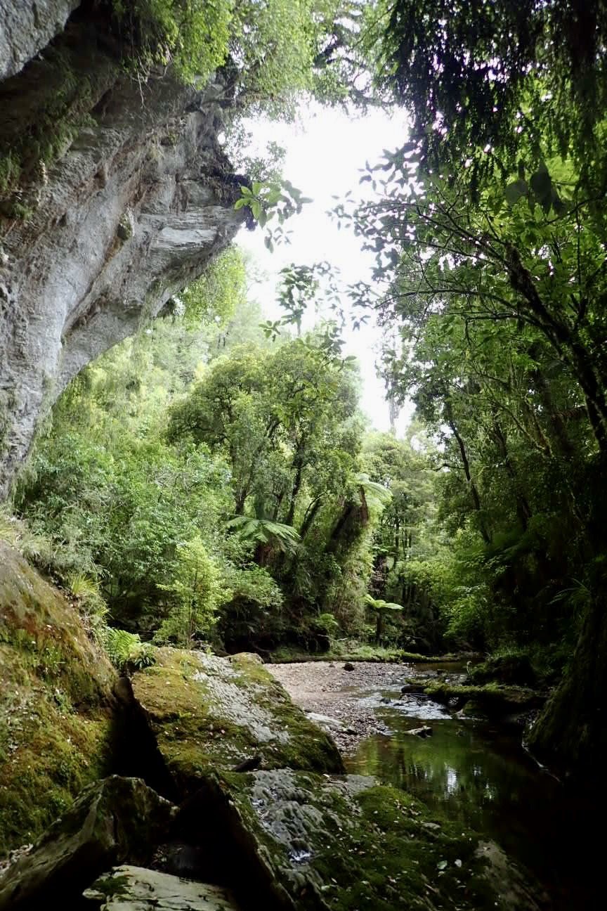
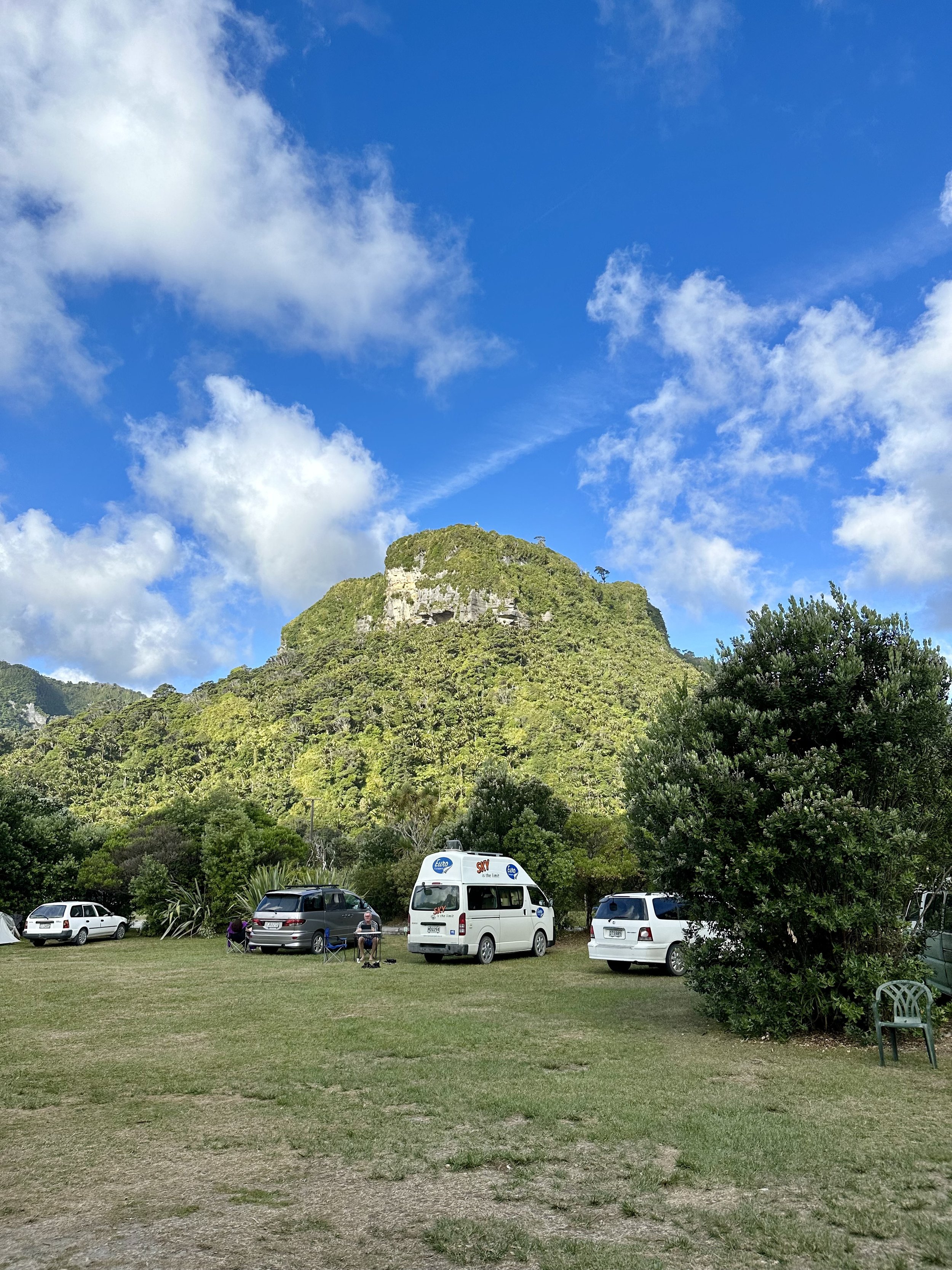
We continue driving south down the West Coast and spent the evening at Punakaiki Beach Camp. This turned out to be another favorite campground of the trip! The campground was right on the beach, with gorgeous views of the limestone walls making up the area. There was also a group of birds that sounded like walkie-talkies who became very vocal at sunset!


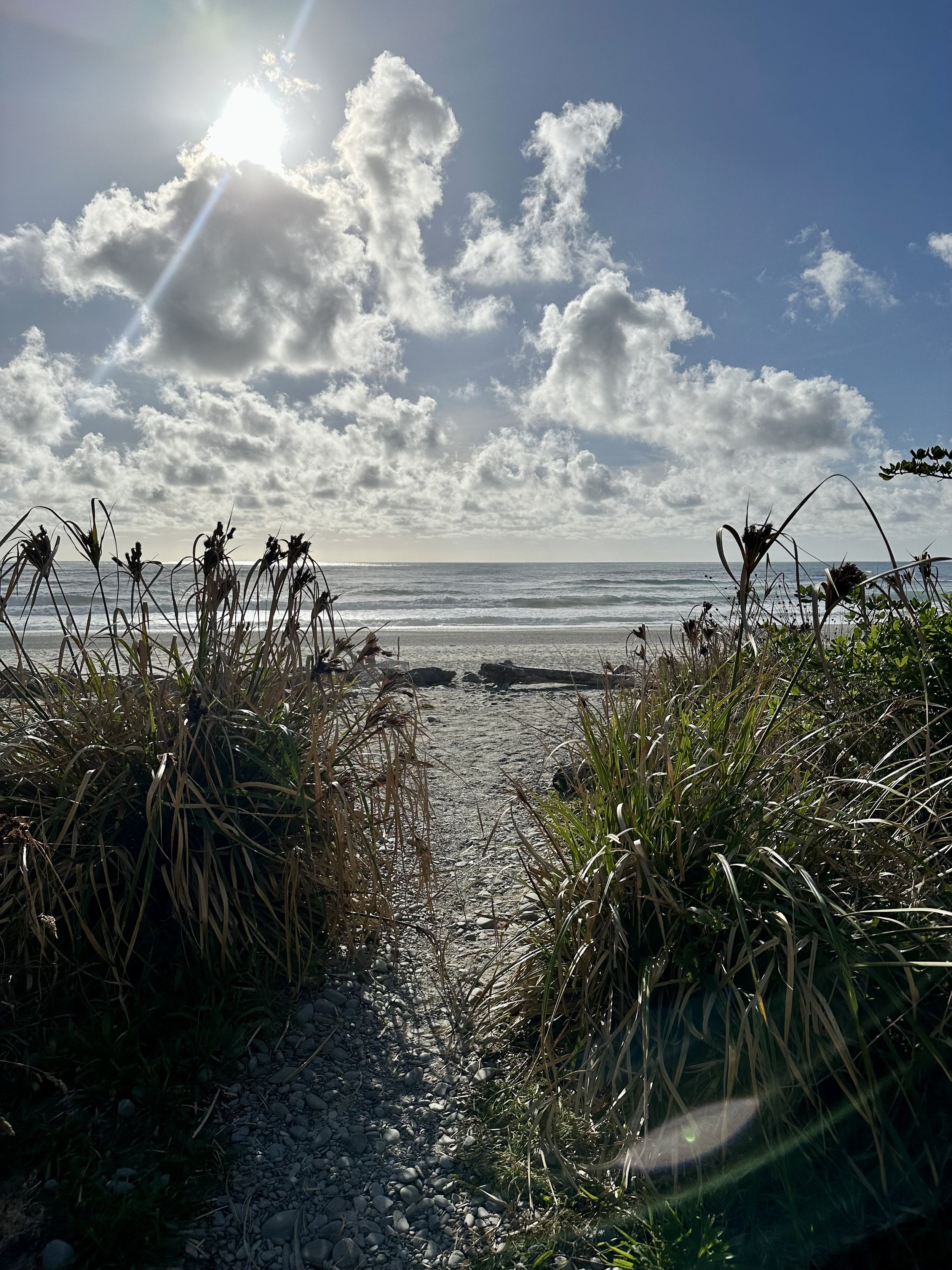
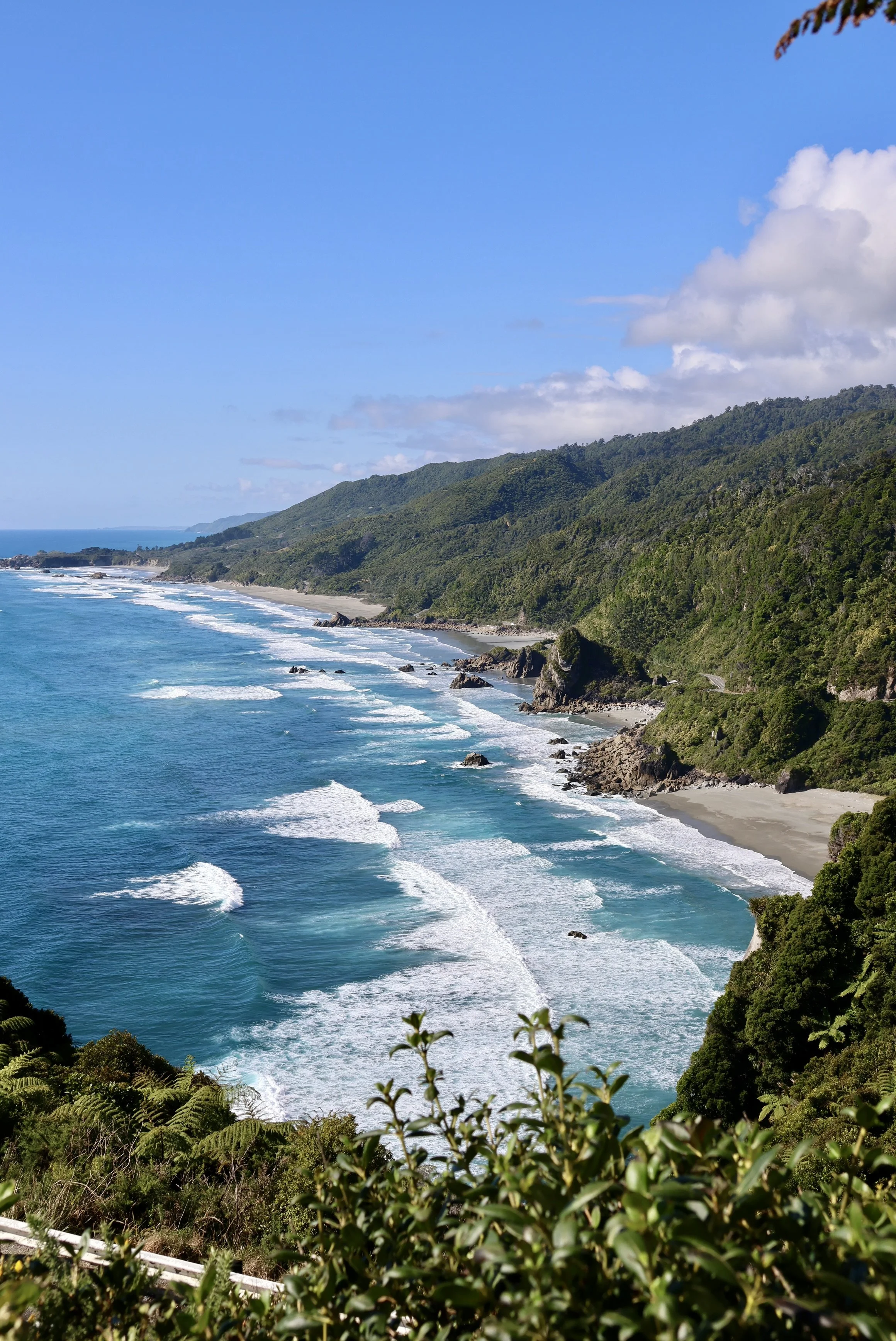
The west coast of the South Island has wild rugged coastlines next to flat plains that dramatically rise up into the Southern Alps. This mountain range is the product of the Australian-Pacific plate creating the Alpine Fault. We drove from Charleston to Haast along some of the most beautiful coastal highways.
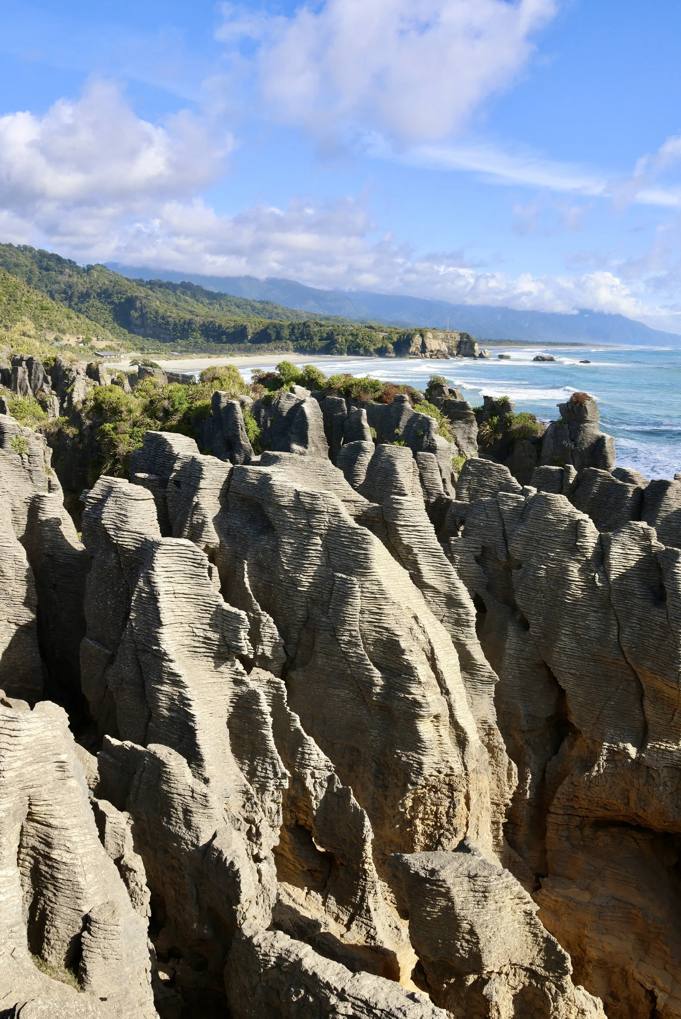
One of our stops was Pancake Rocks just outside of Punakaiki. This mysterious limestone formation is the result of millions of years of erosion & stylobedding. Now that the rock formations are above sea level, the water and tides continue to erode the soft limestone to form buttresses and blowholes! We visited at low tide so we didn’t get to see the blowhole in action, but the layered rocks were a sight in themselves!



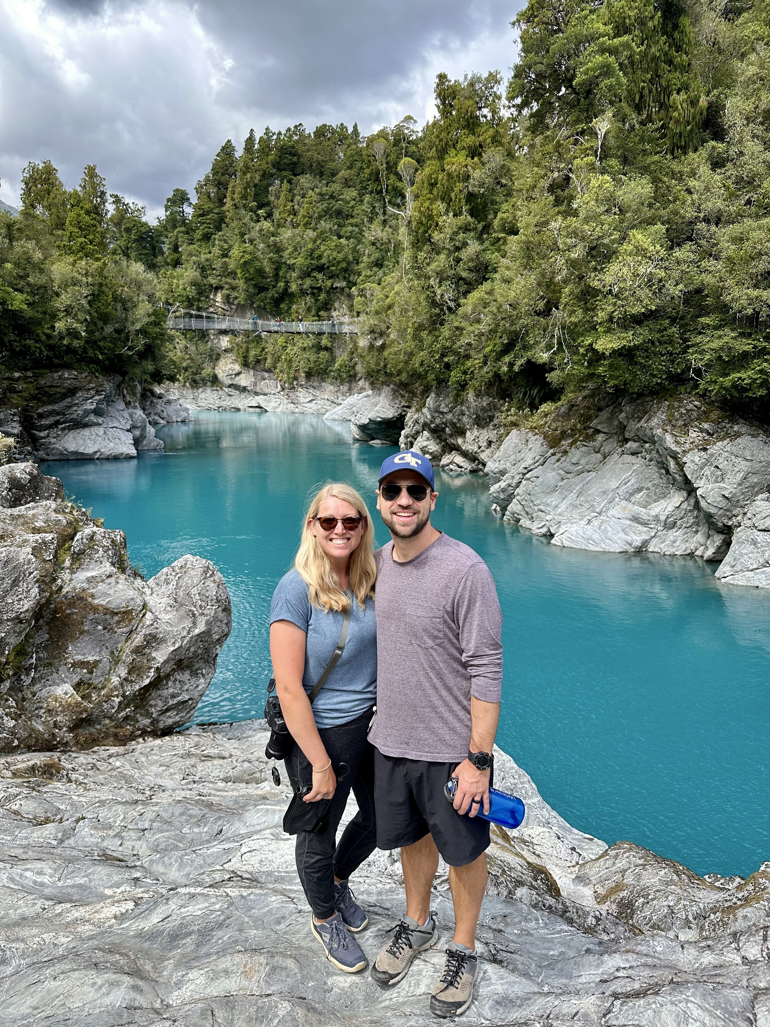
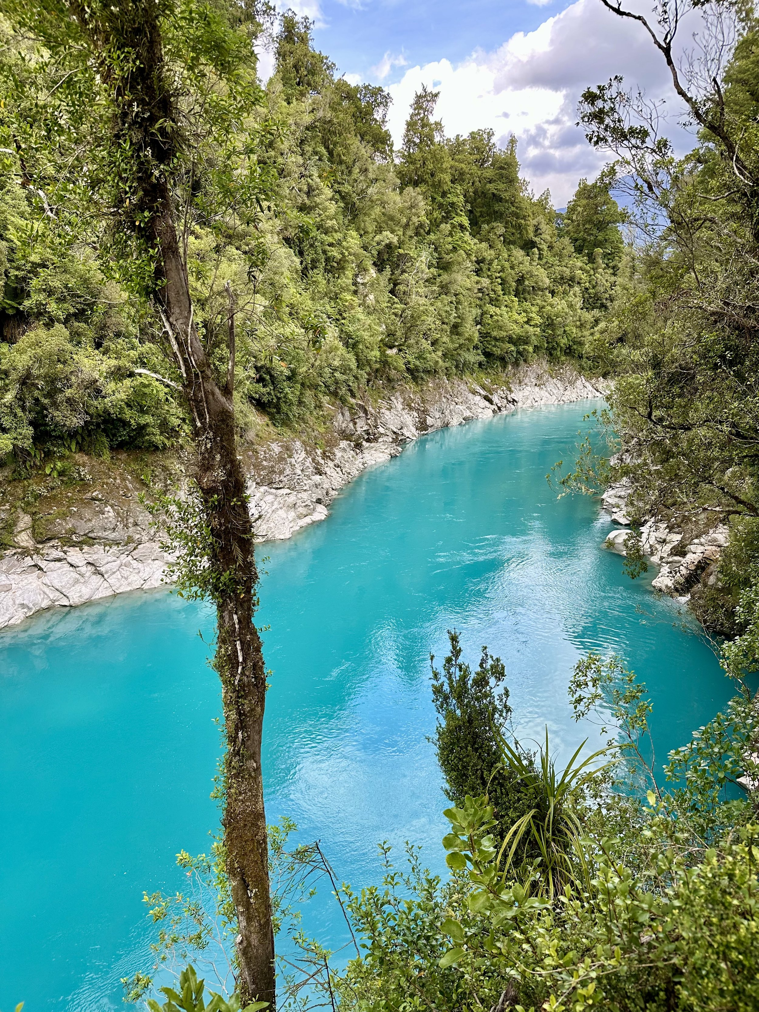
Another stop we made was to visit Hokitika Gorge. This gorge was sculpted by glacial movement and now has gorgeous turquoise water flowing through. The turquoise color of the water is a product of rock flour, glacial melt, and rain runoff! It was stunningly blue and looked unreal in person.




As we continued south, we officially entered “Glacier Country”. As soon as Matt saw the sign, he turned on “How The Earth Works: Lesson 37- Glaciers, the Power of Ice”. Needless to say, it was a very informative podcast and helped define what we would be seeing over the next week while in Glacier Country & Fiordland National Park!
We stopped at Frans Joseph Glacier & Fox Glacier viewpoints to see the most popular glaciers in NZ. Both of these are easily accessible and can be seen from the road! They are on the west side of the Southern Alps and plunge down through the subtropical rainforest into the ocean. They are unfortunately receding very quickly but we are glad we had the opportunity to see them on our trip!
We stayed in the quiet town of Fox Glacier and at the Fox Glacier Top 10 Holiday Park, which overlooked the mountain range, including Fox Glacier! We had amazing stargazing and could clearly see the Milky Way!



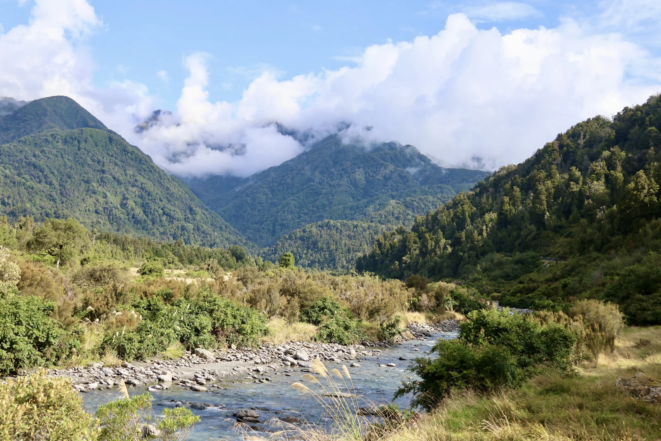

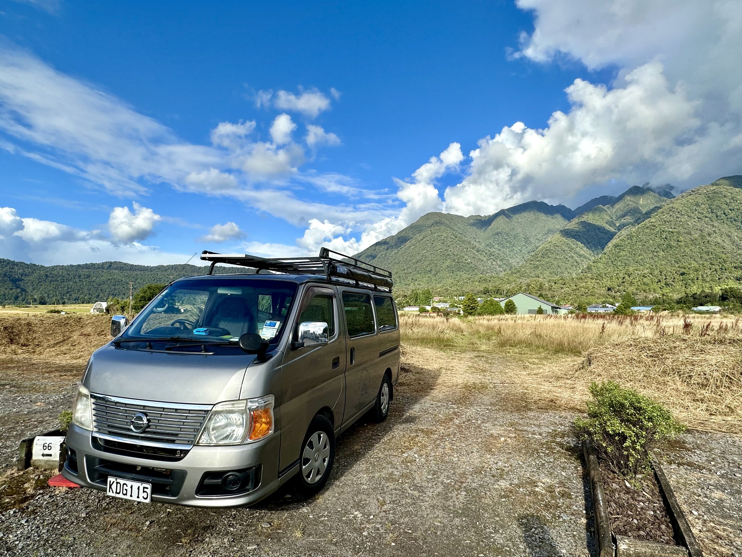
We awoke to a rainy day, not uncommon for the area, as we started our drive across the Southern Alps via the Haast Pass. There are three passes across the Alps in NZ and we are taking the southernmost one (and lowest in height) which is a good thing since Rigby doesn’t do uphill well 😅.
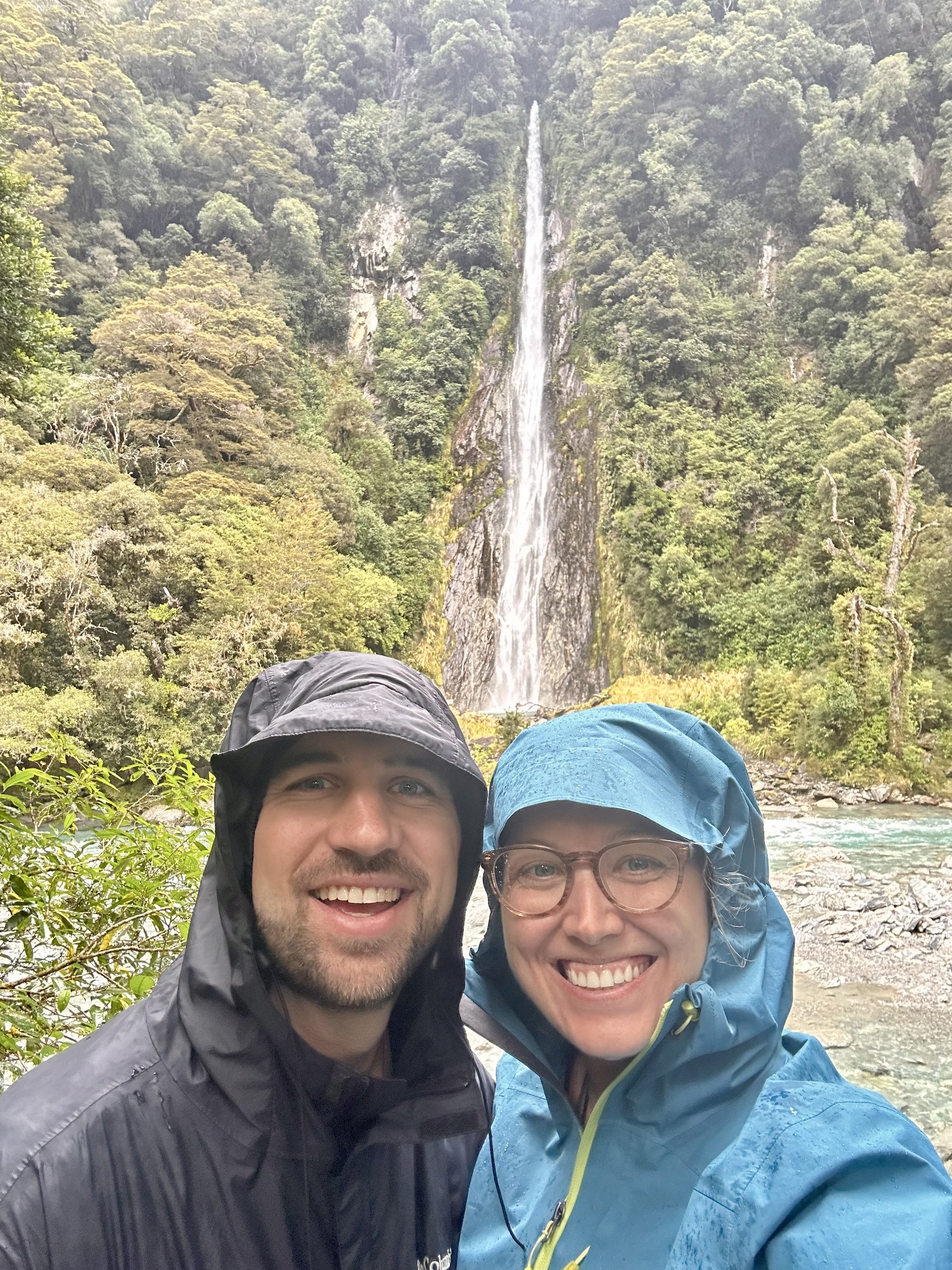
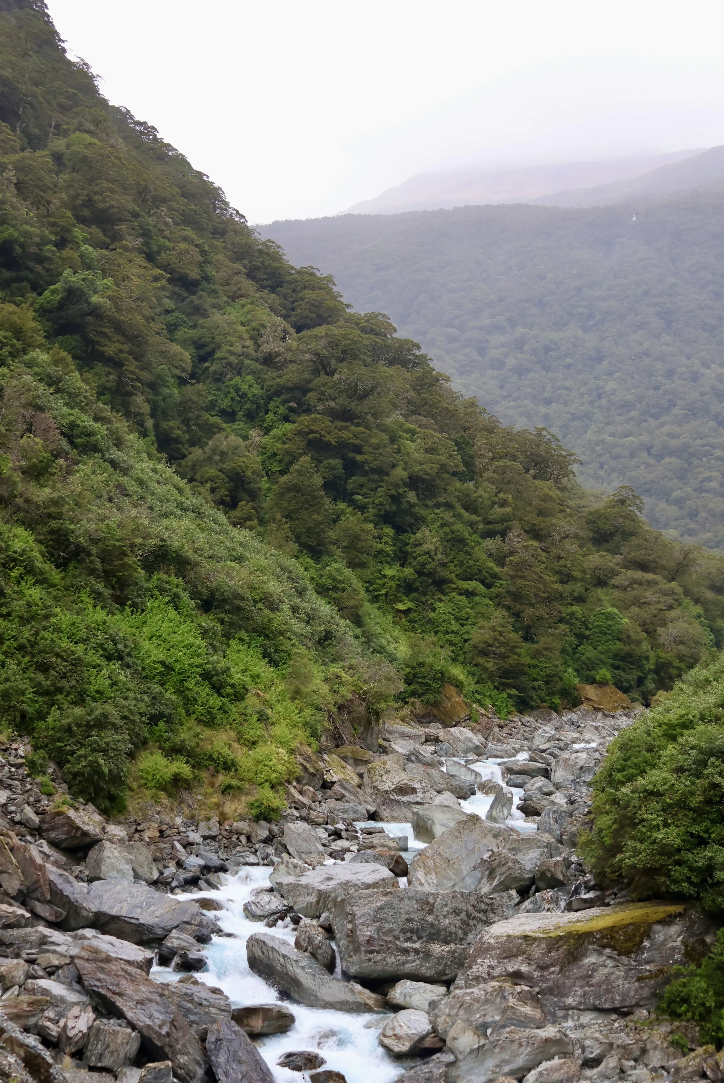
The moss covered beech forest hills turning into sheer sided valley walls filled with waterfalls was the perfect setting to cue up the LOTR soundtrack. We made a few stops along the way to Roaring Billy Falls, Thunder Creek Falls, Gates of Haast, Fantail Falls, and Blue Pools. The three waterfalls were stunning, with gorgeous clear blue streams/pools at the bottom. Thunder Creek Falls measured in at 28m (60ft)!
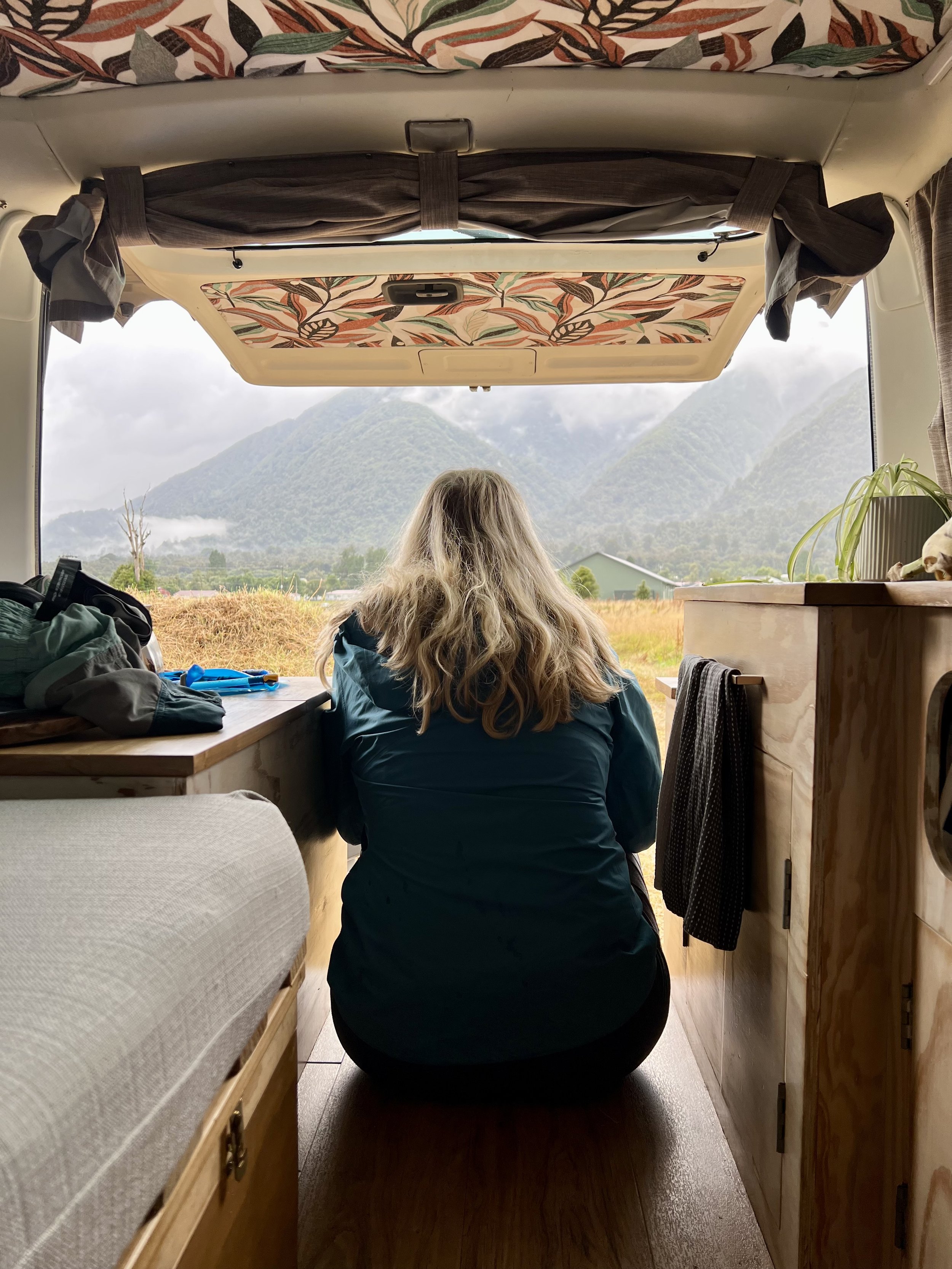
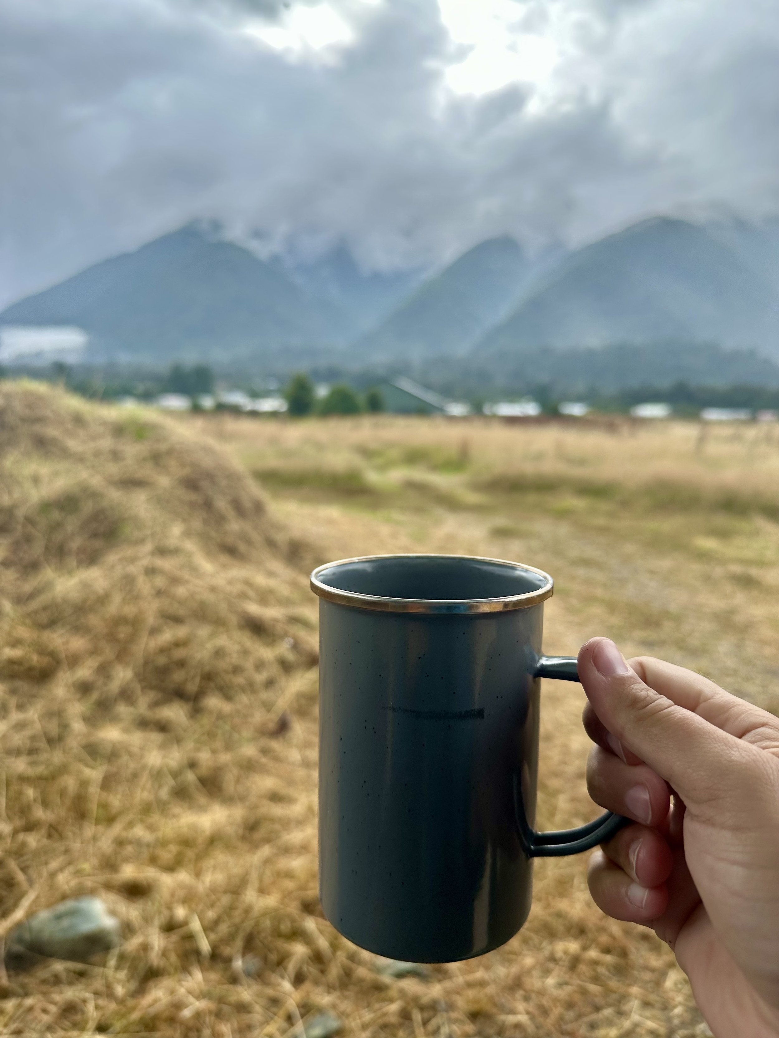





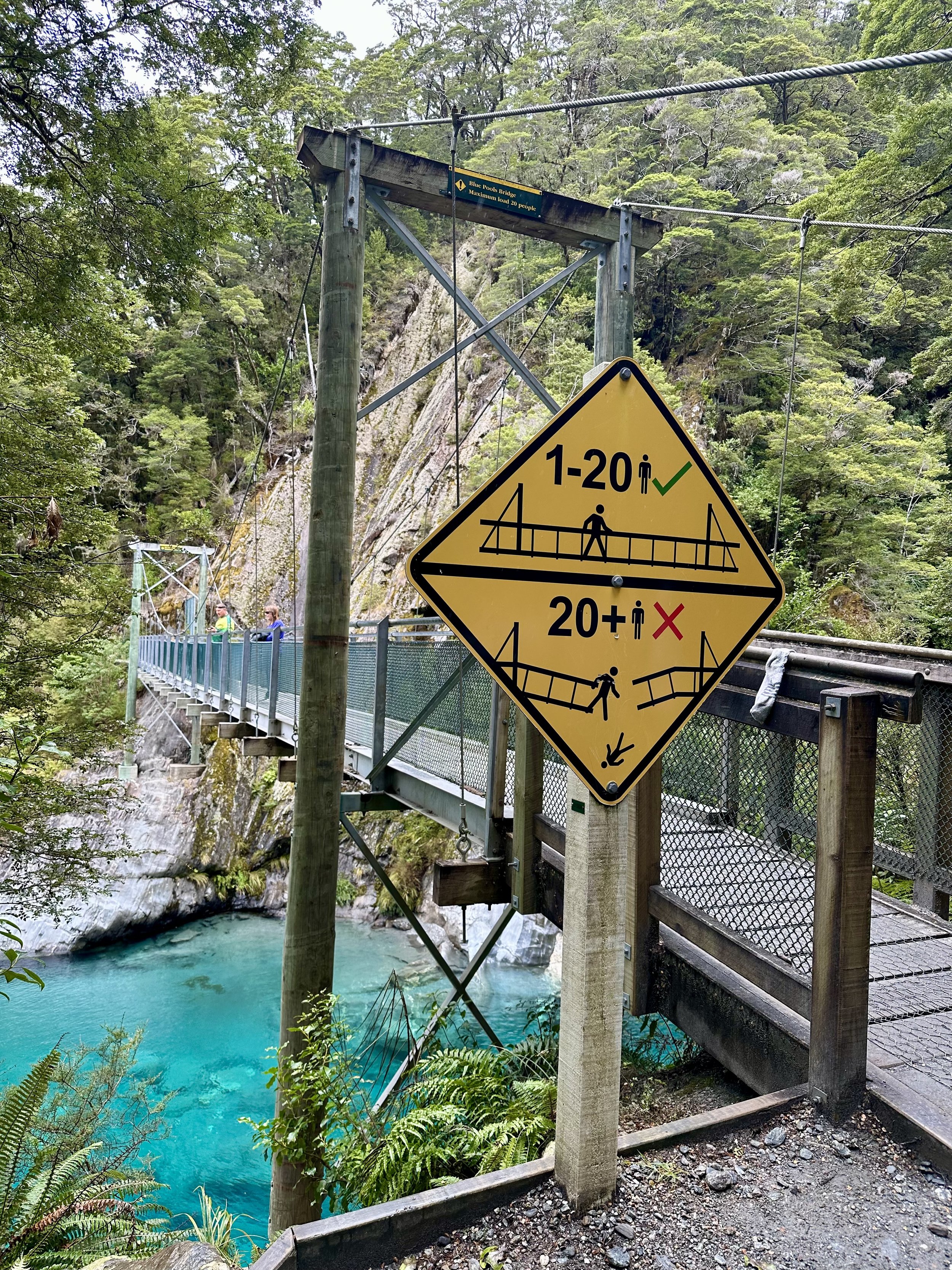
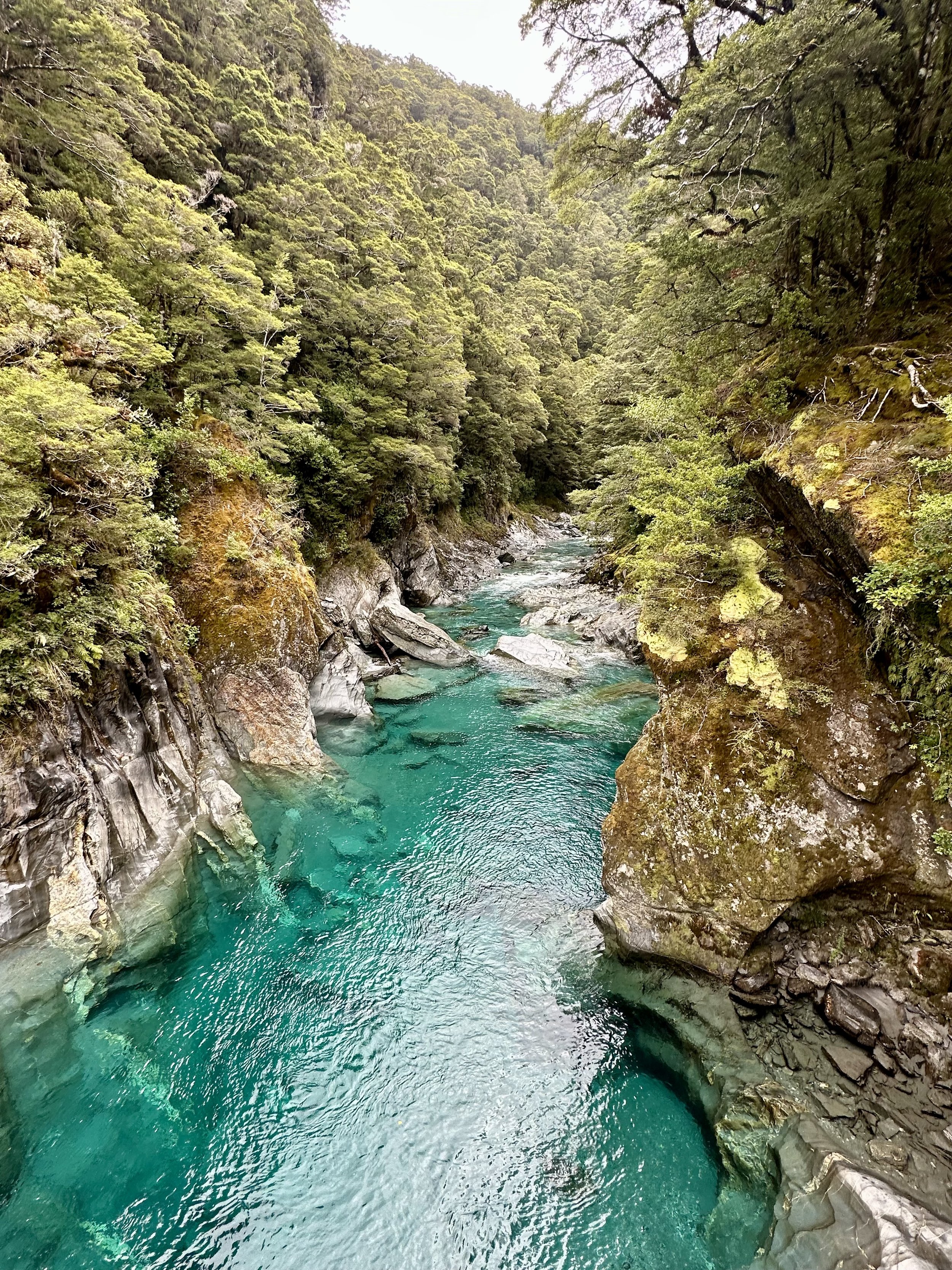
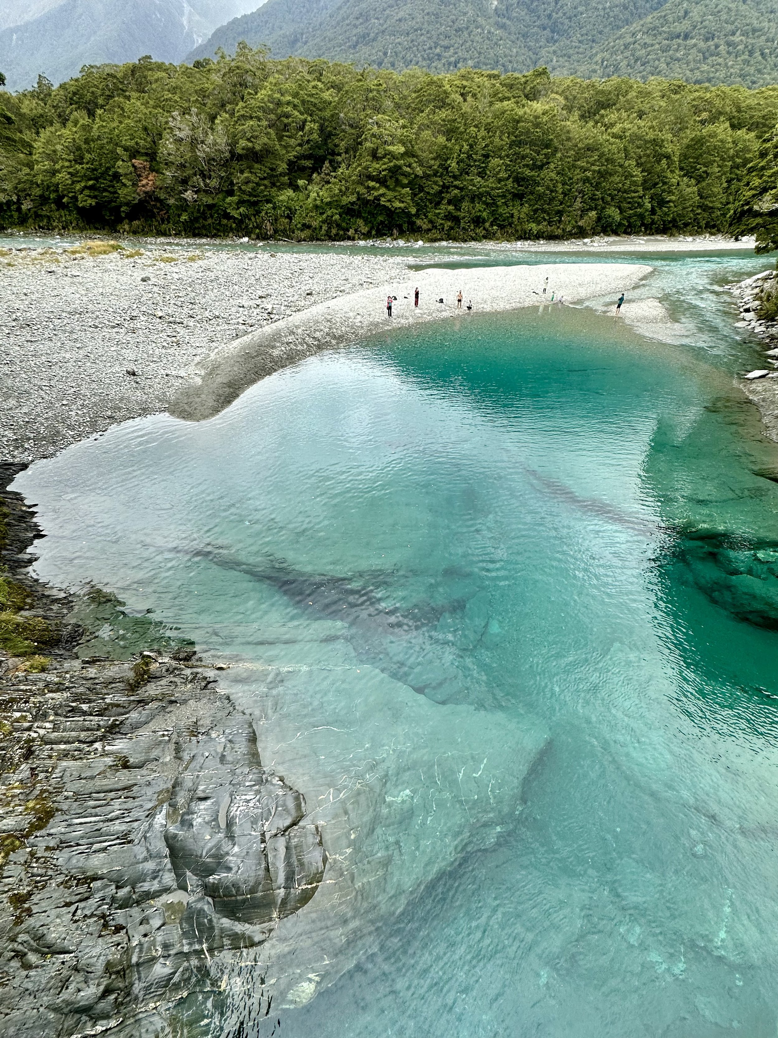
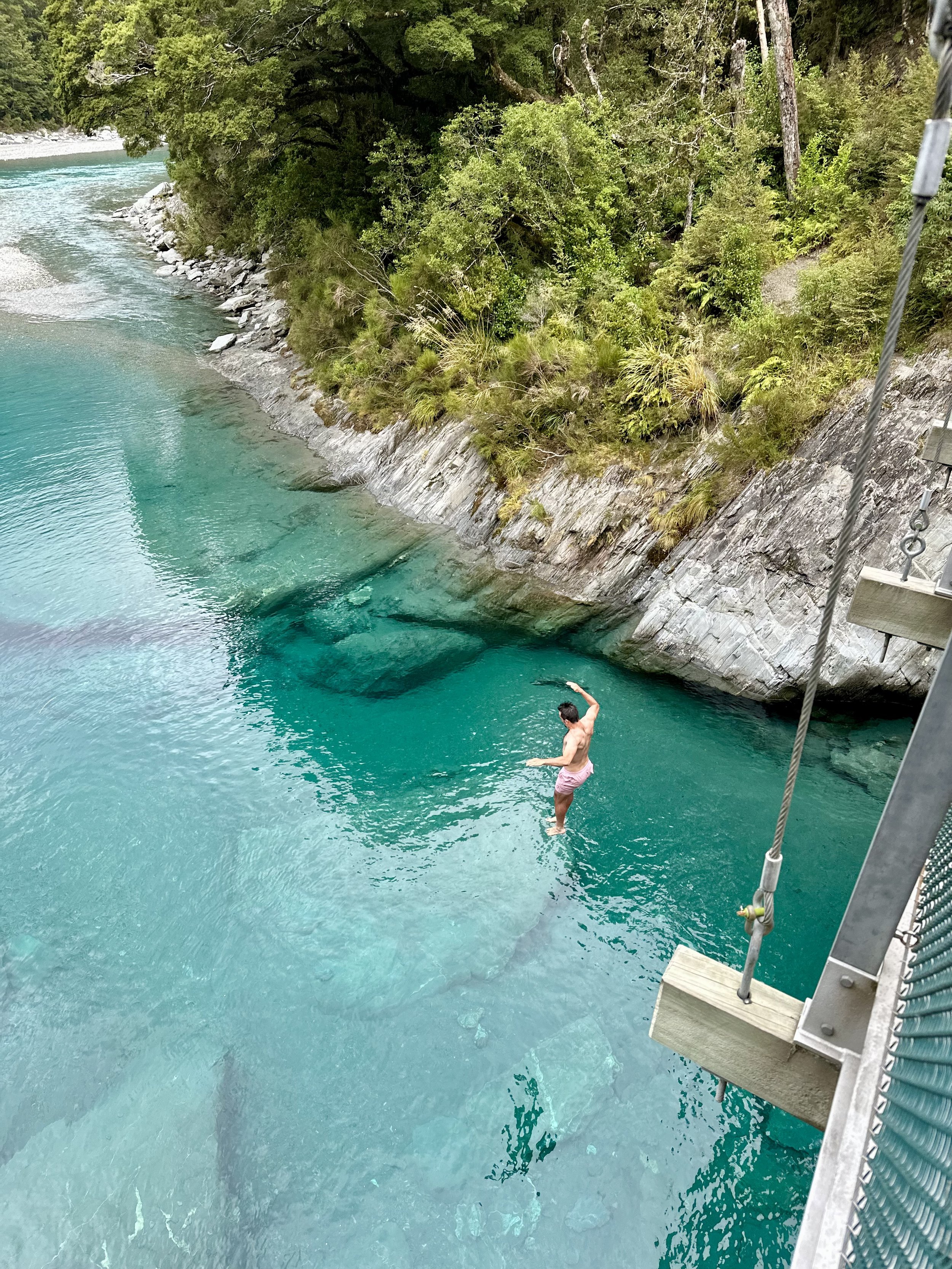
The highlight was the Makarora River’s Blue Pools. It was another example of glacial runoff carving through a gorge, creating deep pools, before joining with a river. The water was super cold but people were jumping in for a swim!


The Haast Pass takes us straight into the adventure capital of New Zealand, Wanaka & Queenstown. Our next post will talk all about our time in this region!

